Photo Gallery » Madeira mountains - Pico Ruivo trekking
Trekking on the highest mountains in Madeira. Tourist trail no. PR 1 from Pico to Arieiro (1 818 m) to Pico Ruivo (1 862 m). The route is not easy, maybe it is not too long - it is about 12-13 km both ways but the difference in levels is quite large - 1200 m down and 1200 m up, and the approaches are really steep. The walking time with numerous stops for enjoying the views and taking pictures is about 6-7 hours. It is worth planning a trip to return to Pico do Arieiro before sunset.


The trail begins on Pico do Arieiro
There you can reach Pico do Arieiro by car - there is a large free car park under the peak. I marked the exact place on the map.
Picture number (ID): 1501 Google Map
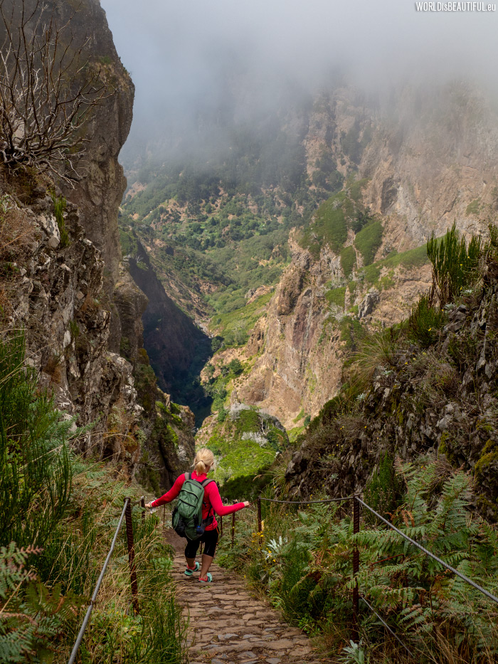
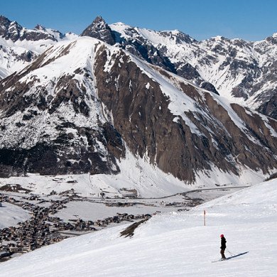
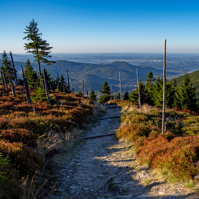
The hiking trail goes down almost all the time at the beginning. Sometimes the descents are very steep.
Picture number (ID): 1500 Google Map
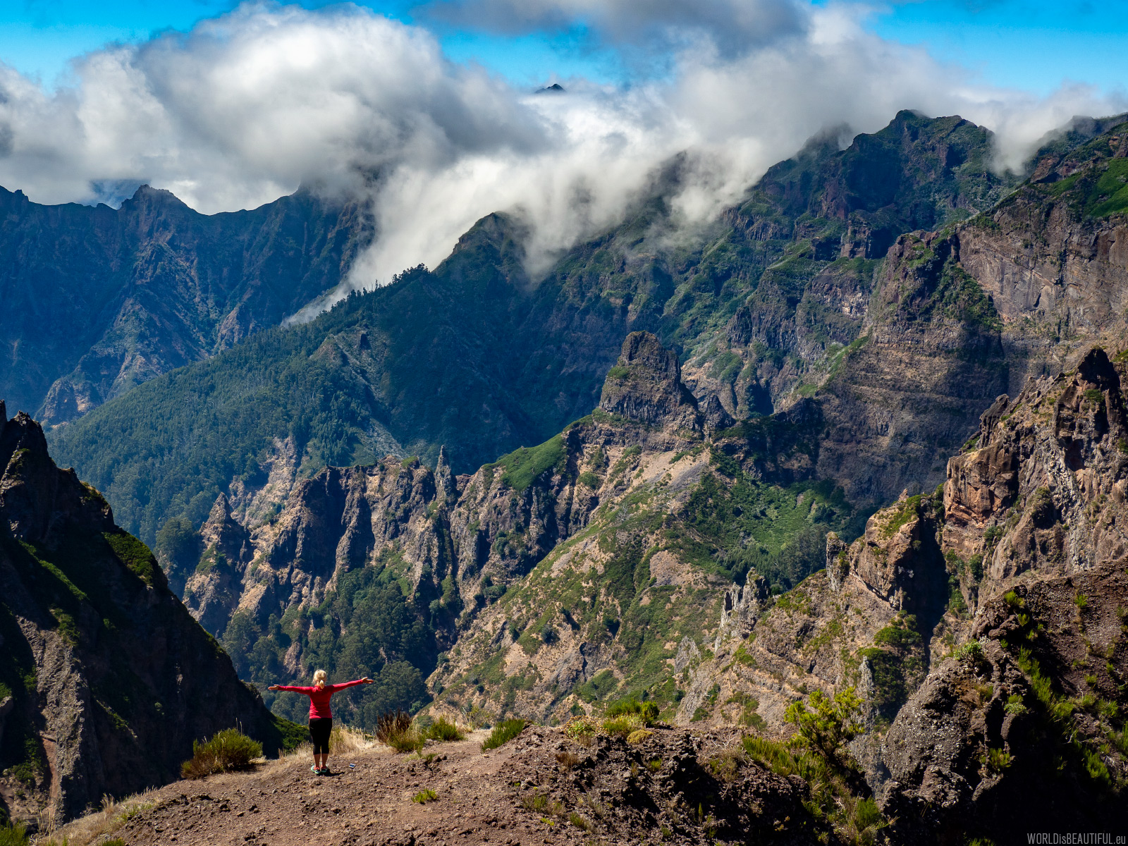
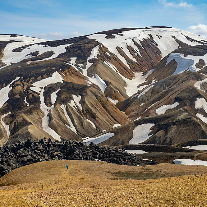
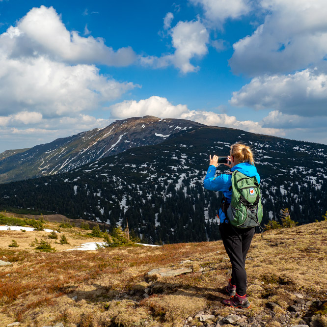
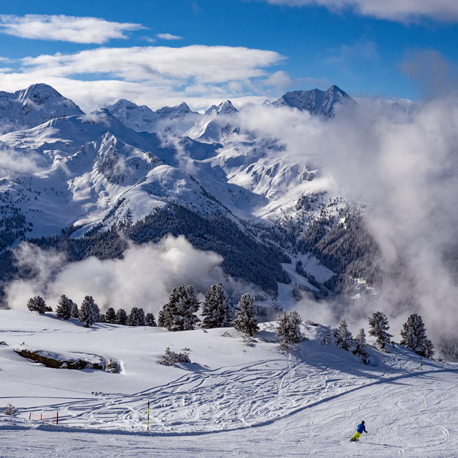
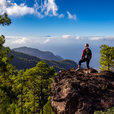
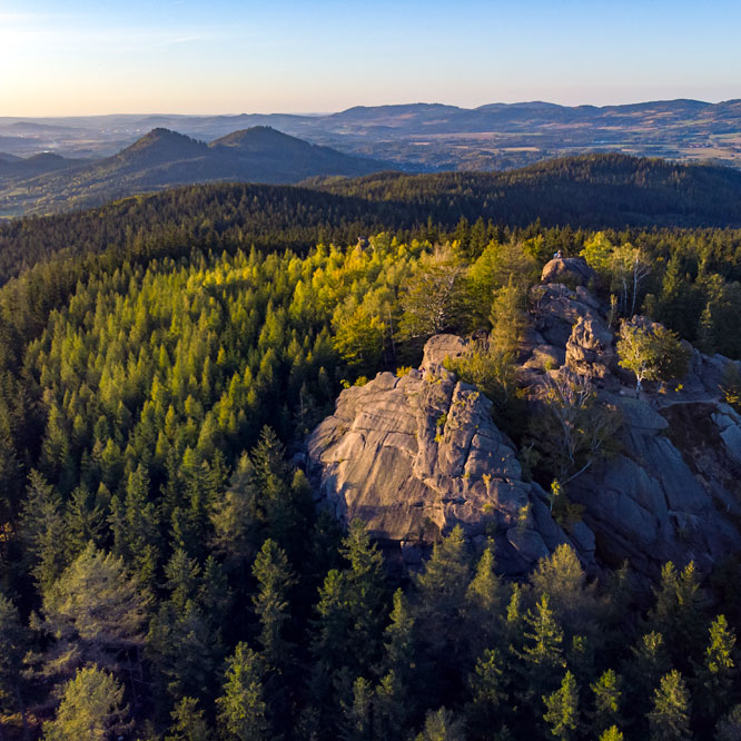
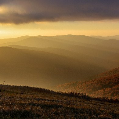
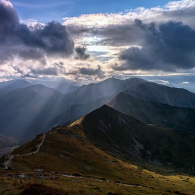
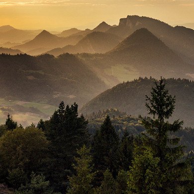
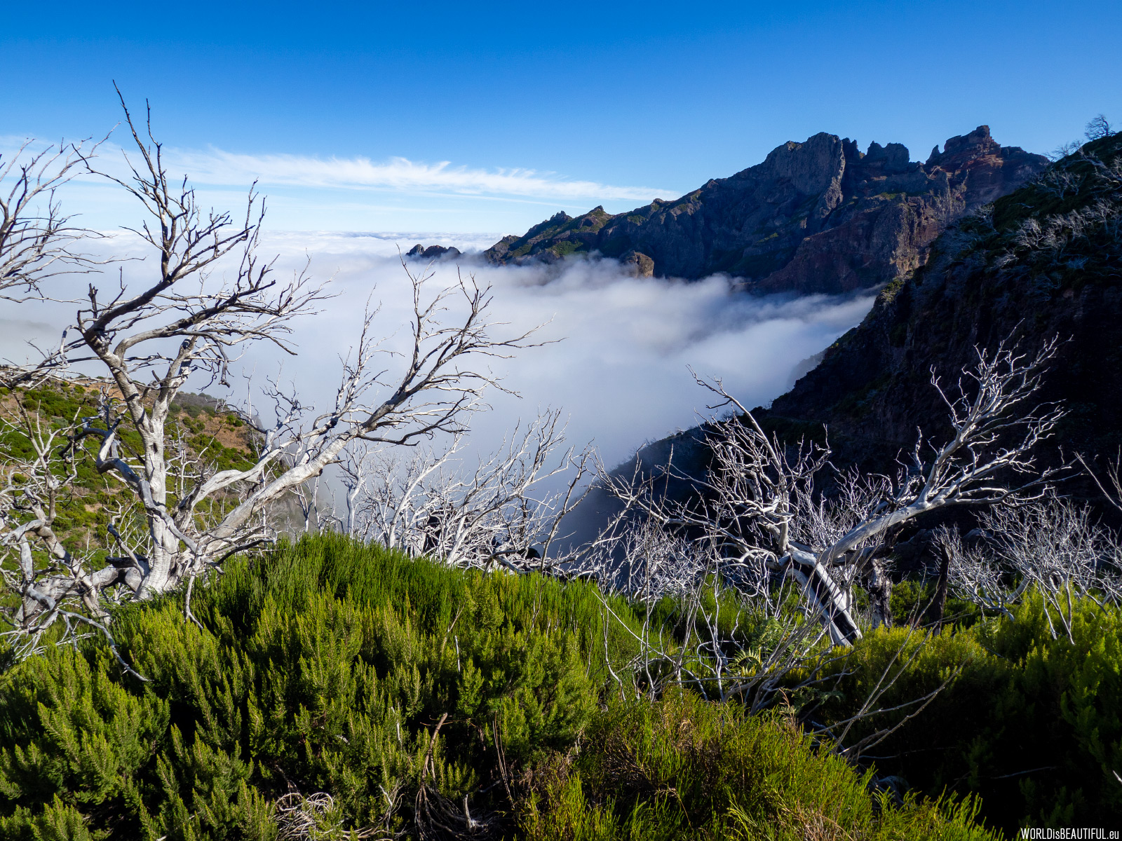
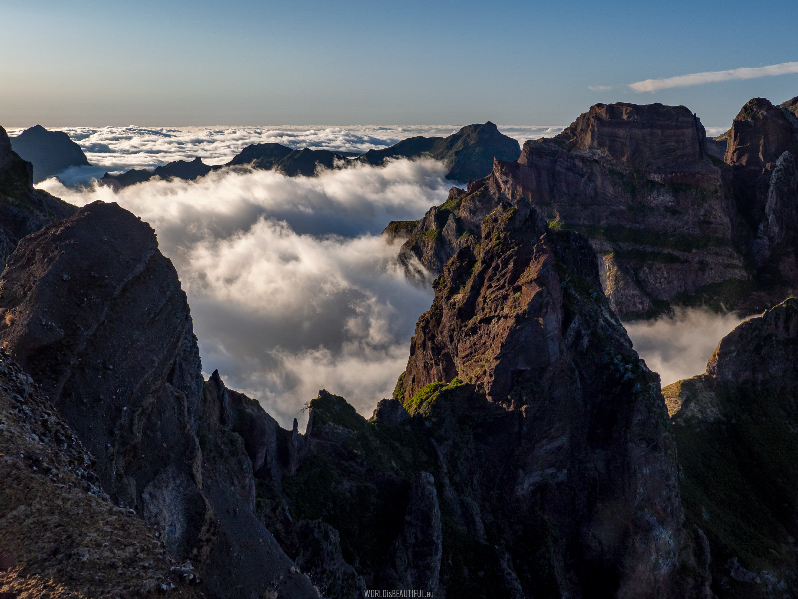
The mountain views of Madeira are delightful - steep slopes, sharp ridges, rocky peaks and swirling clouds ... you can stand and admire these amazing landscapes for hours ...
Picture number (ID): 1498 Google Map
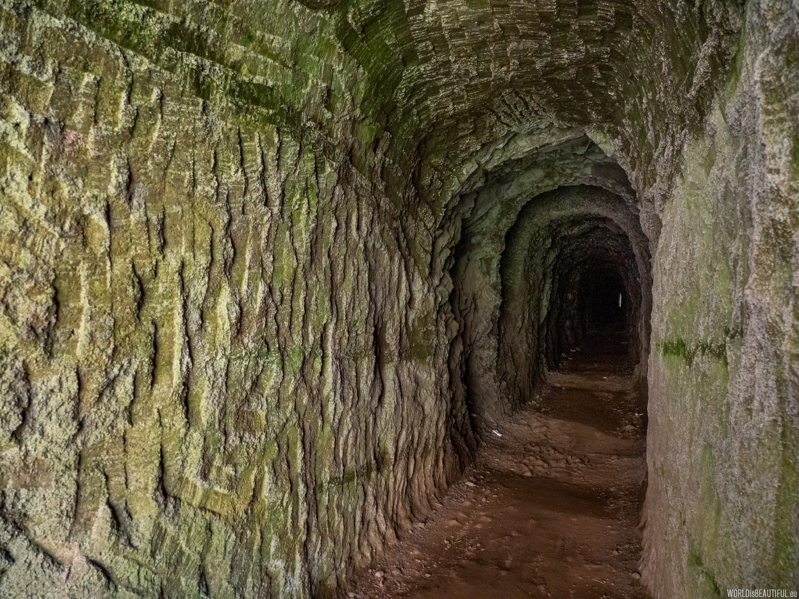
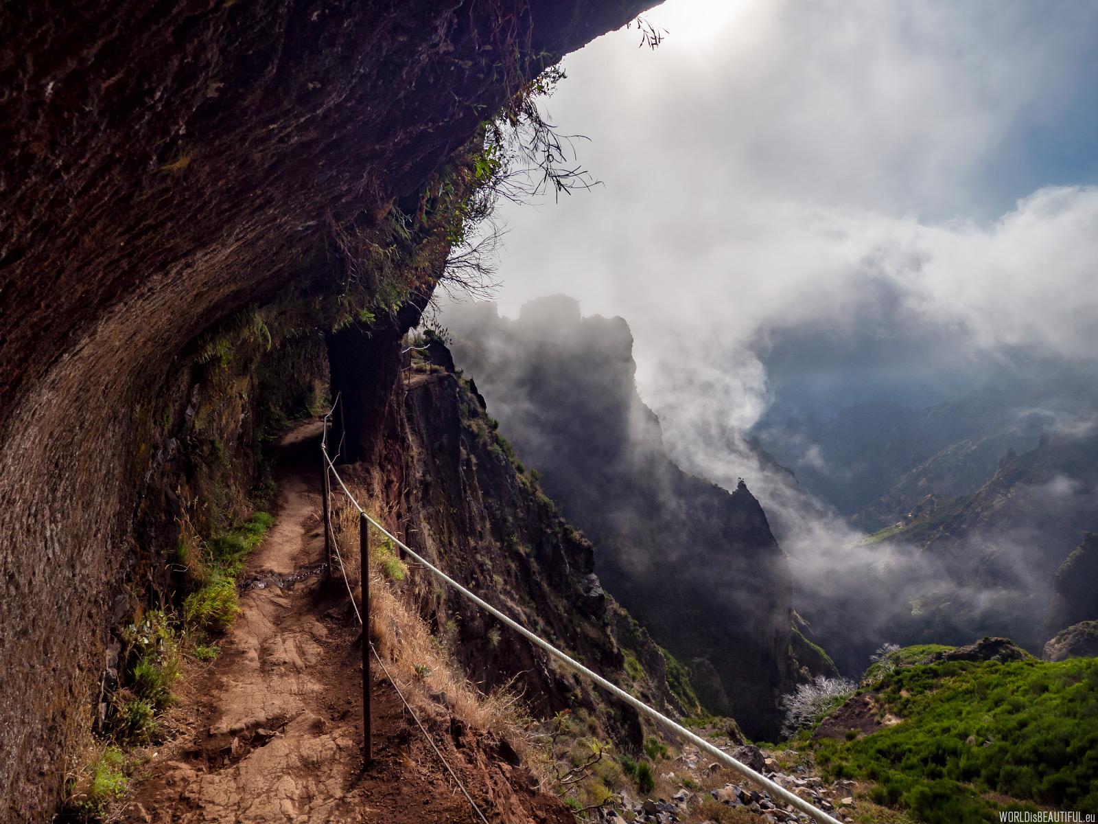
And again there are tunnels on the trail - this is probably the norm in Madeira. You always have to have a flashlight with you because some tunnels are really long and dark.
Picture number (ID): 1499 Google Map
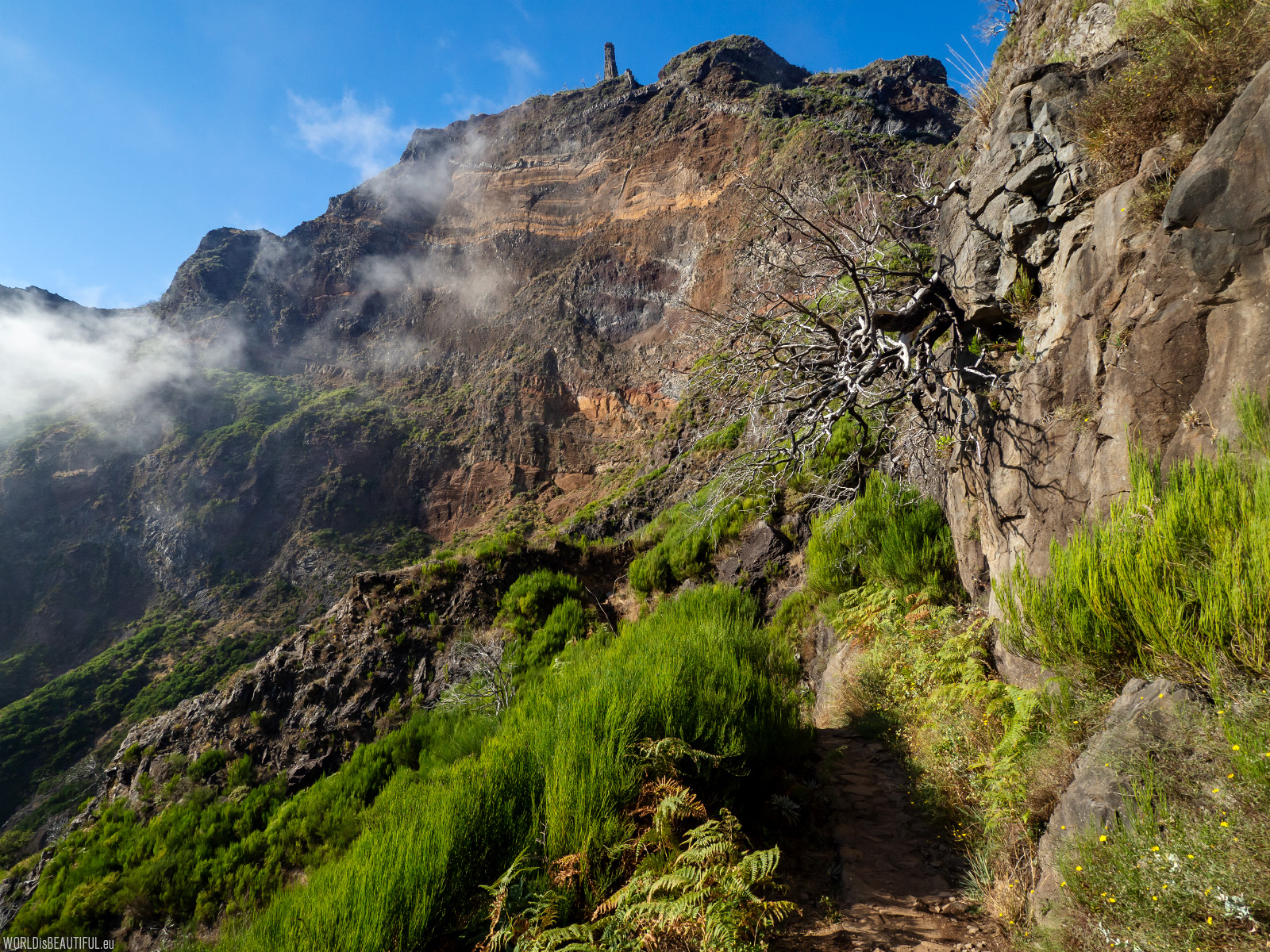
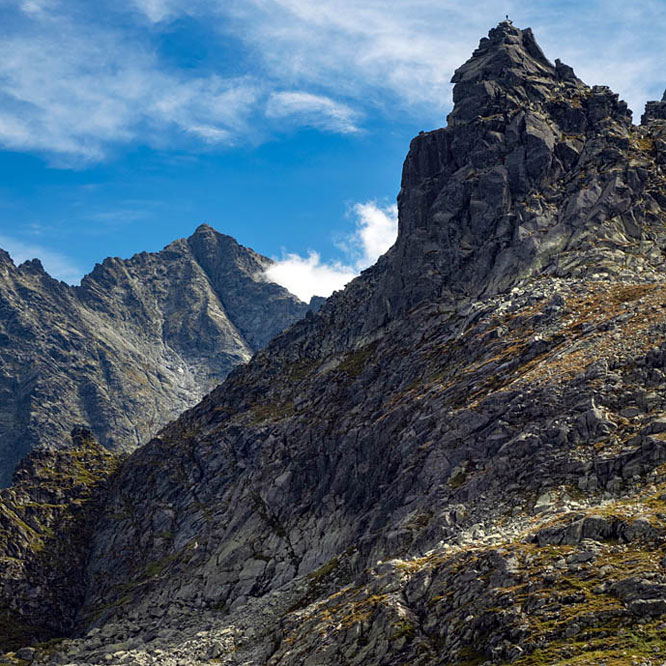
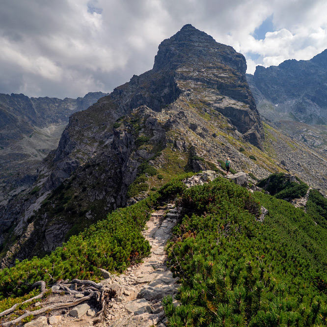
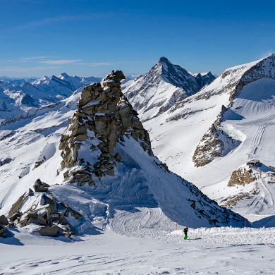
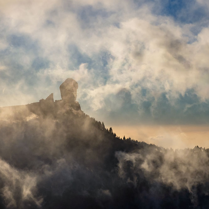
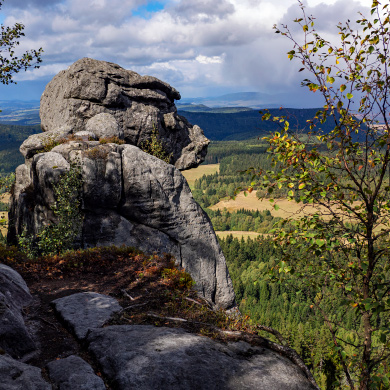
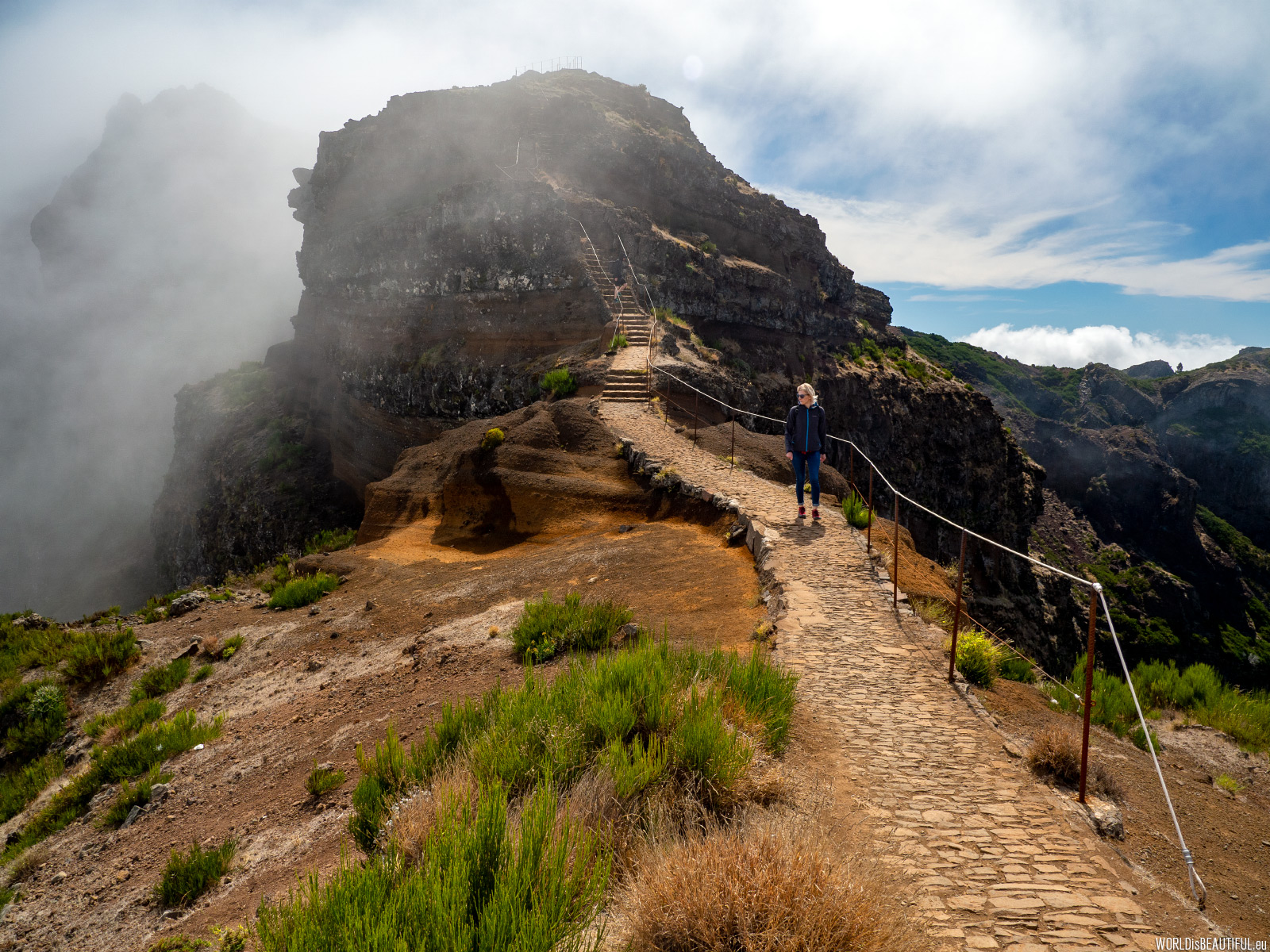
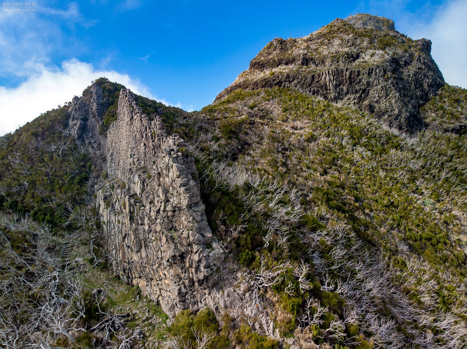
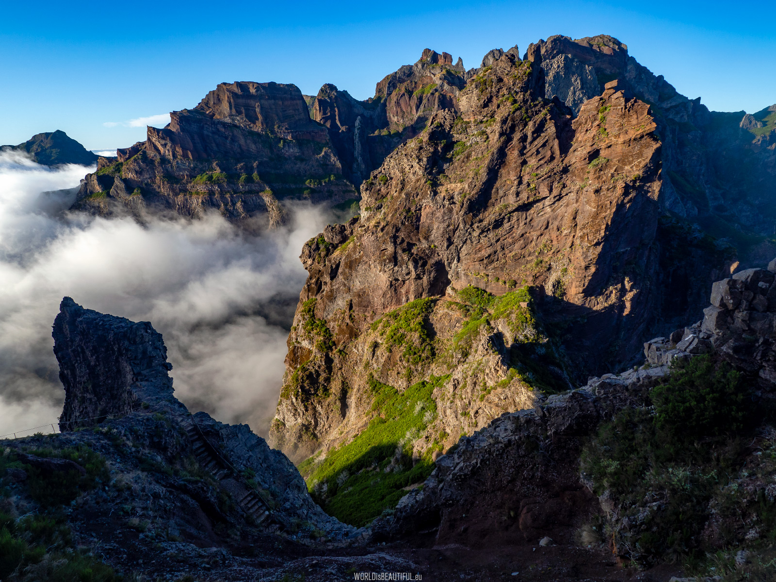
Pico Ruivo rock walls in front of us ... There will be a steep climb in a moment ...
Picture number (ID): 1497 Google Map
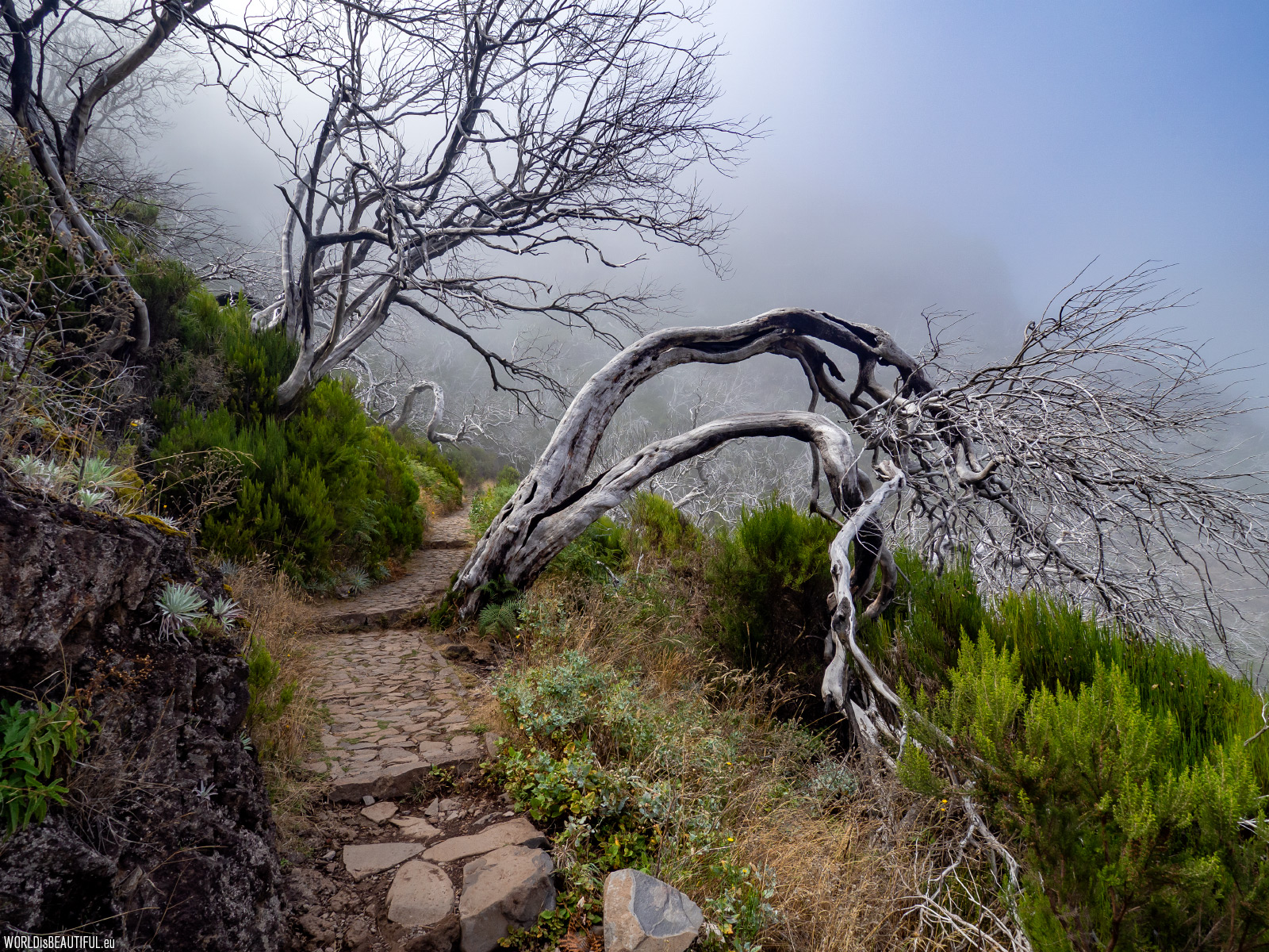
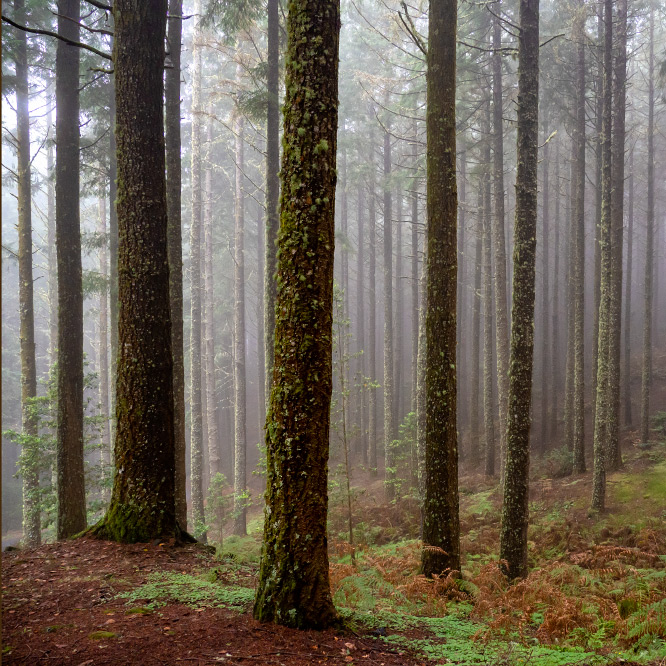
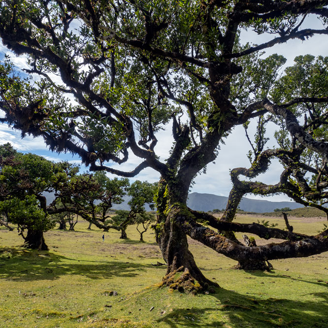
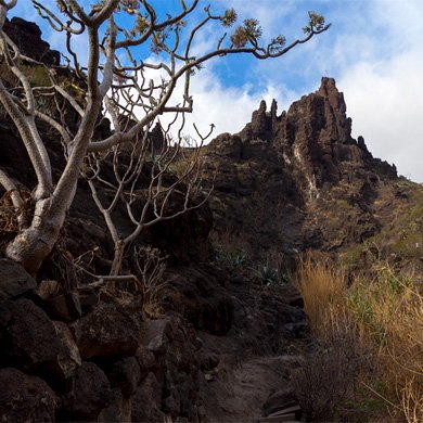
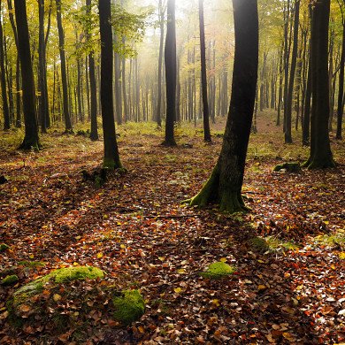
Burned forest on the slope of Pico Ruivo
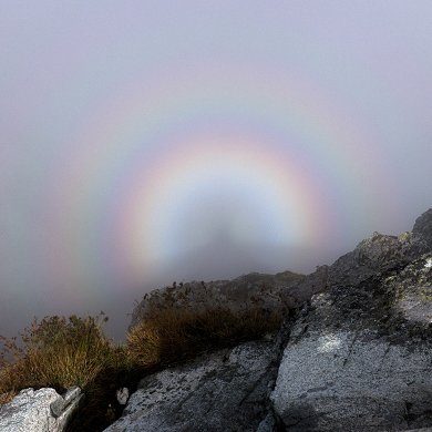
And again we entered the clouds ... Dry and twisted tree trunks appearing from the fog made a great impression on us ...
Picture number (ID): 1496 Google Map
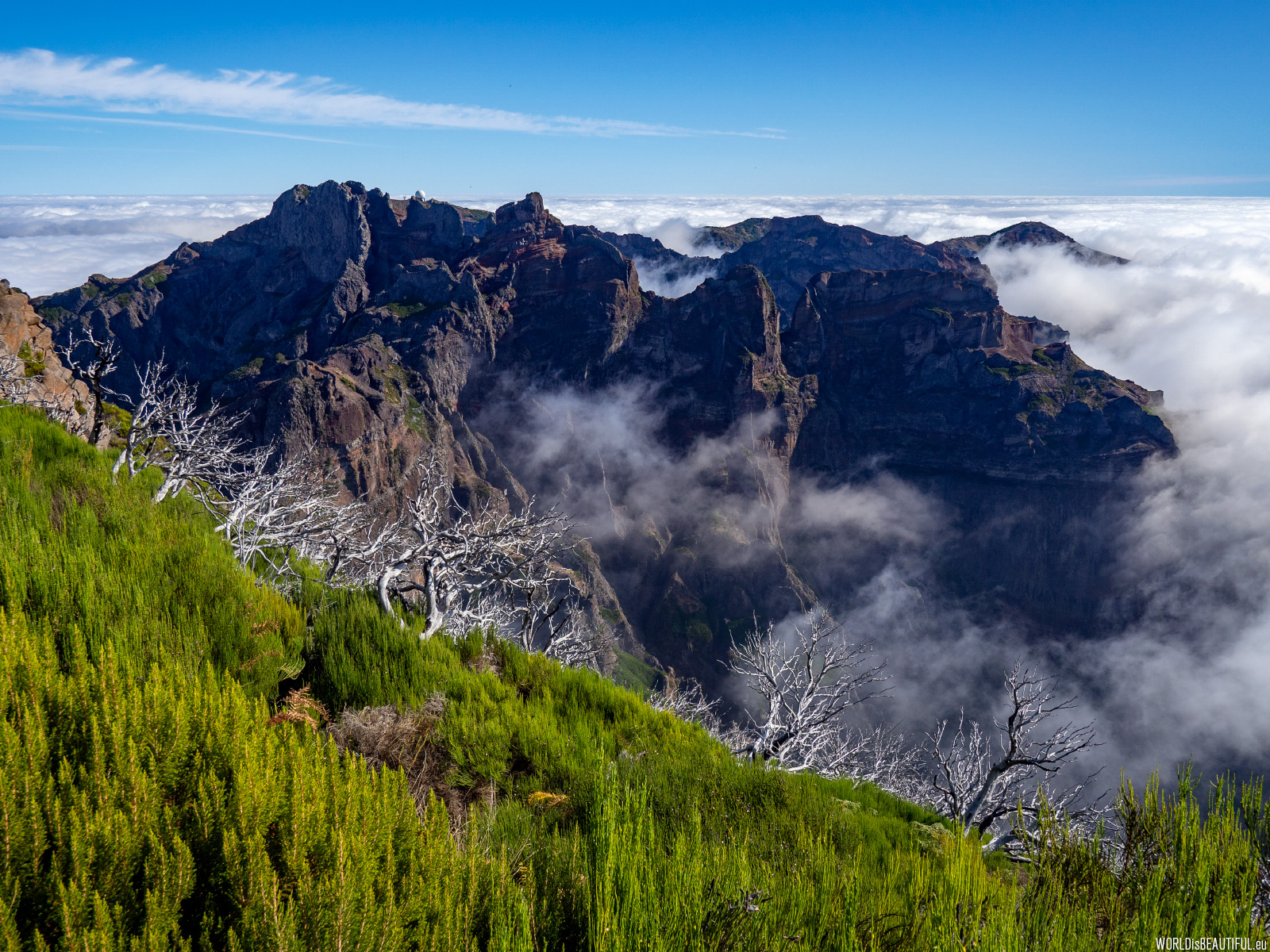
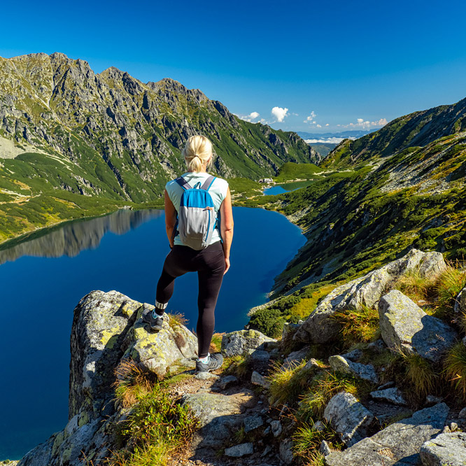
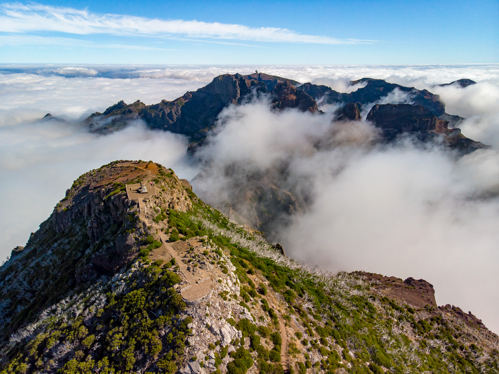
View from Pico Ruivo to the highest mountains of Madeira. There you can see a radar ball in the distance - we came from there and we will return.
Picture number (ID): 1495 Google Map

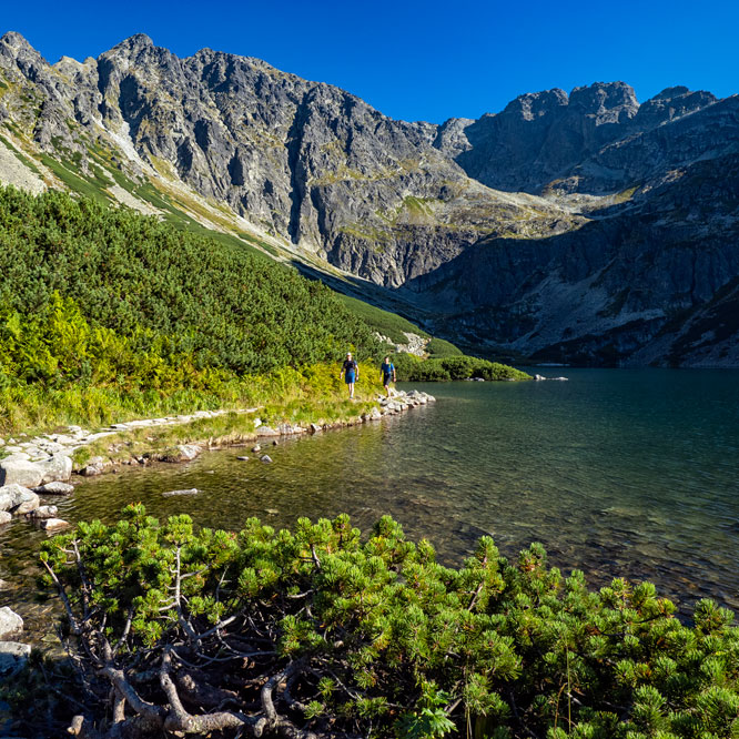
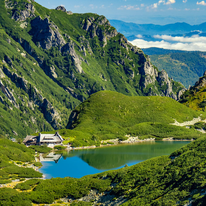
Beautifully situated mountain shelter on the slopes of Pico Ruivo. We didn't enter the shelter - we had water and food with us.
Picture number (ID): 1494 Google Map
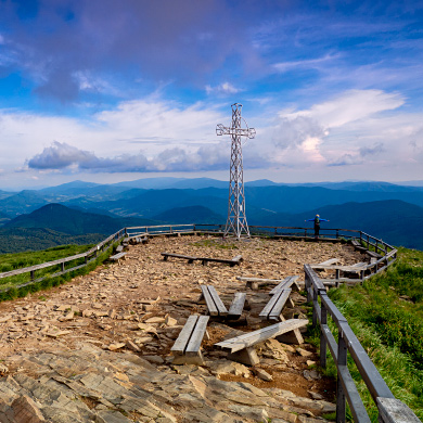
Pico Ruivo is 862 m (6,106 ft) high. Pico Ruivo is the highest peak on the Madeira Island.
Picture number (ID): 1493 Google Map
After a quick meal and rest at the top, around 5 p.m. we began to return - we have almost 3 hours of walking ahead.
Picture number (ID): 1492 Google Map
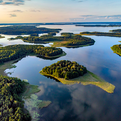
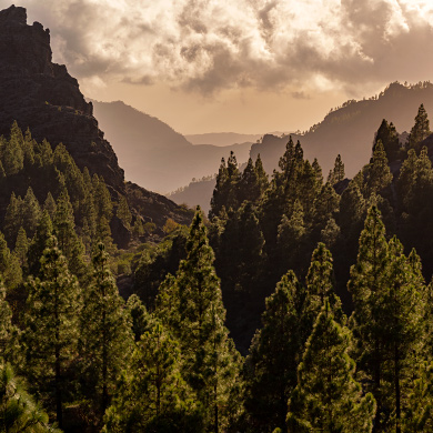
The nature and views of Madeira are stunning. There you can see amazing rock formations while trekking on mountain trails.
Picture number (ID): 2666
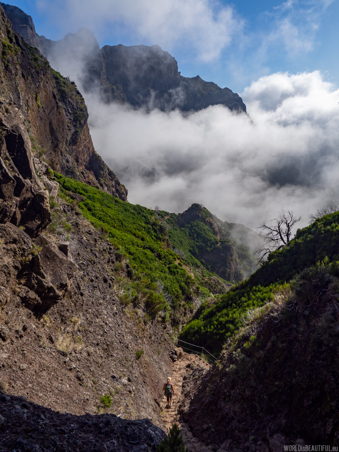
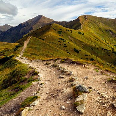
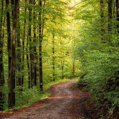
The trail is very scenic, in dangerous places the route is secured by a metal ropes.
Picture number (ID): 1490 Google Map
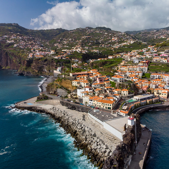
Madeira's greatest attractions
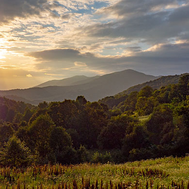
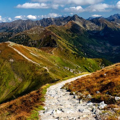
Very well prepared hiking trails and amazing mountain views - Madeira is a paradise for trekkers.
Picture number (ID): 1489 Google Map
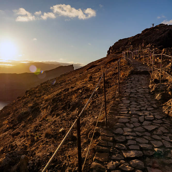
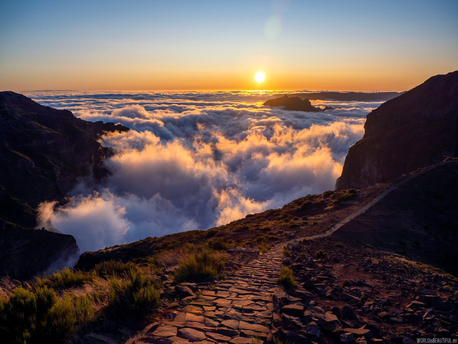
The sun is getting lower - the end of the trail is getting closer... every step more and more beautiful landscape... it's hard to stop photographing
Picture number (ID): 1488 Google Map
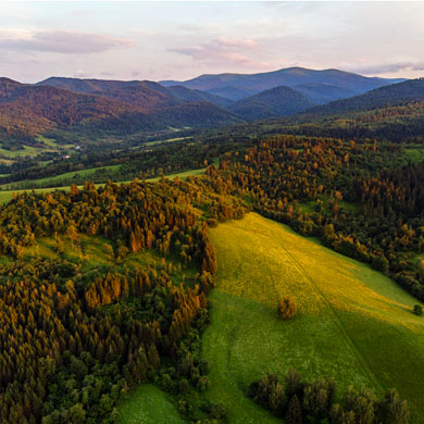
Mountain landscapes from Madeira
Classic mountain landscape from Pico do Arieiro in Madeira. This view can be seen on many postcards but it is worth going to the mountains to admire such a spectacle.
Picture number (ID): 1487 Google Map
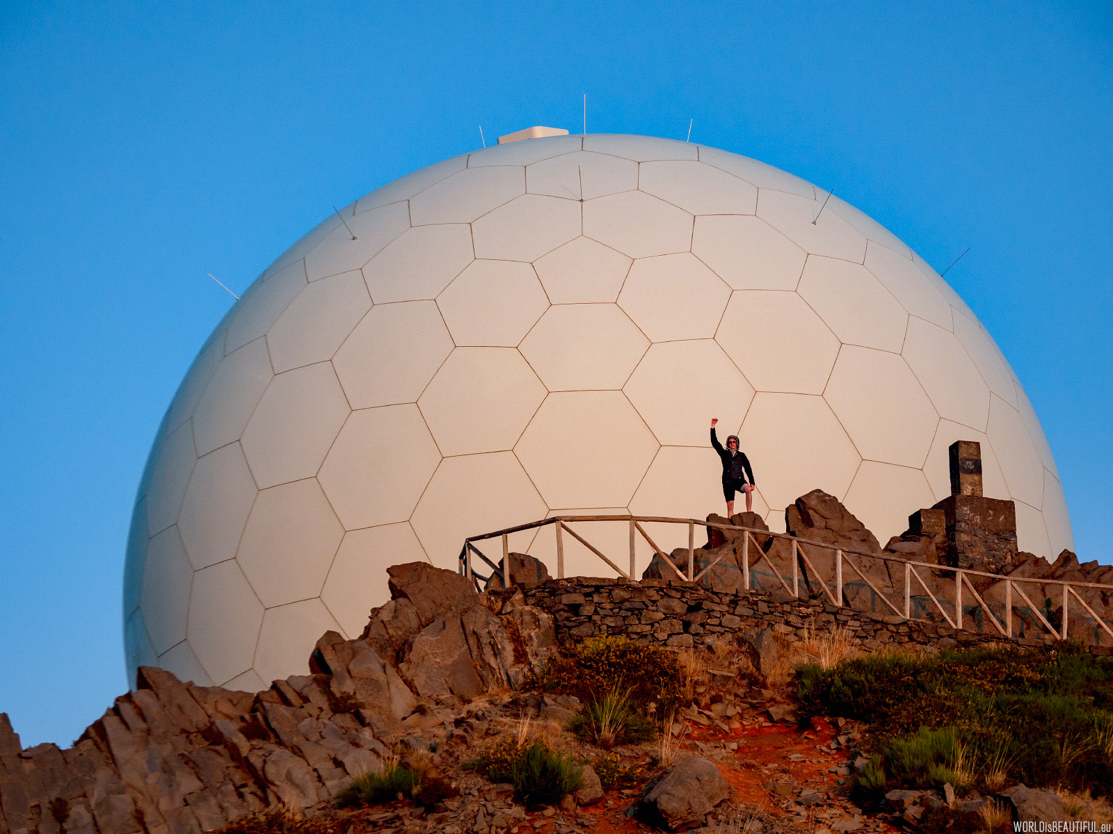
We returned to the radar at the top of Pico do Arieiro just before sunset (around 8 p.m.). The trail was quite exhausting ... We expected much lower temperatures and strong wind ... we had jackets, fleece, long pants in our backpacks ... but the trail was very hot and practically windless in many places ... it was possible that it was such a special day ... but these conditions were tiring ... Apart from that, we think that this trail is our number 1 on Madeira
Picture number (ID): 1486 Google Map
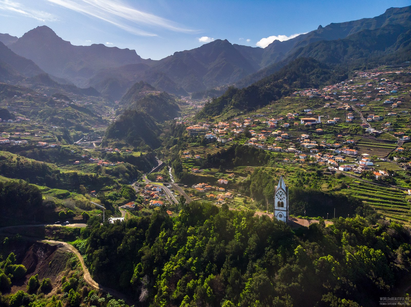
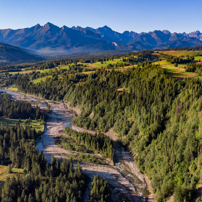
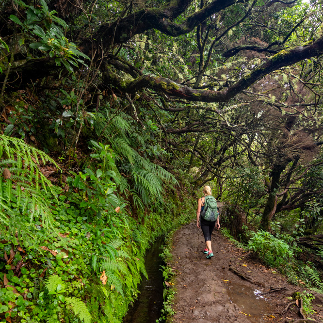
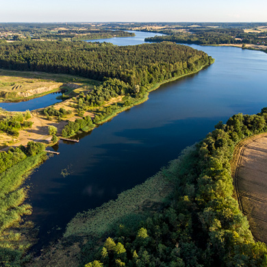
Pico Ruivo can be accessed from another side. The PR 1.3 route leads from the Miradouro da Encumeada viewpoint to the very top. It is not a short route, because it is over 11 kilometers one way, but the views are unforgettable. I marked the beginning of the route on the map. It is the lowest pass in the mountain range that can be seen on the horizon.
Picture number (ID): 2670 Google Map
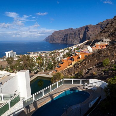
Find an apartment
We stayed here:
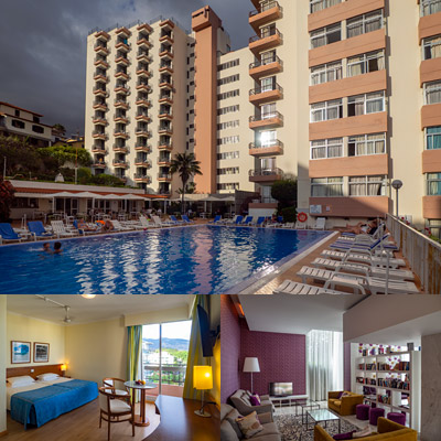
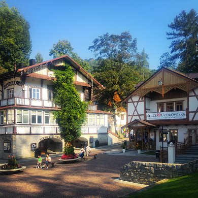
Dorisol Estrelicia Hotel, Funchal Madeira
Hotel Dorisol Estrelicia in Funchal, Madeira
R. da Casa Branca, 9004-535 Funchal, Madeira Portugalia
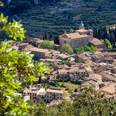
The advantage of this hotel is its location, spacious rooms with balcons, good food, car parking and Wi-Fi included in the price.
If you come to explore the island and Funchal it is a very good choice.
See other galleries: