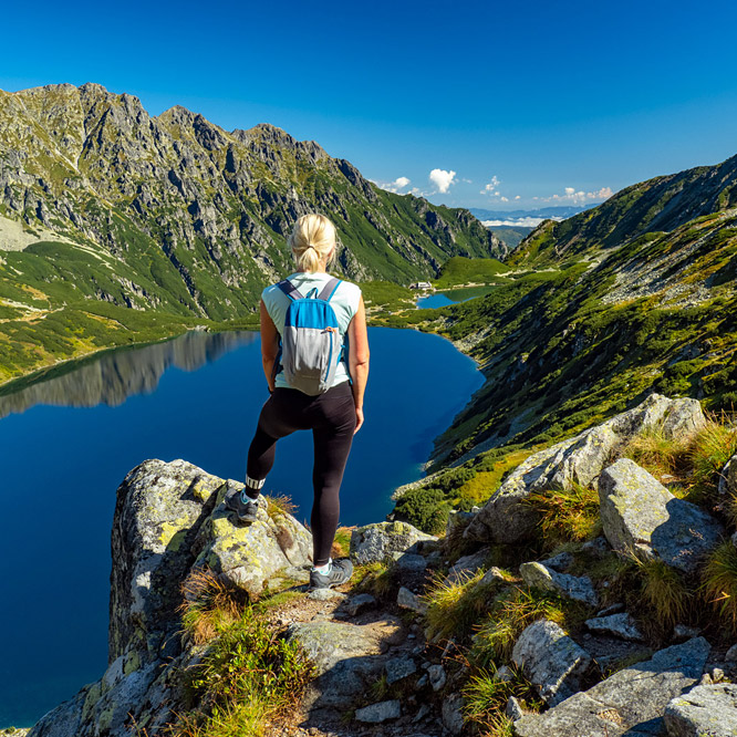
Photo Gallery » Spring in the Bieszczady Mountains
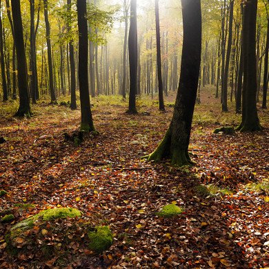
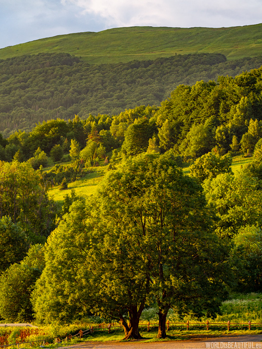
Bieszczady in the spring, or rather late spring because in the first half of June, are incredibly green - grasses, herbs, young leaves on shrubs and trees - everything is bright and fresh green. The weather in June in the Bieszczady Mountains was very changeable. It was warm - temperature above 20 degrees. Sometimes the sun was shining, sometimes it was clouded ... It was also the case that storm clouds came in a short time and heavy rain began to fall, and after a dozen or so minutes the sun again appeared.
What to see in the Bieszczady Mountains
One of the most beautiful scenic tourist routes is the route from Ustrzyki Górne (blue trail) to Wielka Rawka, from there the yellow trail to Mała Rawka, green through the hostel Bacówka PTTK Pod Small Rawka and Przełęcz Wyżniańska to Połonina Caryńska and then to Ustrzyki Górne along the red trail. The entire route is about 18-19 km, the total approaches 1119 m, the sum descend 1119 m, time around 6 and half hours.


The most interesting hiking trails in the Bieszczady Mountains
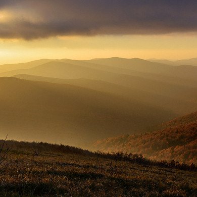
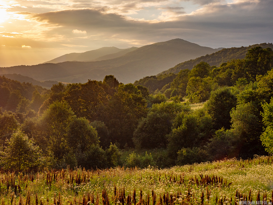
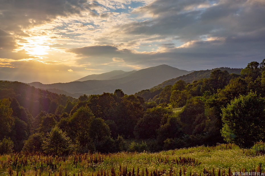
The Bieszczady Mountains at sunset are incredibly beautiful - golden light illuminates the valleys and slopes of Połonina Wetlińska. I took this picture in the evening when the sun began to shine from under the clouds for several minutes. But let's start from the beginning ...
See more routes: The most beautiful trails in the Bieszczady Mountains.
Picture number (ID): 949 Google Map
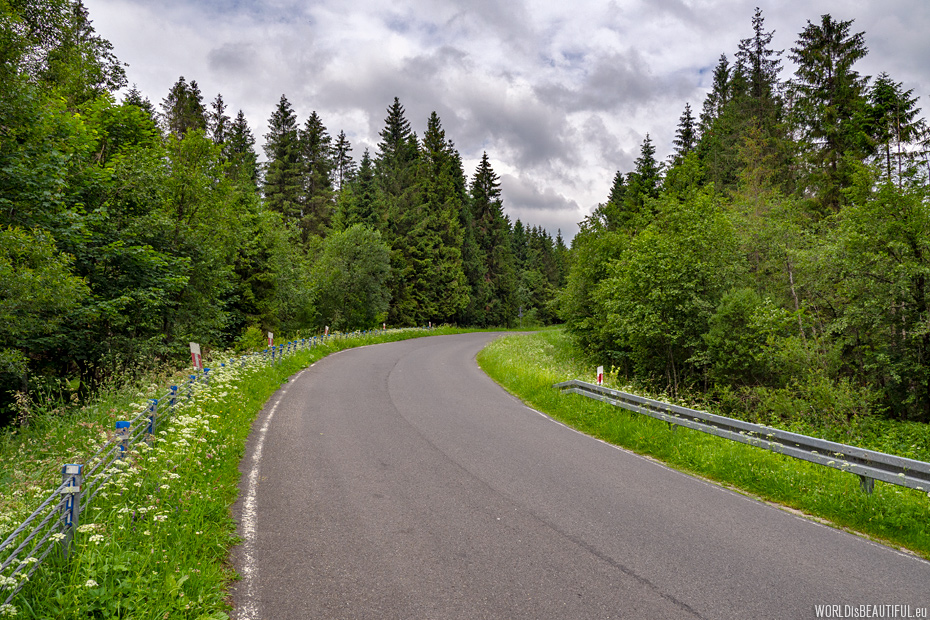
Road through the Bieszczady Mountains
We went from Ustrzyki Górne along the blue trail along the road No. 897, the so-called Big Loop of Bieszczady Mountains.
Picture number (ID): 948 Google Map
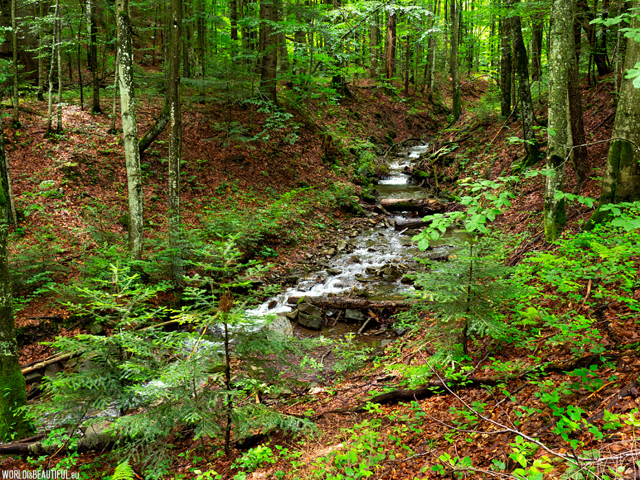
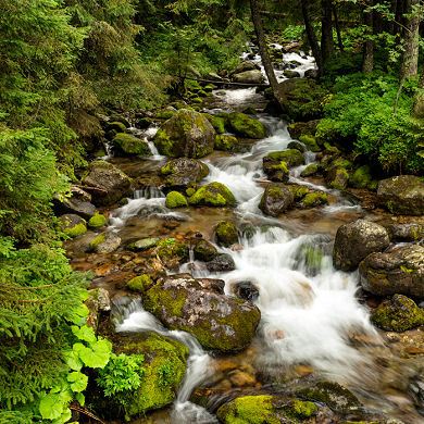
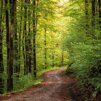
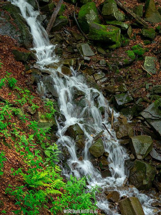
The tourist trail turns into the forest by the car park and leads along the picturesque mountain stream.
Picture number (ID): 947 Google Map
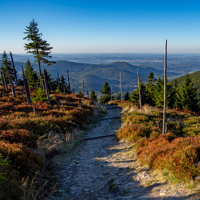
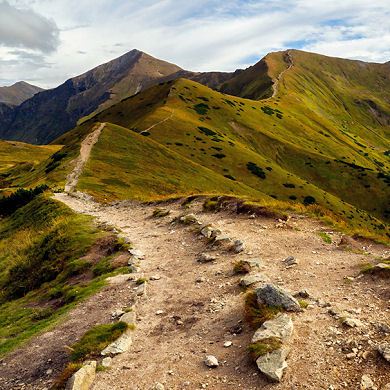
The trail from Ustrzyki to Rawka
The blue tourist trail from Ustrzyki Górne to Wielka Rawka is approximately 6 km long and the walking time is about 2 and a half hours.
Picture number (ID): 946 Google Map

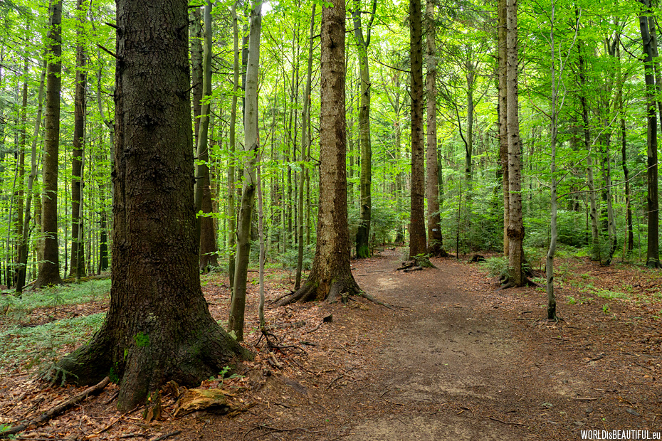
The trail leads through the beech forest. The trail is not difficult, but it gets steeper every minute.
Picture number (ID): 945 Google Map
We went to the top of the mountain and rested for a while. The time of trekking from Ustrzyki Górne to this place is about two hours.
Picture number (ID): 944 Google Map
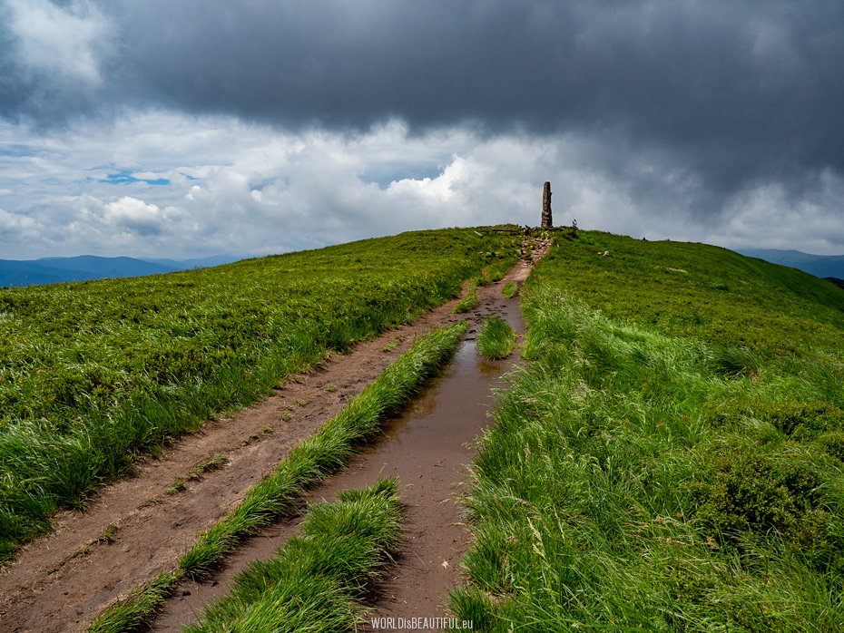
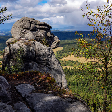
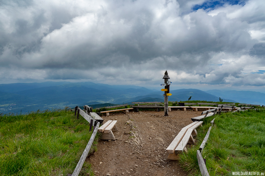
The yellow trail leads along the ridge of Wielka Rawka towards Mała Rawka. Wielka Rawka is the highest peak of the border band in the Western Bieszczady. A concrete pillar stands in the vicinity of the summit - it looks like an obelisk from another world.
Picture number (ID): 943 Google Map
The Moczarne Valley, Bieszczady Poland
The weather of the day was very changeable. Clouds quickly moved across the sky. There you can see the Moczarne Valley from the Wielka Rawka slope in the picture.
Picture number (ID): 942 Google Map
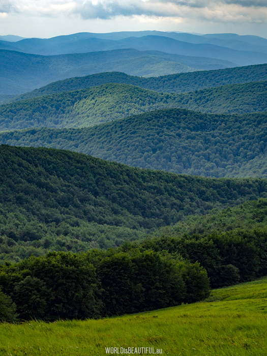
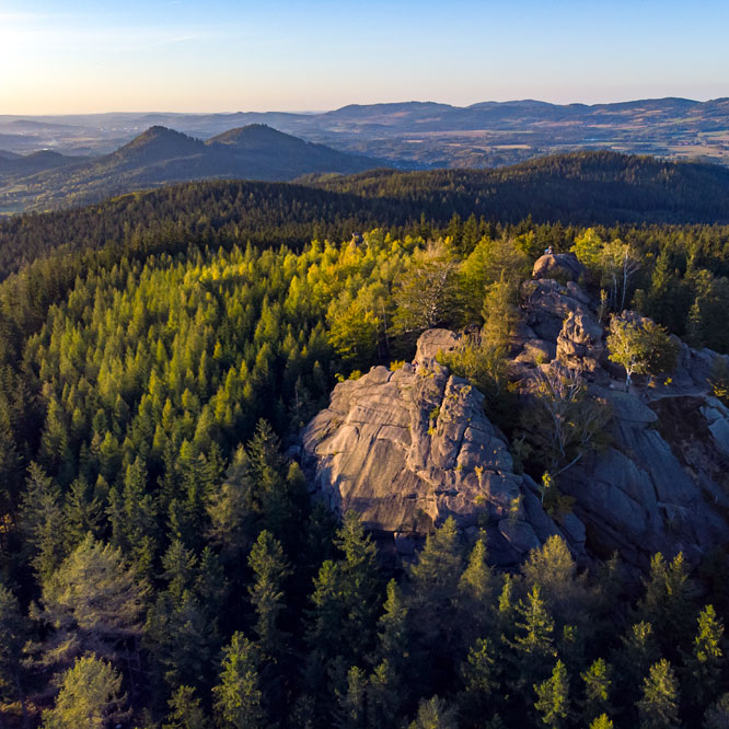
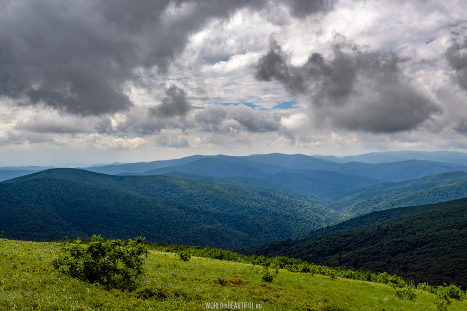
Peaks in the Bieszczady Mountains
The picture taken from near the summit of Mała Rawka - I am always fascinated by this view!
Picture number (ID): 941 Google Map
The Prowcza stream in the Bieszczady Mountains flows from the slopes of Mała Rawka and flows into San as Dwernik river.
Picture number (ID): 940

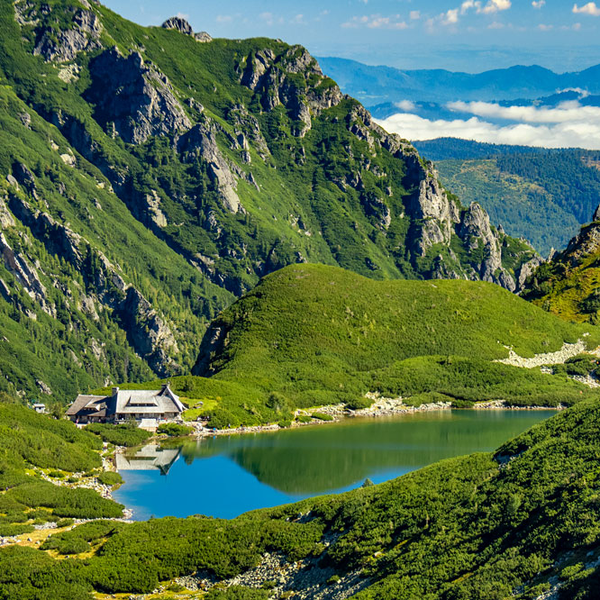
Mountain shelter - Bacowka PTTK Mała Rawka
Mountain hut Bacówka PTTK Pod Mała Rawka - my associations are: pancakes with blueberries (I recommend it!) and cats - every time I am there I see a beautiful cat.
Picture number (ID): 939 Google Map
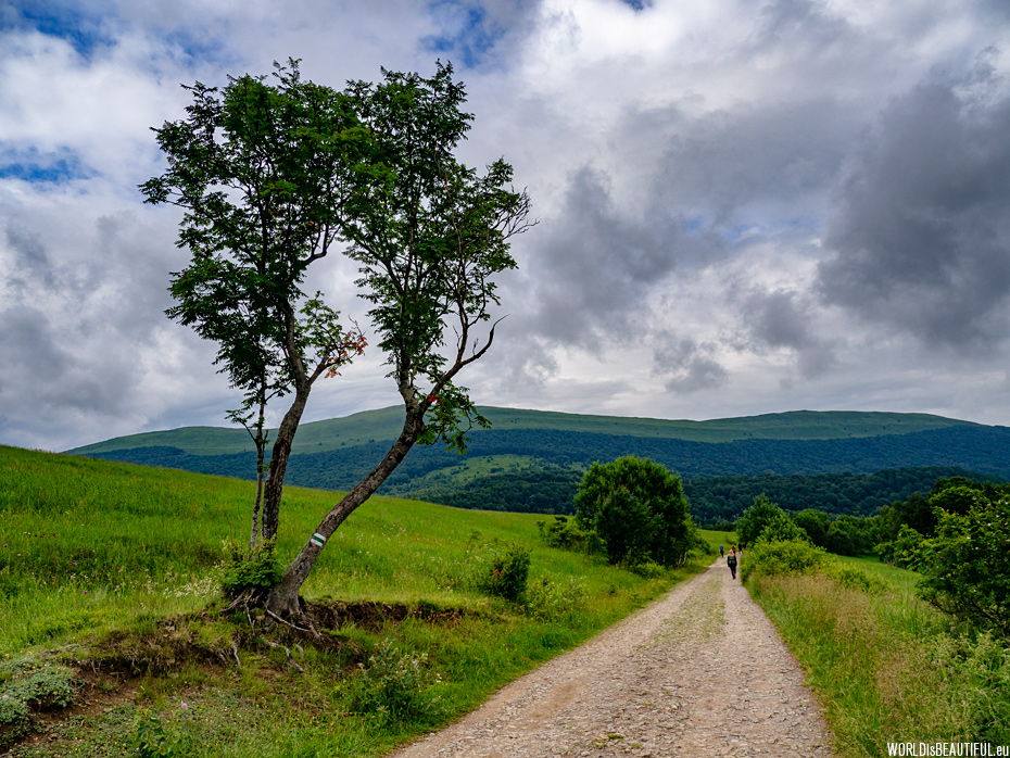
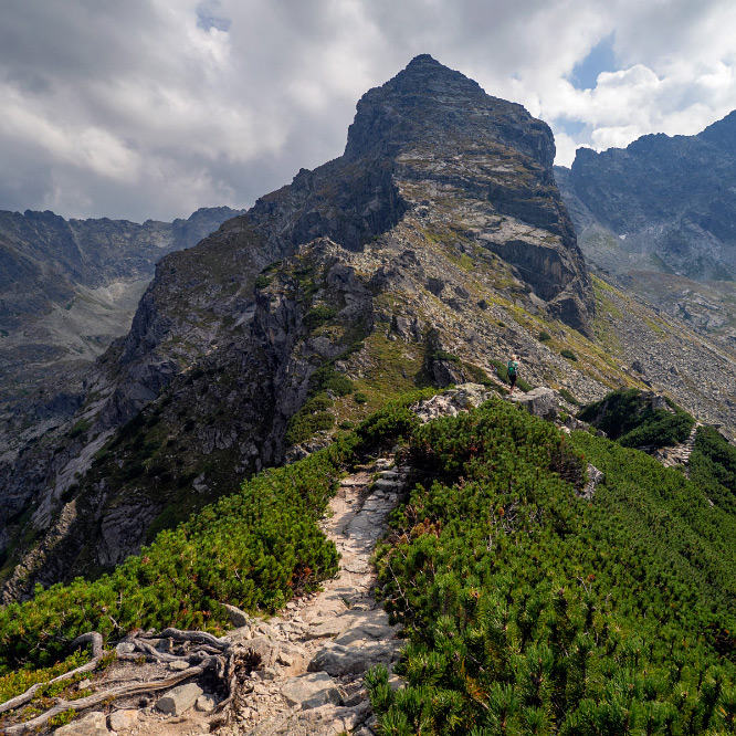
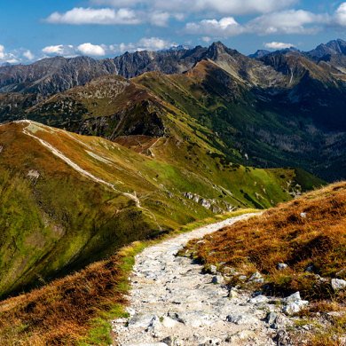
Trail towards the Wyżniańska Pass 855 m and rowan at the trail. You can see Połonina Caryńska in the distance.
Picture number (ID): 938 Google Map
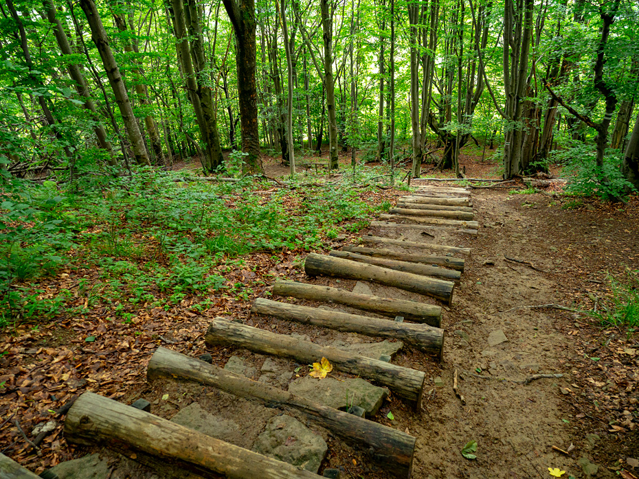
A green tourist route to Polinaina Carynska
Spring fresh green in the forest. Green trekking trail to Połonina Caryńska in the photo.
Picture number (ID): 937 Google Map
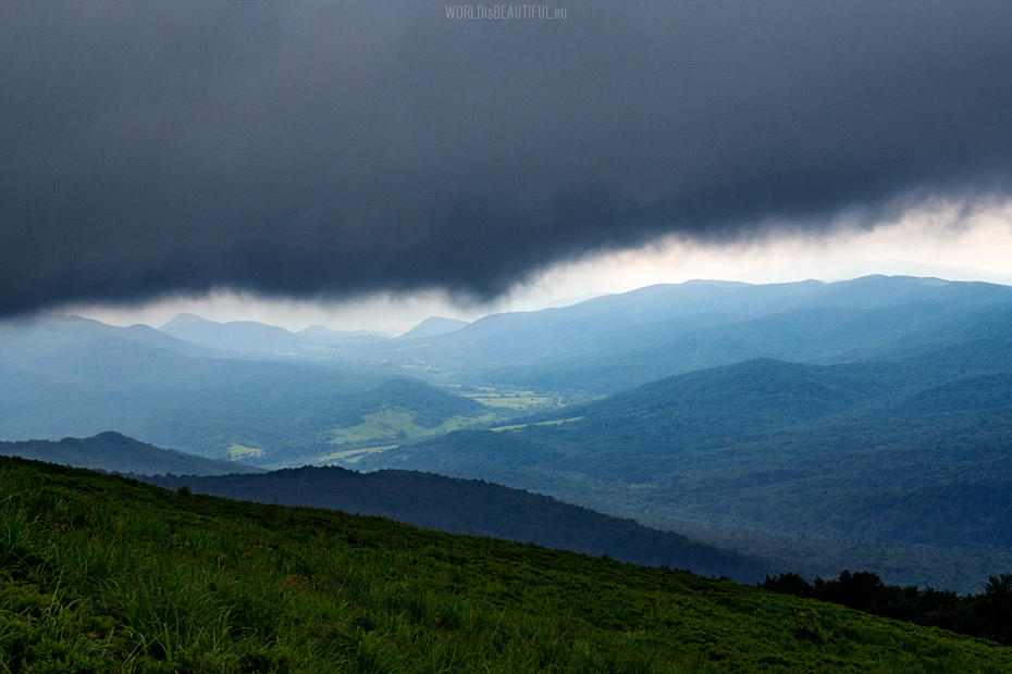
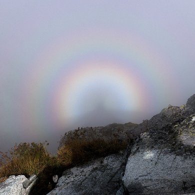
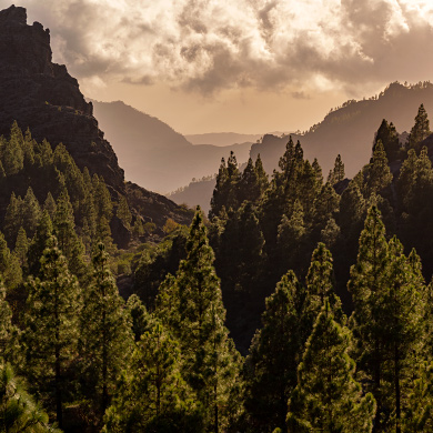
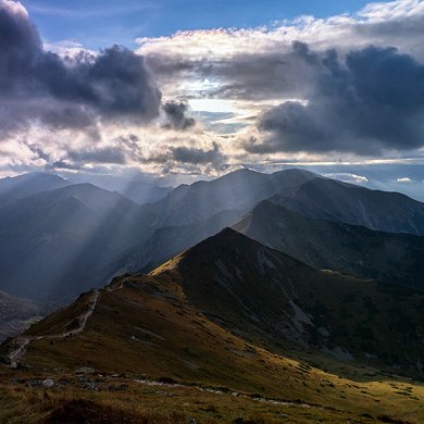
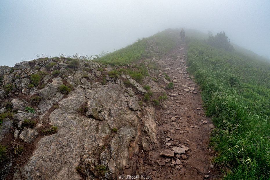
Storm in the Bieszczady Mountains
The spring storm quickly came over the mountains. It got dark and cold. The clouds were so low that it seemed we could touch them.
Picture number (ID): 936 Google Map
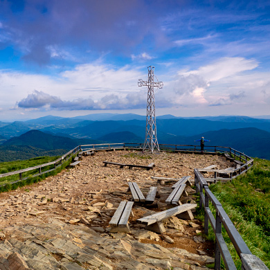
We set off towards one of the peaks on Połonina Caryńska (1297 m). Unfortunately the clouds were so low that nothing could be seen.
Picture number (ID): 935 Google Map
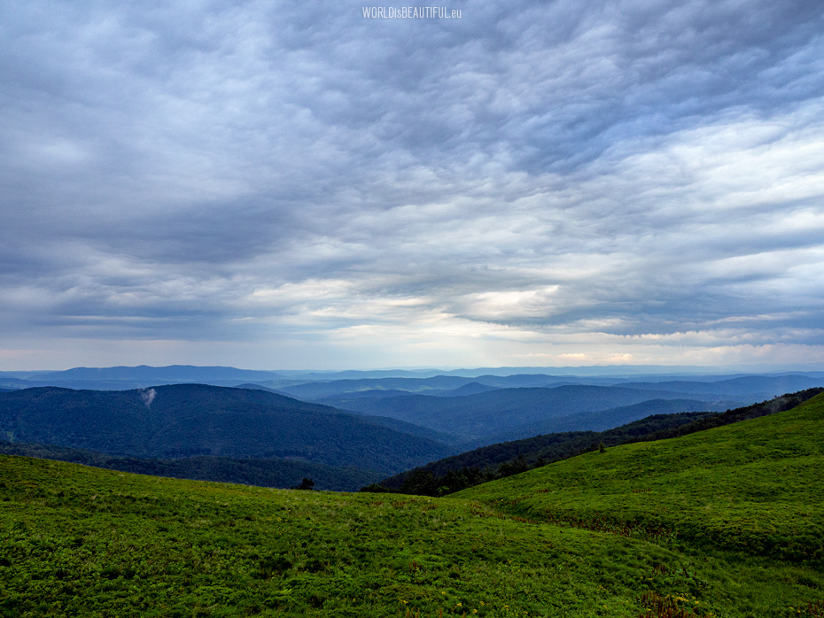
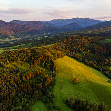
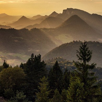
A spring mountain landscape seen from the red trail leading through Połonin Caryńska.
Picture number (ID): 934 Google Map
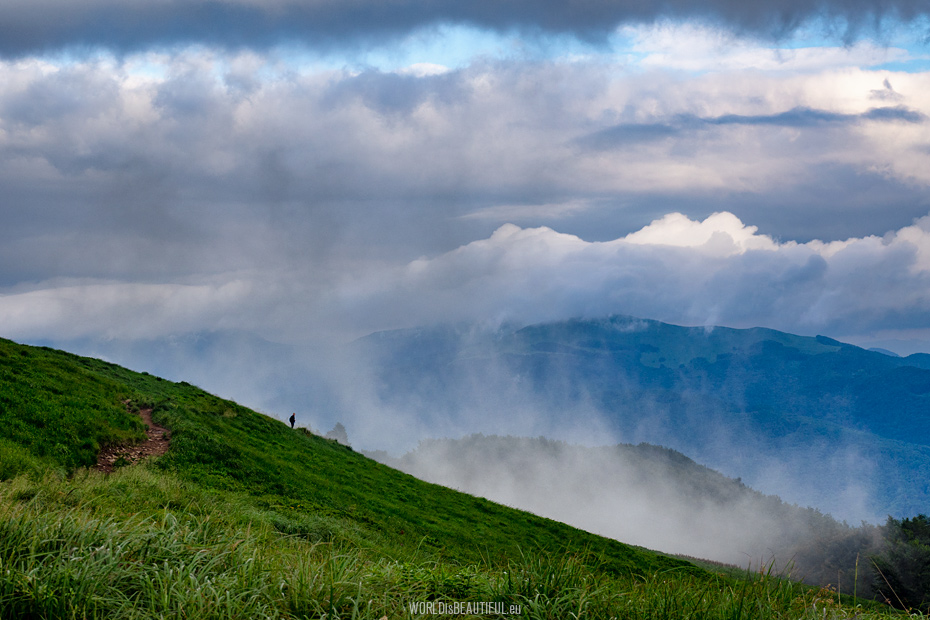
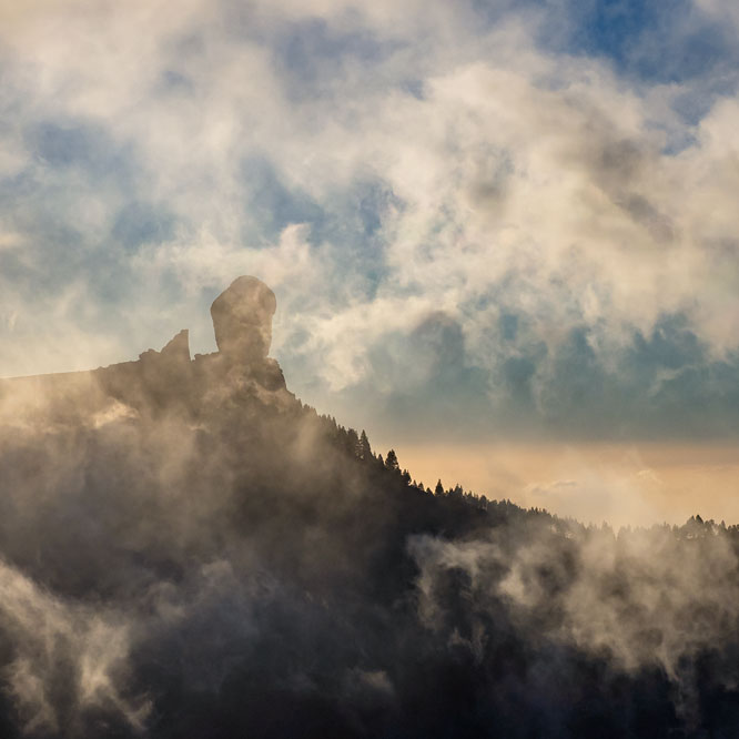
Bieszczady mountains after rain
It started raining during our trekking to Ustrzyki Górne but after several minutes it stopped and we witnessed an amazing spectacle. The mountains were steaming and the fog was rising from the forests. There is the Tarnica range in the photo in the background.
Picture number (ID): 933 Google Map
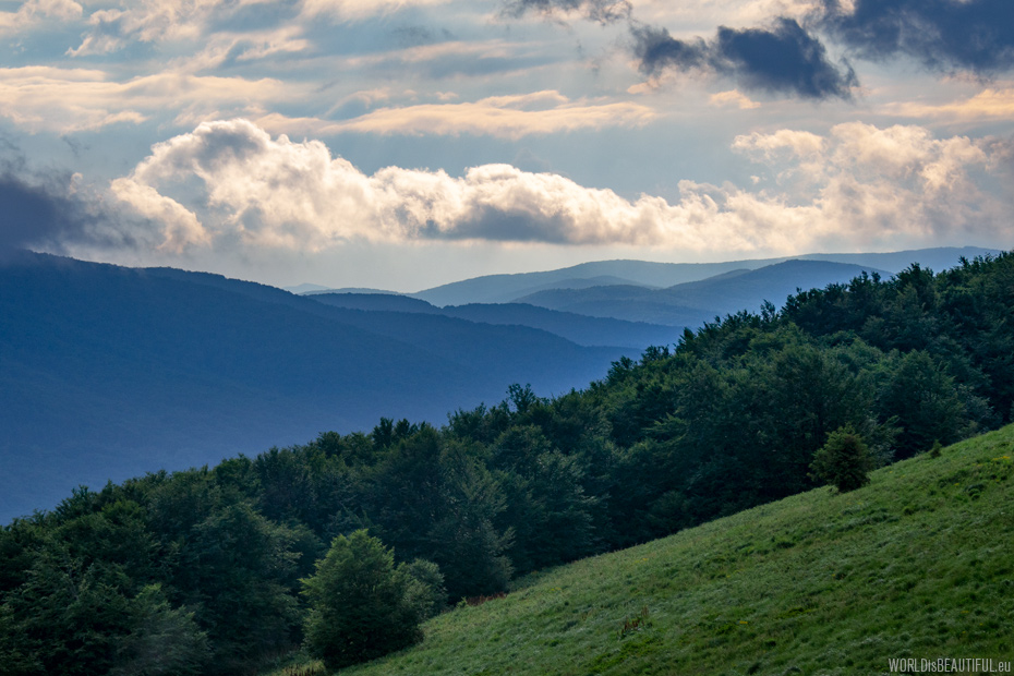
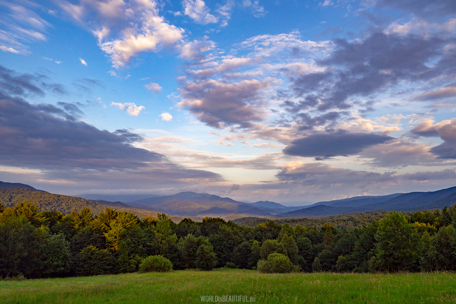
Change of weather in the mountains
Fast and frequent changes in the weather in the mountains are something that you should prepare yourself on a tour that will take all day. We always have fleece, jackets and plastic raincoats with us. The weather changed again in the evening and the sun appeared in the west.
Picture number (ID): 932 Google Map
Interesting places in the Bieszczady
Parking on the Wyżniańska Pass is one of the places where it is easy to get to admire the sunset in the Bieszczady Mountains. You can see the beautiful panorama of Połonina Wetlińska from there.
Picture number (ID): 931 Google Map
Bieszczady Landscapes, Połonina Caryńska
Spring mountain scenery - view from the parking lot on the Wyżniańska Pass to Połonina Caryńska at sunset.
Picture number (ID): 930 Google Map
The highest peak of the Bieszczady Mountains
There you can see the highest peak of Bieszczady in the distance belonging to the Crown of Polish Mountains - Tarnica with a height of 1346 m. I made a panorama photo of the Bieszczady from the tourist trail near the car park at Wyżniańska Pass.
Picture number (ID): 929 Google Map
Find an apartment
We stayed here:
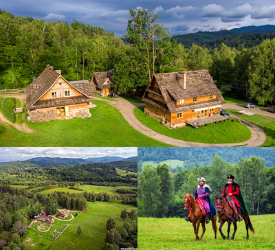
Guesthouse U Prezesa, Bieszczady Mountains
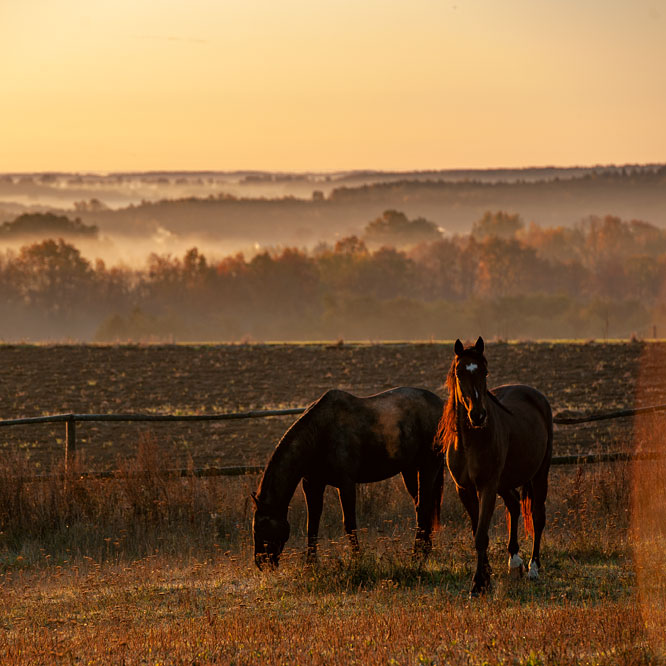
An agrotouristic farm (rural guesthouse) and a center of horse tourism in the Bieszczady Mountains
Chmiel 28, 38-713 Lutowiska, Poland
People with passion, great place, nice rooms, very good food!
If you like mountains, wild nature and horse riding - you must come here!
See other galleries: