Photo Gallery » Skiing in Mayrhofen
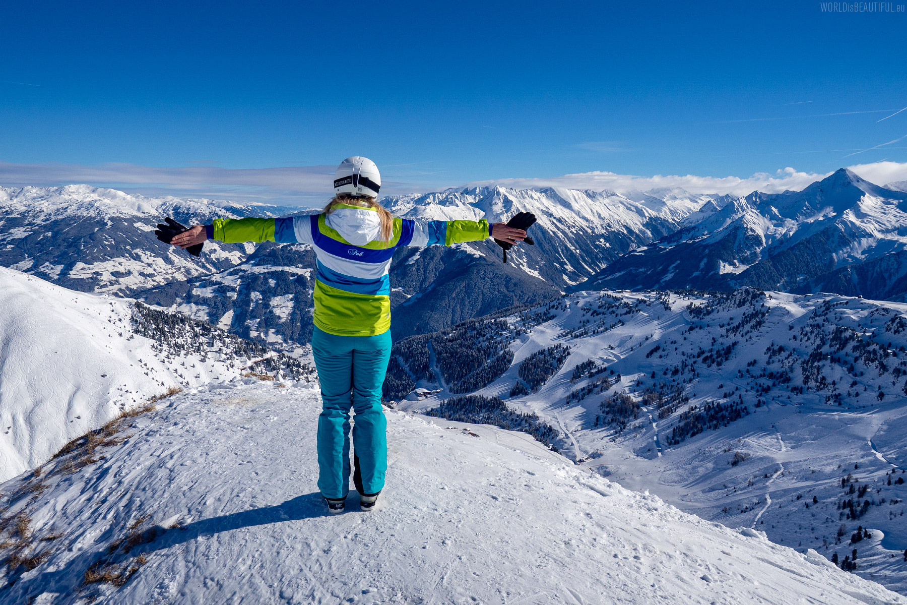
Ski trip to the Zillertal valley in Austria. This time we went skiing around Mayrhofen - in the ski resorts of Penken and Rastkogel. Great routes, fresh snow and the sun shone. The Tyrolean Alps are high, steep and really beautiful mountains. Amazing alpine views!


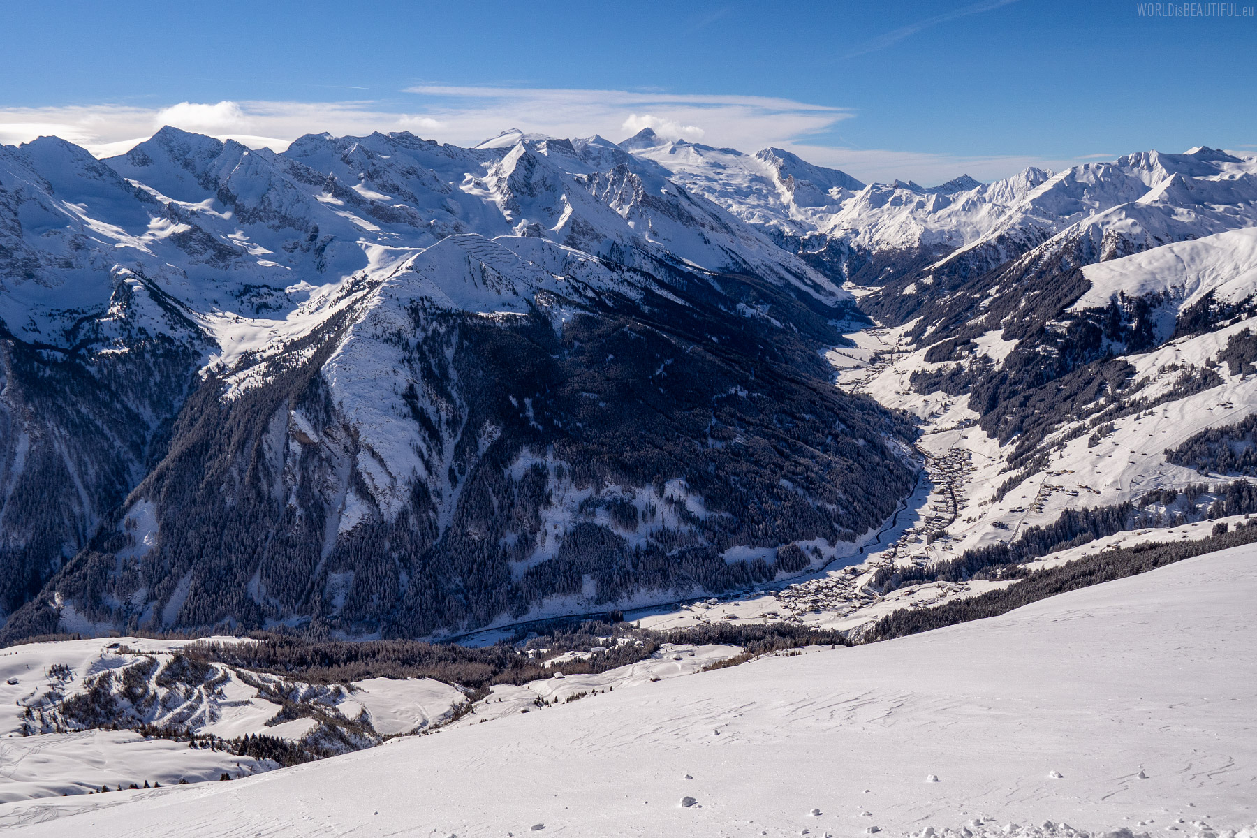
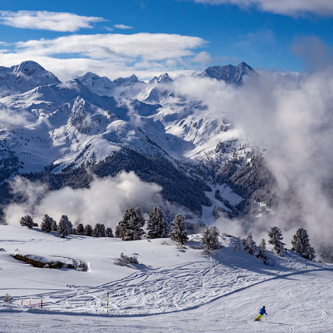
This day began with a beautiful sunrise. After the first two days of skiing in the clouds, suddenly our eyes showed such a view.
Picture number (ID): 1222 Google Map
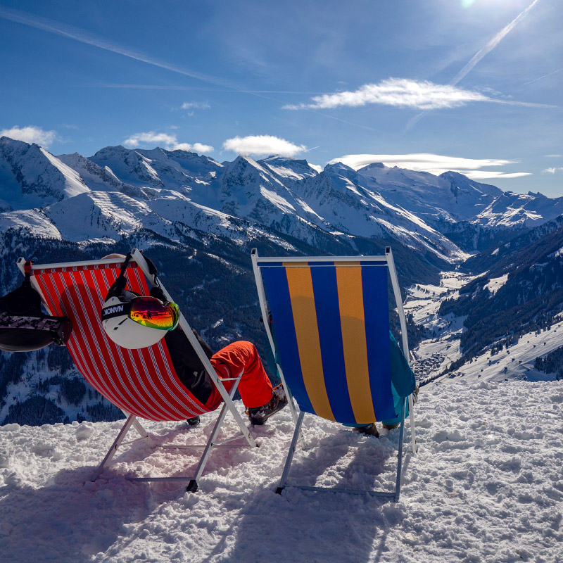
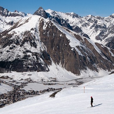
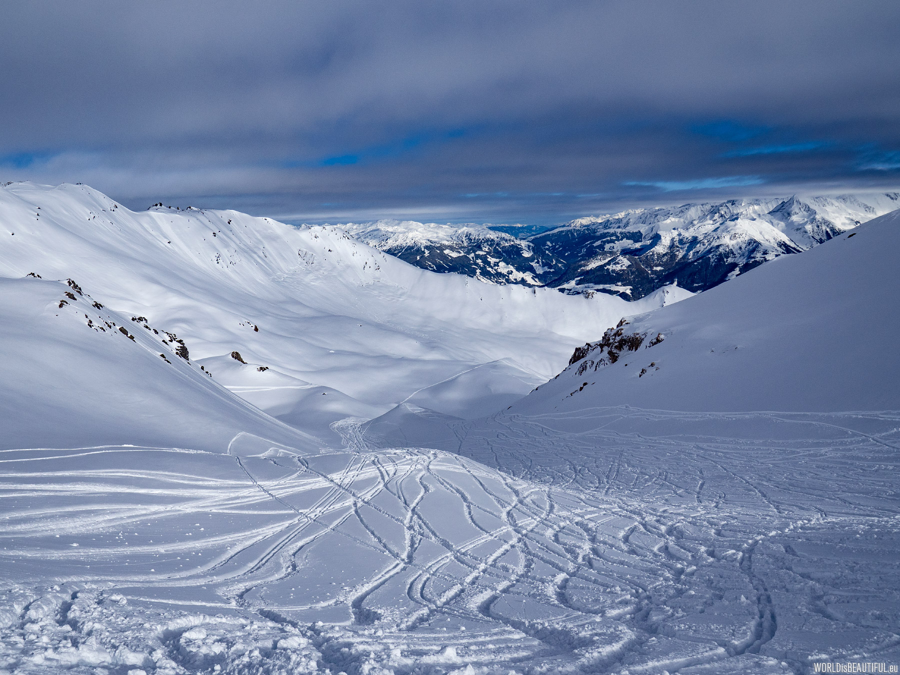
Clear sky, sun and mountains ... Views from the ski slopes are amazing!
Picture number (ID): 1221 Google Map

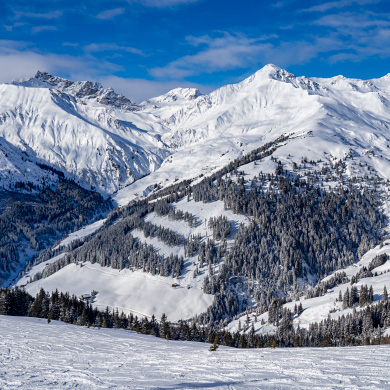
Harakiri the steepest ski run in Austria
There you can see the black route No. 34 with the charming name: Harakiri in the middle of the photo. Harakiri - is the steepest ski route in Austria.
Picture number (ID): 1220 Google Map
One of the steepest ski slopes in the world - the black Harakiri route in Mayrhofen with a slope of 78 percent.
Picture number (ID): 1236 Google Map
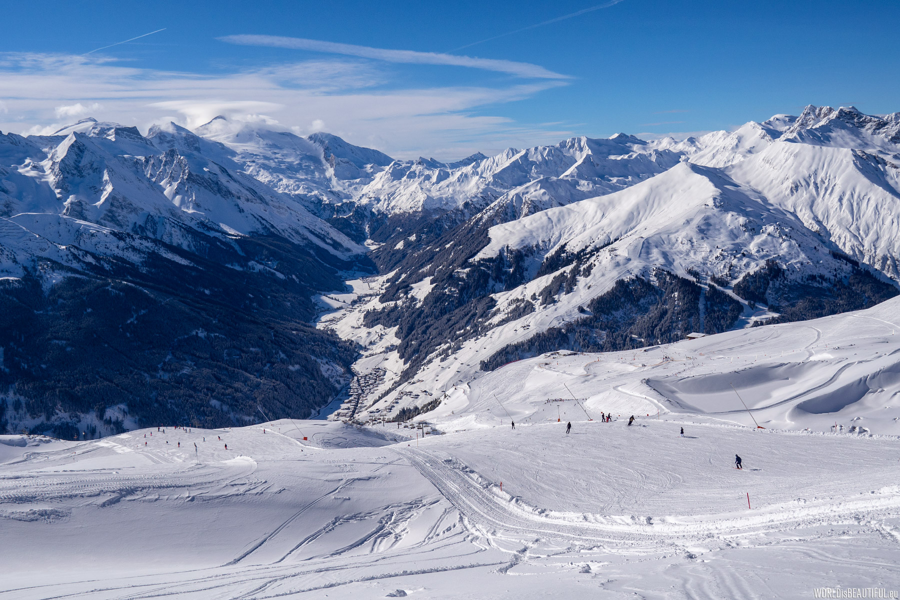
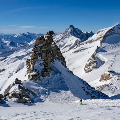
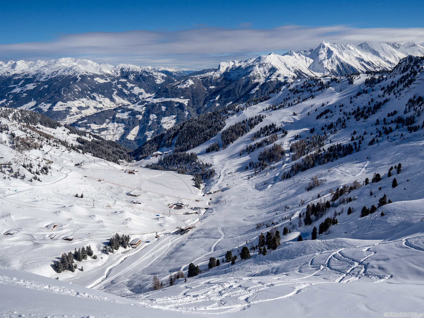
View from the Penken Ski Resort to the deep valley of the Hintertux Glacier. The peak in the cloud is Olperer (3476 m). There is the Hintertux Glacier at this summit.
Picture number (ID): 1219 Google Map
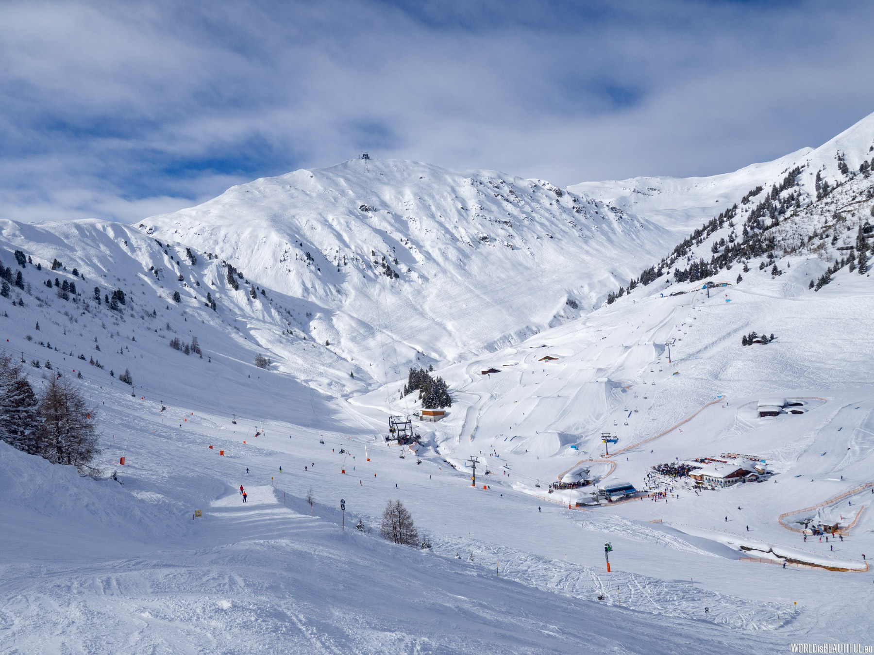
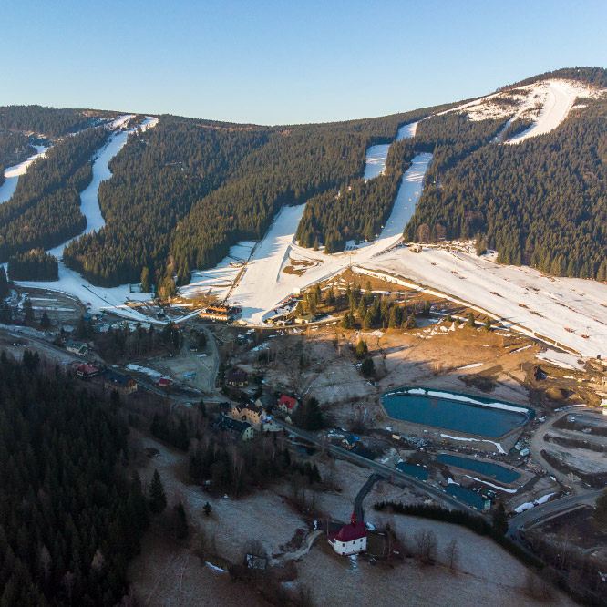
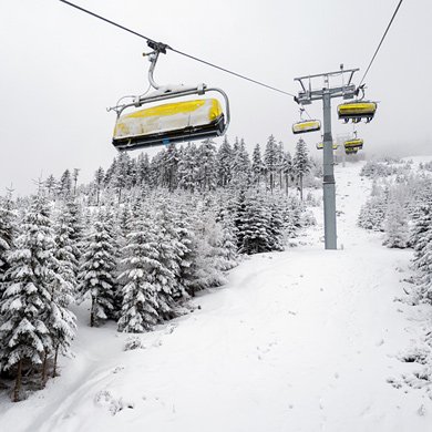
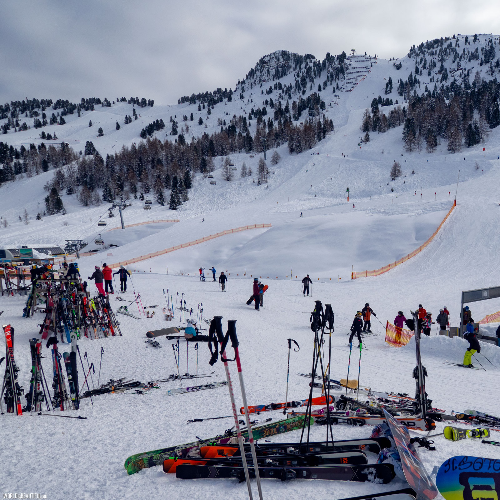
The Penken ski resort near Mayrhofen - slopes, ski lifts, bars, very good pizza :-) a cool place!
Picture number (ID): 1217 Google Map
The total length of the ski runs is 139 km, including: 40 km blue, 66 km red, 33 km black and Harakiri - you can ski!
Picture number (ID): 1216 Google Map
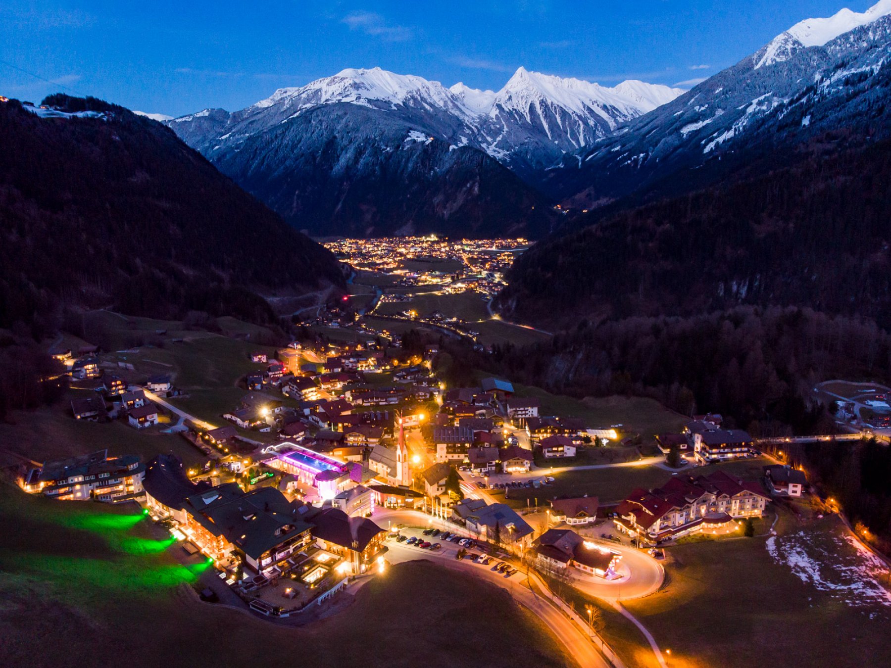
Mayrhofen in the Ziller Valley
Evening in the Ziller Valley - view of Finkenberg and Mayrhofen in the distance.
Picture number (ID): 1709 Google Map
Find an apartment
See other galleries: