Photo Gallery » Under the Tatra Mountains
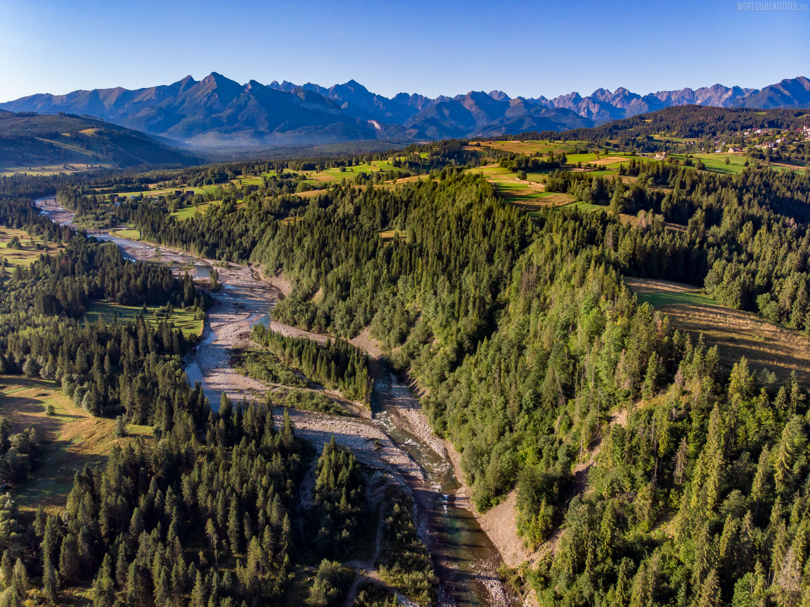
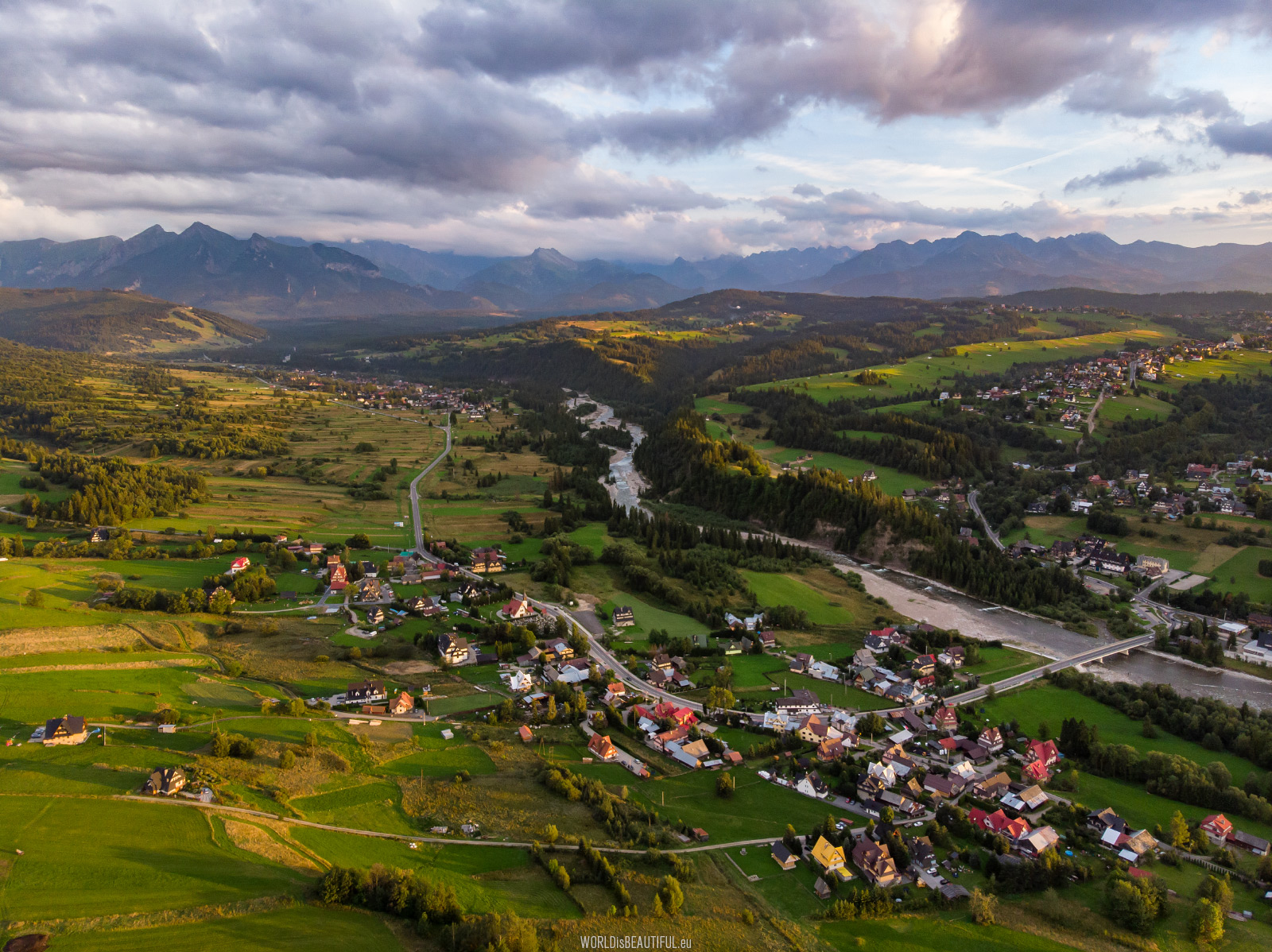
Białka is a river about 40 km long. It flows out of the Tatra Mountains and connects to the Dunajec in Czorsztyn Lake. It flows through the villages: Jurgów, Bukowina Tatrzańska, Czarna Góra, Białka Tatrzańska, Krempachy, Dębno, Frydman and Nowa Biała.
Picture number (ID): 1446 Google Map
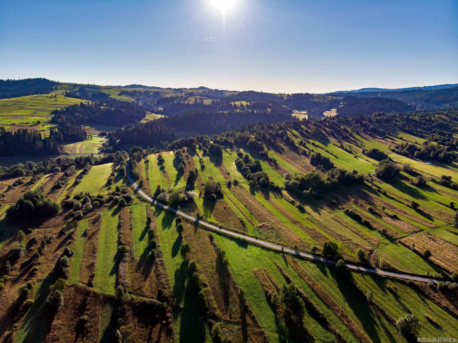
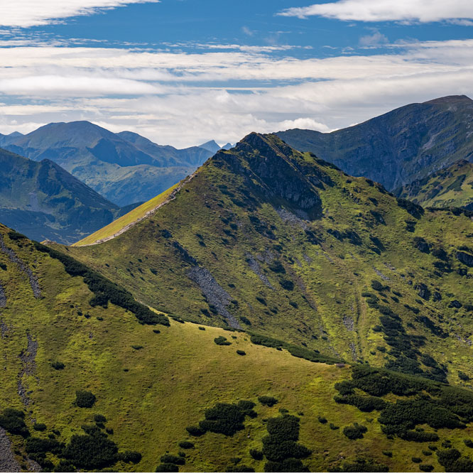
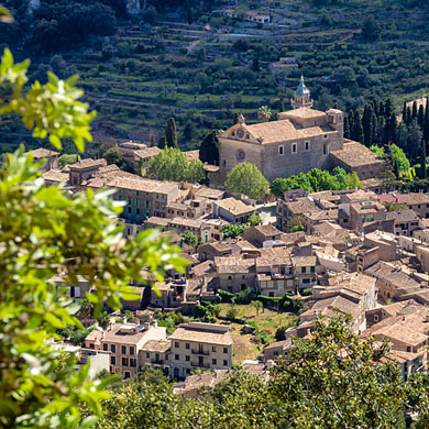
Spisko-Gubałowski Highlands (Pogórze Spisko-Gubałowskie) - picturesque lowering of the area between the Tatras and the Pieniny. Wandering these low hills you can admire the panorama of the Tatras, Gorce and Pieniny.
Picture number (ID): 1441 Google Map Photo Sphere
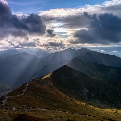
Panorama of the Tatra Mountains from Łapszanka
Panorama of the Tatra Mountains illuminated by the rays of the setting sun.
Picture number (ID): 1442 Google Map
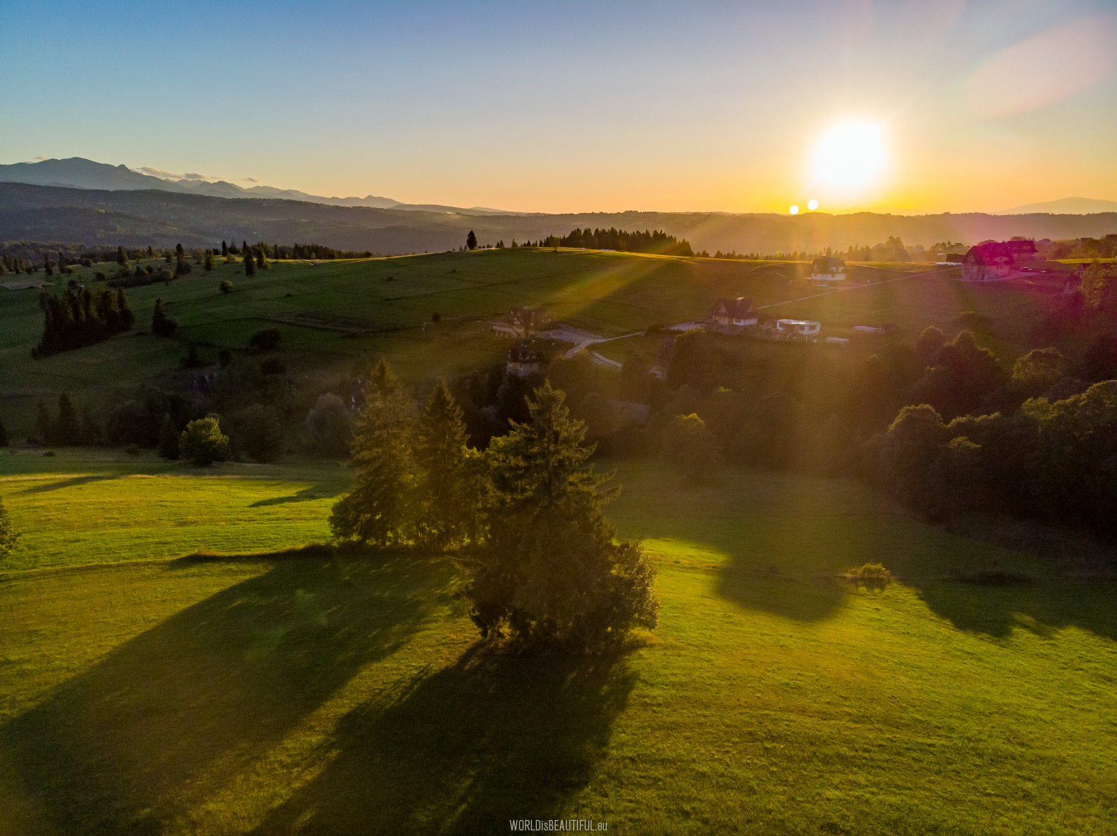
Picturesque sunset in the vicinity of Łapszanka in the Spiskie Foothills under the Tatra Mountains.
Picture number (ID): 1438 Google Map
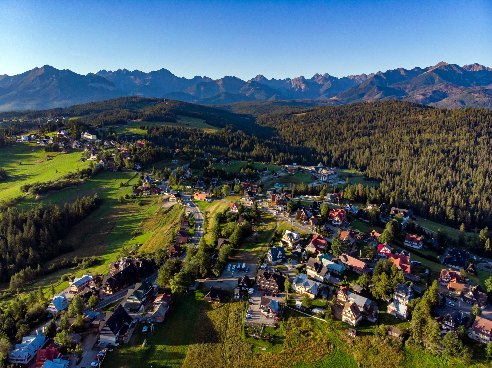
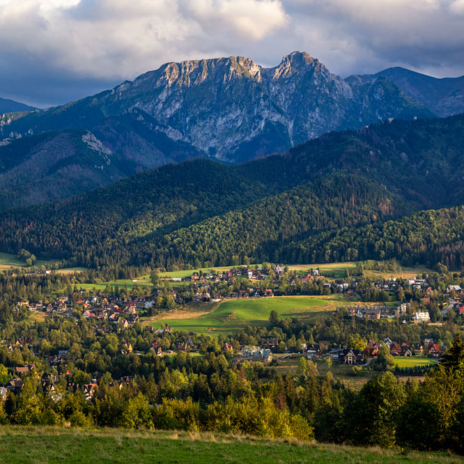
View of the Tatra Mountains from Bukowina Tatrzańska
Sunny summer morning in Bukowina Tatrzańska and a panorama of the Tatra Mountains. There is Gerlach in the photo center and to the right of him: Konczyca, Porch, Wysoka and Rysy.
Picture number (ID): 1439 Google Map Photo Sphere
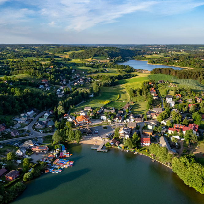
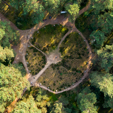
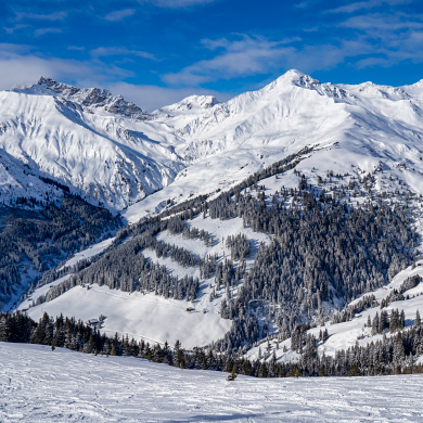
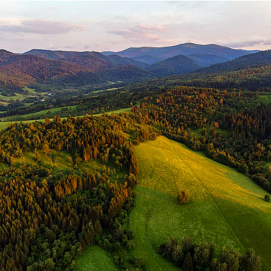
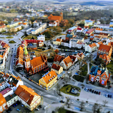
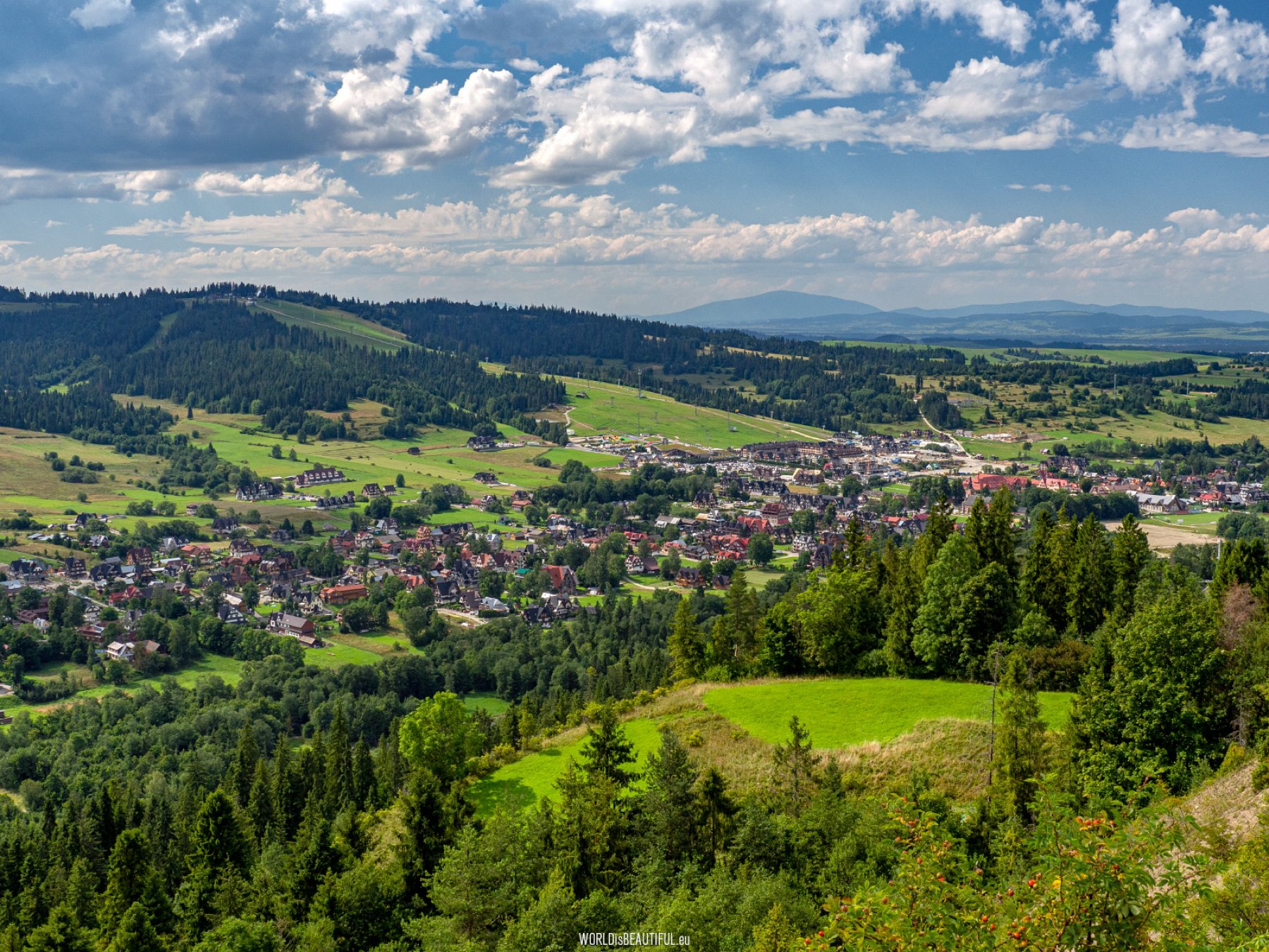
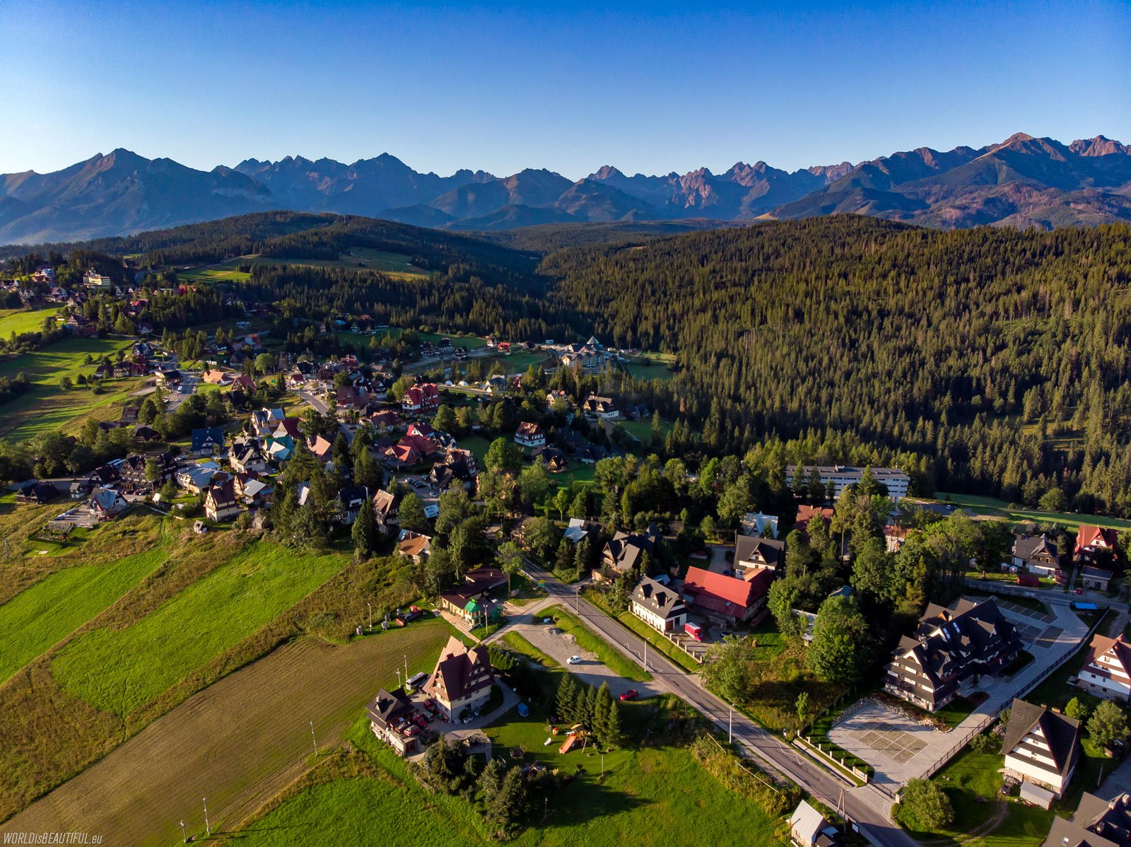
Aerial view of Bukowina Tatrzańska. Bukowina is a tourist village in the Podhale region located on the hills on the left bank of the Białka River.
Picture number (ID): 1448 Google Map Photo Sphere
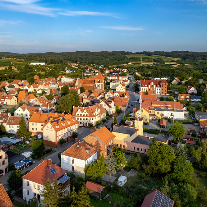
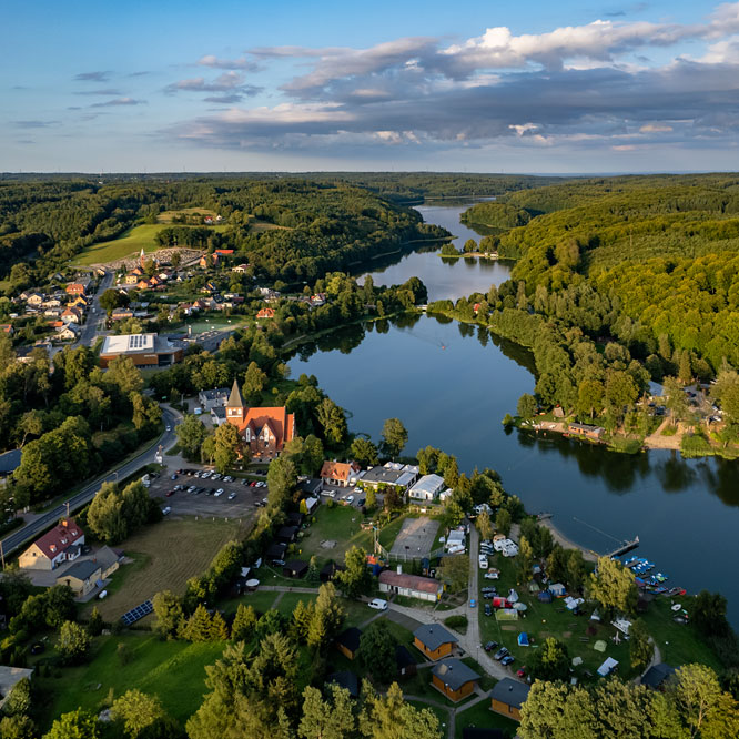
Czarna Góra (Black Mountain) - tourist village located on the right bank of the Białka River near the Tatra Mountains.
Picture number (ID): 1447 Google Map Photo Sphere
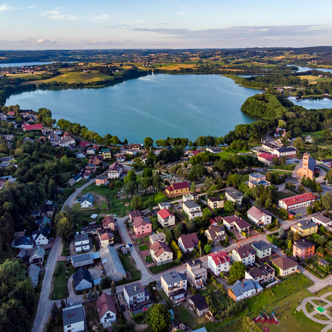
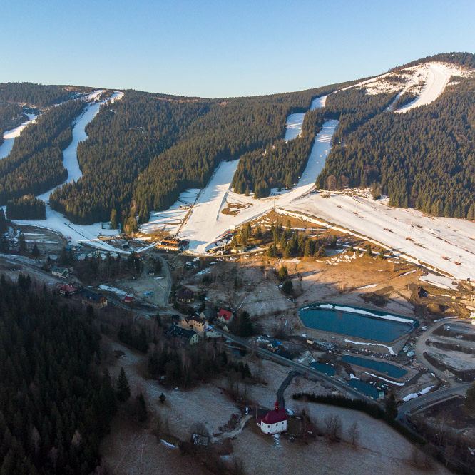
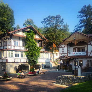
Panorama of Białka Tatrzańska from the viewpoint on Czarna Góra. There is the center of the village, the Kotelnica Białczańska Ski Resort and the Terma Bania water park with thermal pools and SPA in the photo. There is a massif of Babia Góra on the horizon.
Picture number (ID): 1451 Google Map
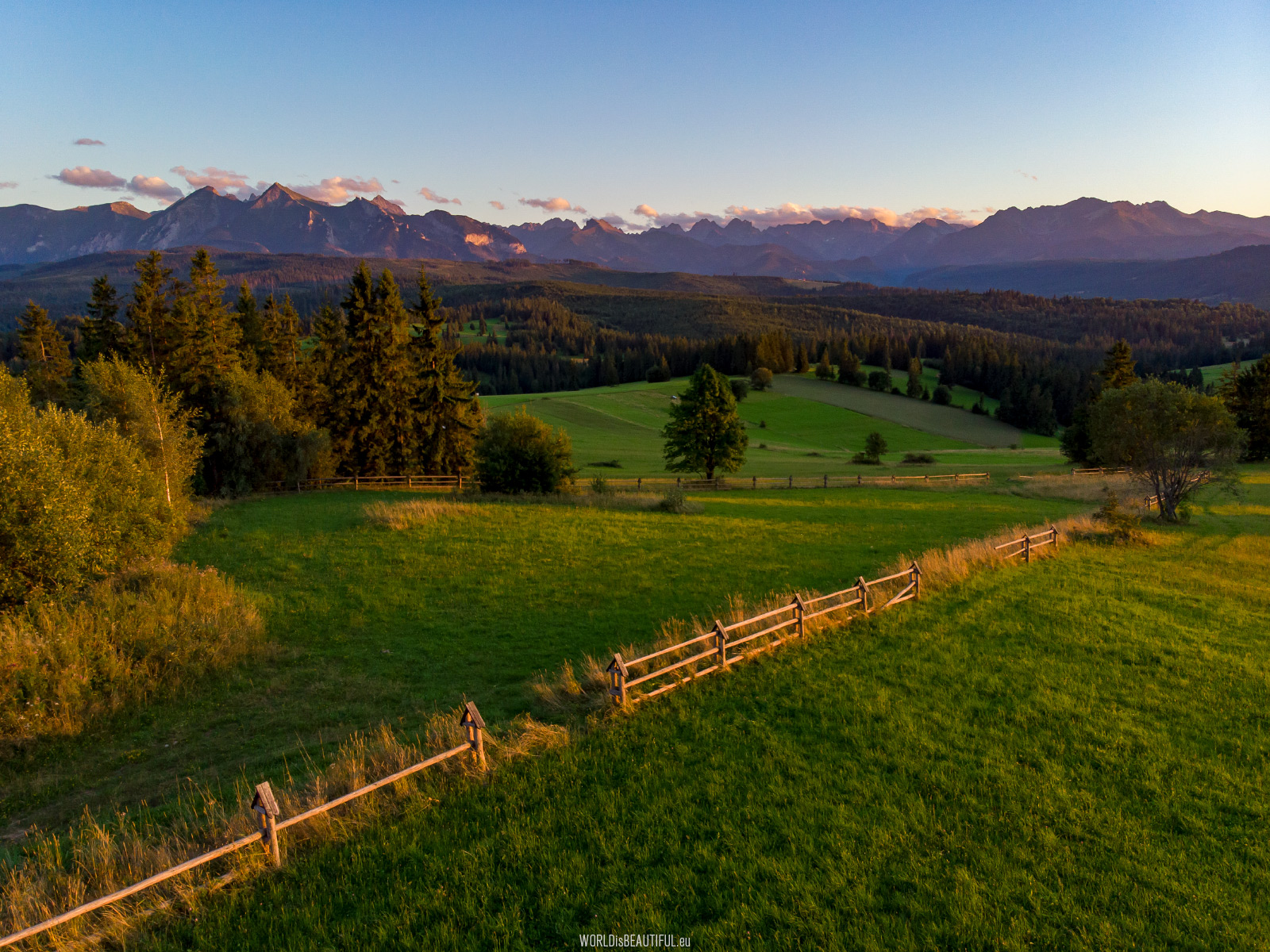
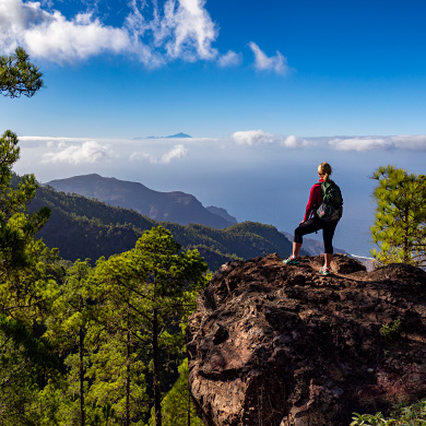
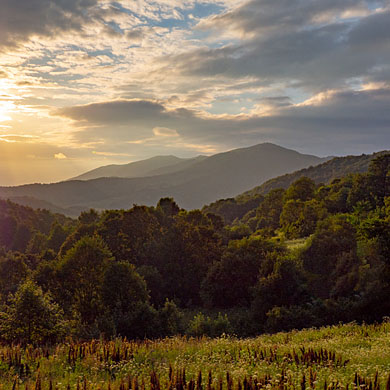
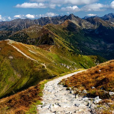
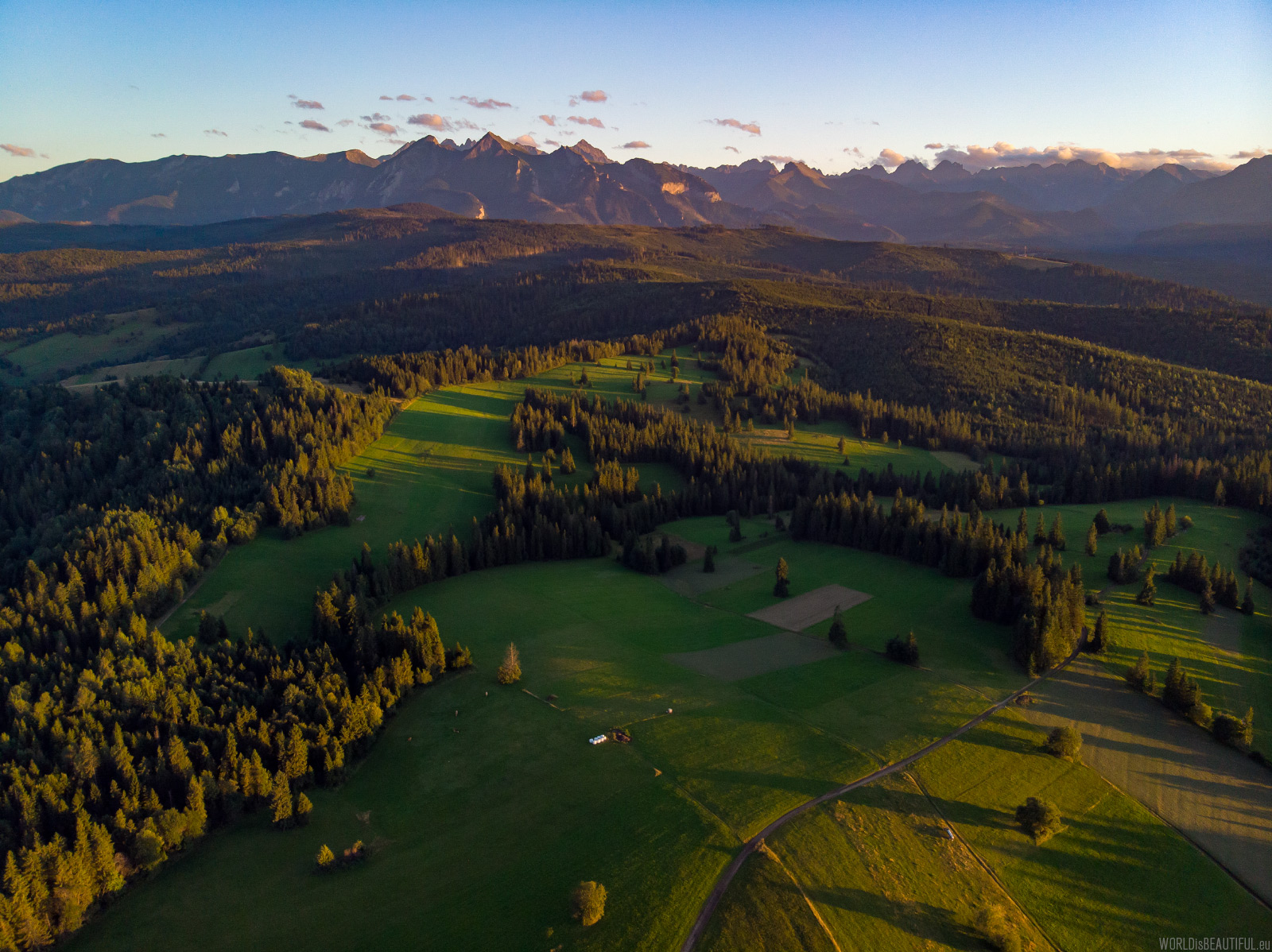
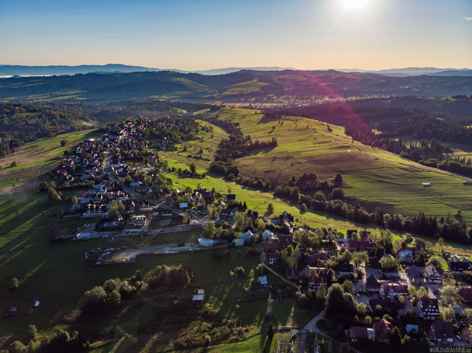
Łapszanka - a view of the Tatra Mountains
View from the Pass over Łapszanka (945 m a.s.l.). The area around Łapszanka is an ideal place to admire the landscapes of the Tatra Mountains and the Spiš Magura.
Picture number (ID): 1444 Google Map
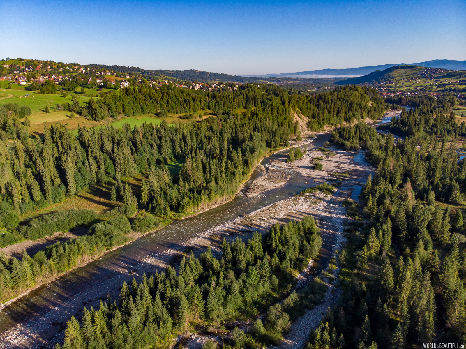
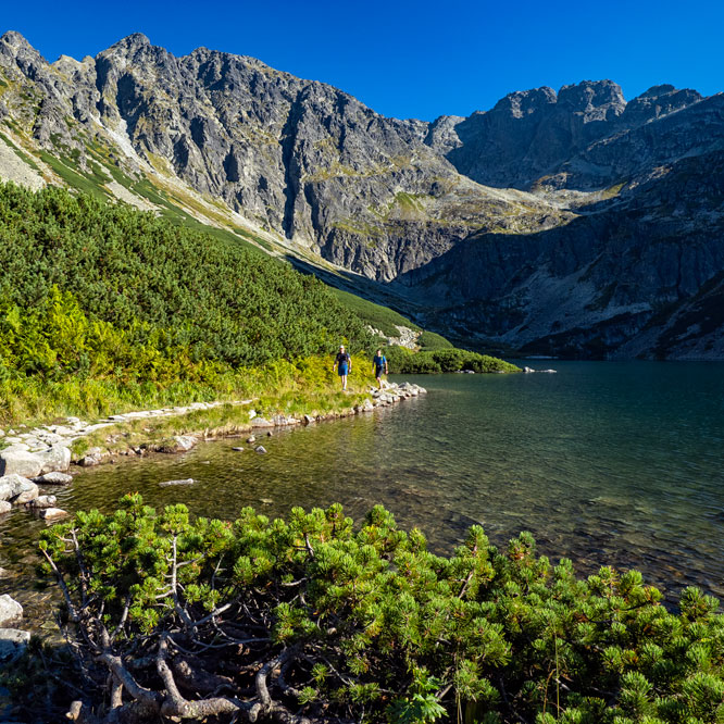
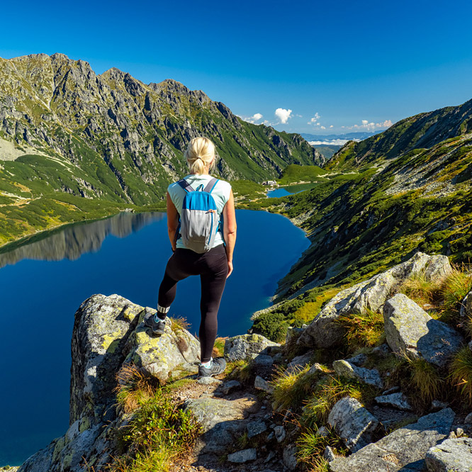
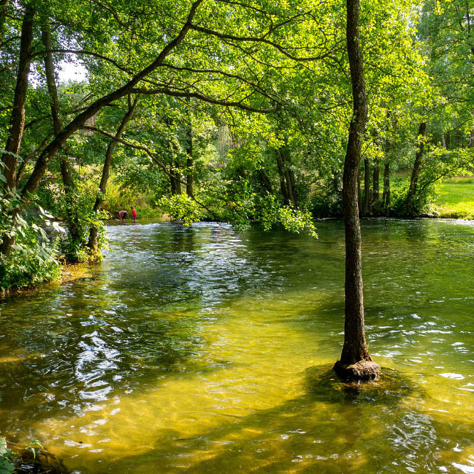
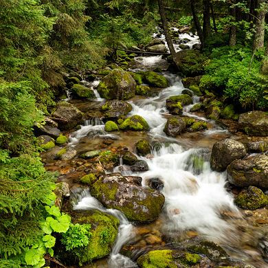
The Białka River is a combination of the rivers: Rybi Potok (flowing from Morskie Oko) and Biała Woda flowing from the Slovak High Tatras.
Picture number (ID): 1440 Google Map Photo Sphere
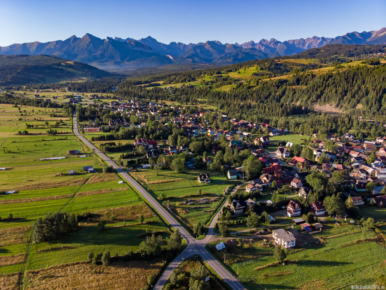
Jurgów is a small village on the right bank of Białka in the Spisz region of the Tatra Mountains. There is an interesting Jurgów Ski Resort here - there are not many ski runs but some are quite steep.
Picture number (ID): 1445 Google Map Photo Sphere
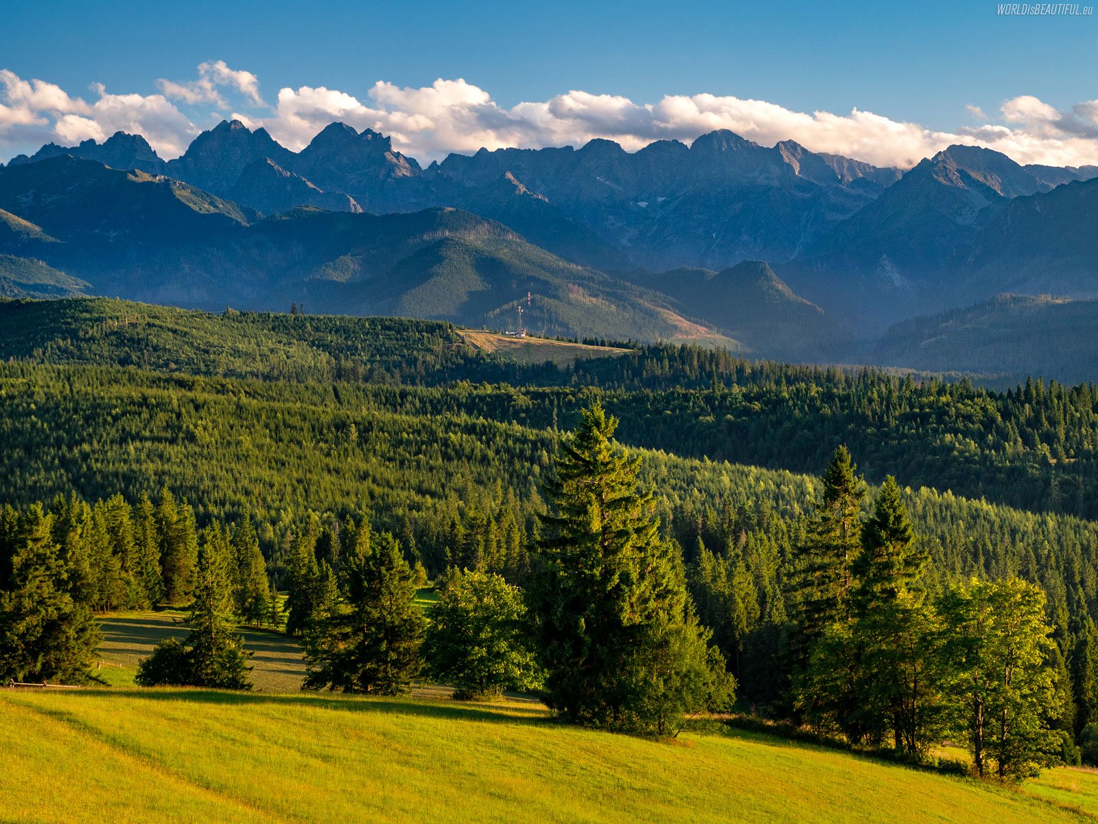
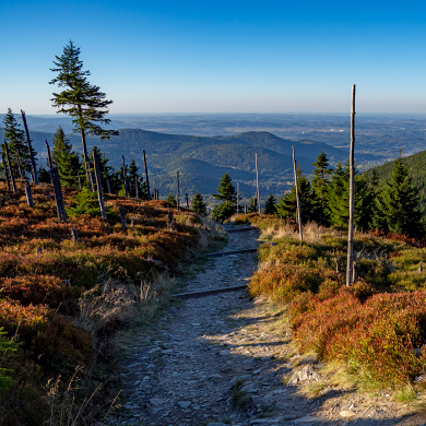
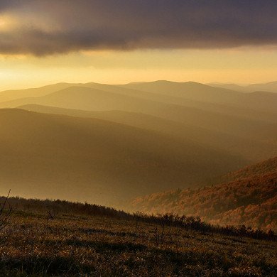
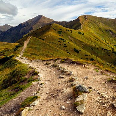
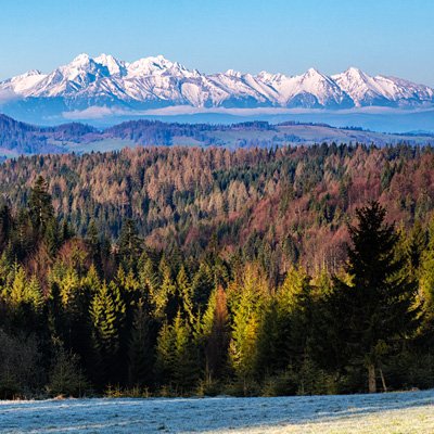
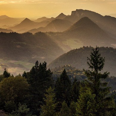
Tatra Mountains from the pass over Łapszanka
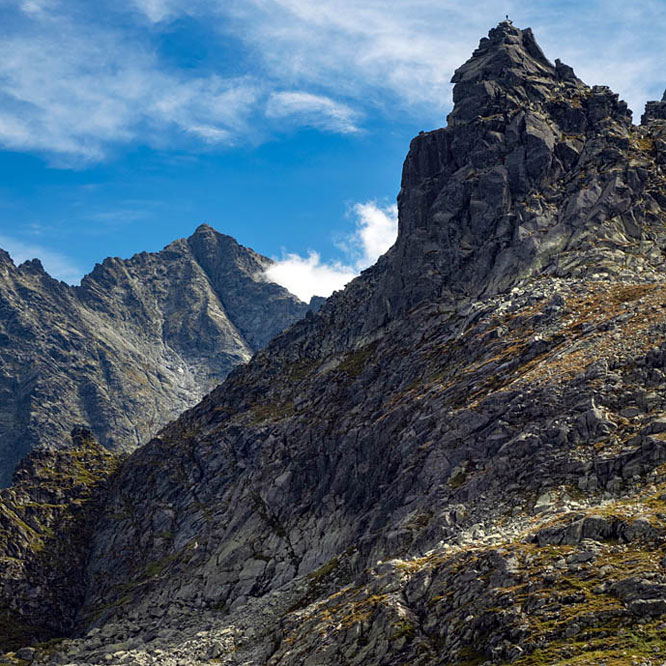
Panorama of the High Tatras from the pass over Łapszanka. The peaks from the left are: Ganek, Wysoka, Rysy, Wołowy Grzbiet, three Mięguszowieckie Szczyty, Cubryna and Wołoszyn.
Picture number (ID): 1978 Google Map
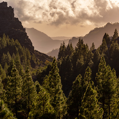
Bukowina Tatrzańska and the panorama of the Tatra Mountains
The rocky peaks of the Tatra Mountains, lit by the morning sun, majestically await tourists and climbers. Bukowina Tatrzańska is located about 10 kilometers from Łysa Polana and is a very good starting point for all enthusiasts of the Tatra Mountains.
Picture number (ID): 1979 Google Map
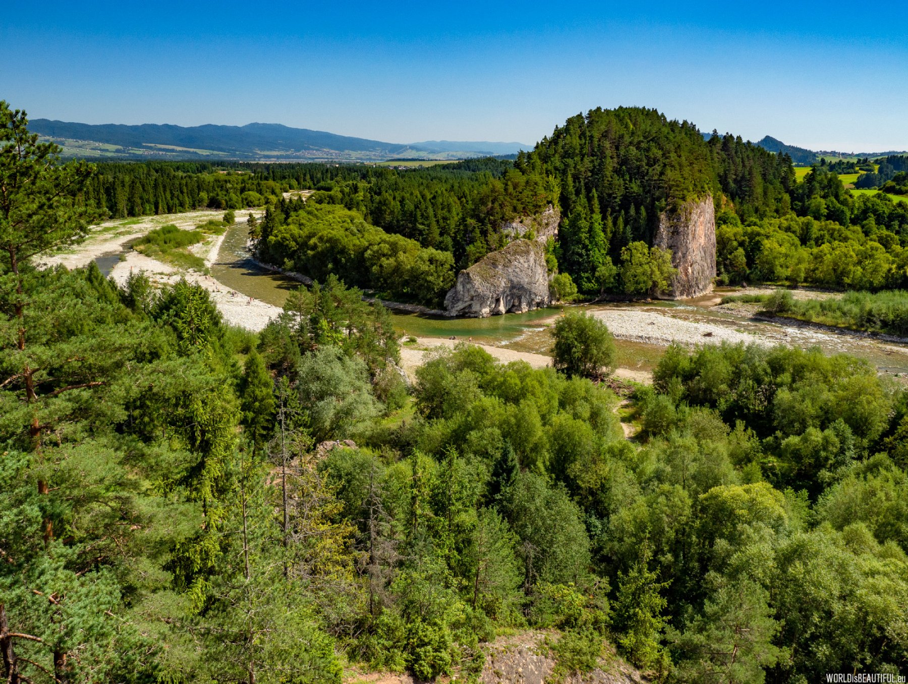
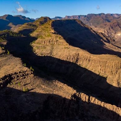
The Białka gorge near Krempachy, between the Kramnica rock on the right bank and Obłazowa rock on the left river.
Picture number (ID): 1450 Google Map
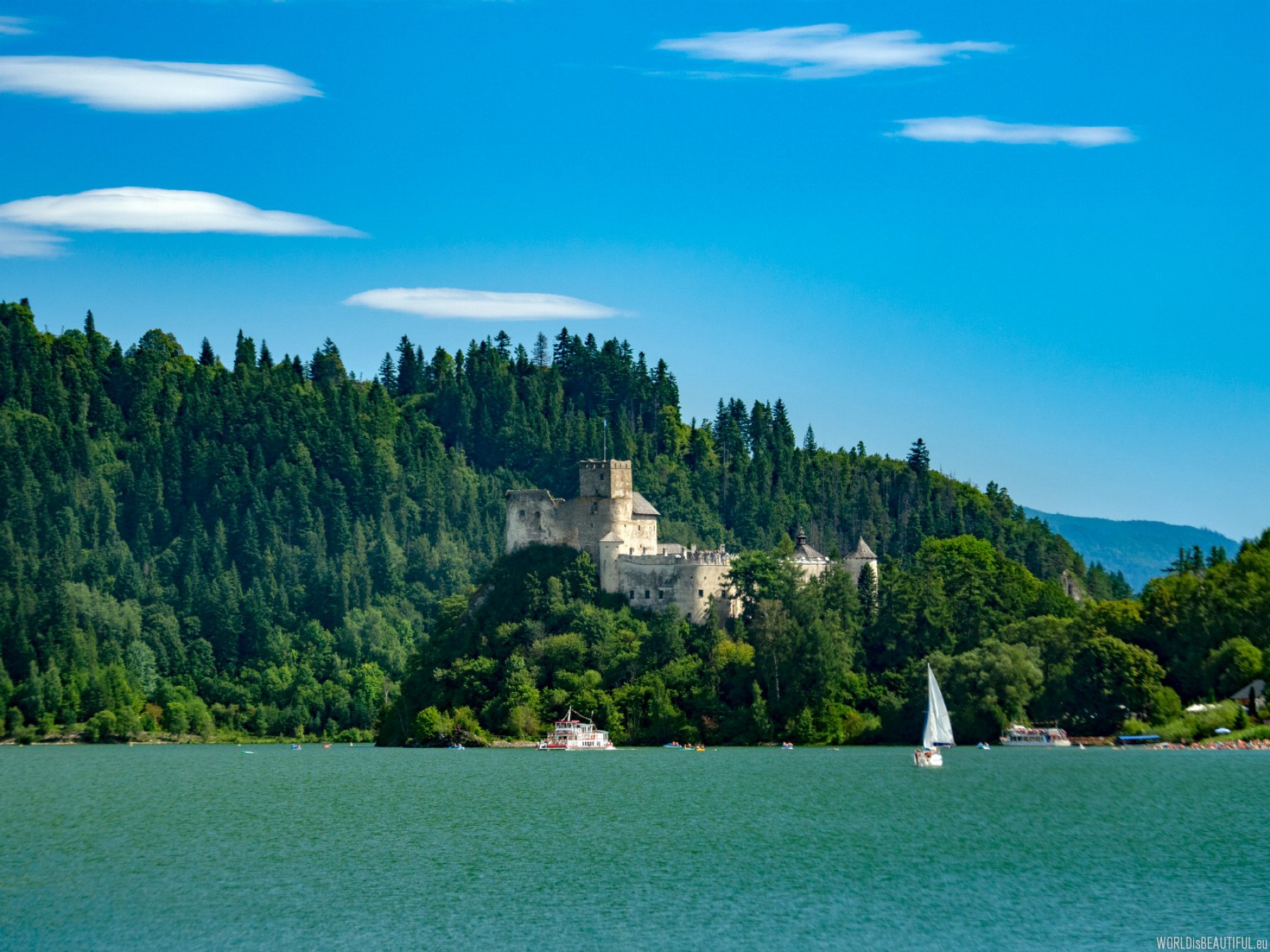
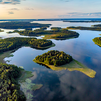
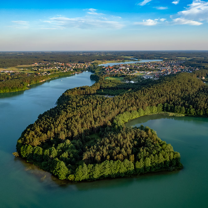
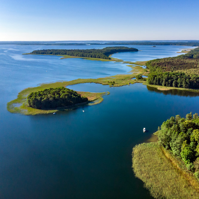
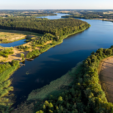
Czorsztyn Lake and the Niedzica Castle
The Białka River flows into the Czorsztyn Lake - the artificial lake (reservoir) on the Dunajec. The lake is 9 km long and over a kilometer wide. There are castles in Czorsztyn and Niedzica on both sides of the lake. More photos of the castles can be seen in the gallery: Castles in Poland.
Picture number (ID): 1449 Google Map
Find an apartment
See other galleries: