Photo Gallery » Kościelec, Tatra Mountains
One day trip to Kościelec (2155 m - 7070 ft) in the High Tatras in Poland. We started in the morning from the parking lot in Brzeziny (1007 m) to Hala Gąsienicowa. From there through Czarny Staw Gąsienicowy, Mały Kościelec, the Karb Pass to Kościelec. Returning, we went to dinner at the Murowaniec shelter. The whole route is about 20 km, time less than 8 hours, the total number of approaches and descents: 1251 m. Link to our trekking trail to Kościelec.


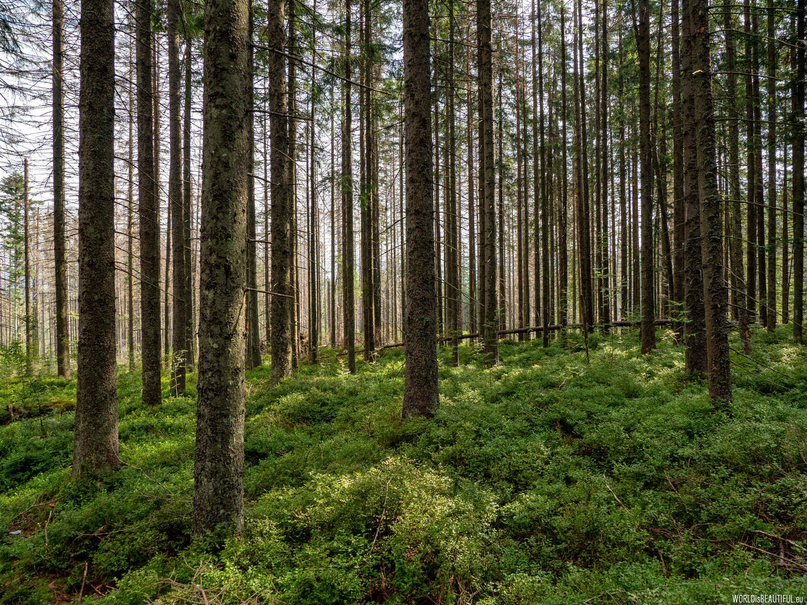
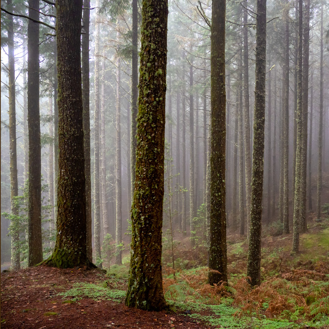
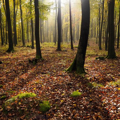
We entered the black tourist trail leading to Hala Gąsienicowa at the Brzeziny parking lot. At the beginning we walked the path in the valley through the spruce forest.
Picture number (ID): 1437 Google Map
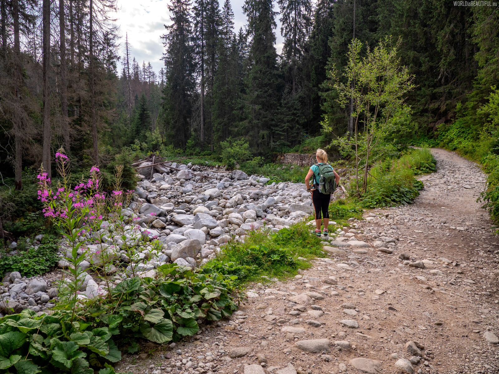
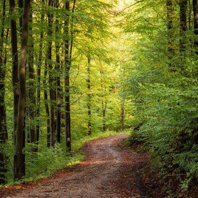
The trail in the Sucha Woda Valley to Hala Gąsienicowa. From the car park to the Murowaniec hostel it is 6.5 km, over 2 hours walk and 500 m approach.
Picture number (ID): 1436 Google Map
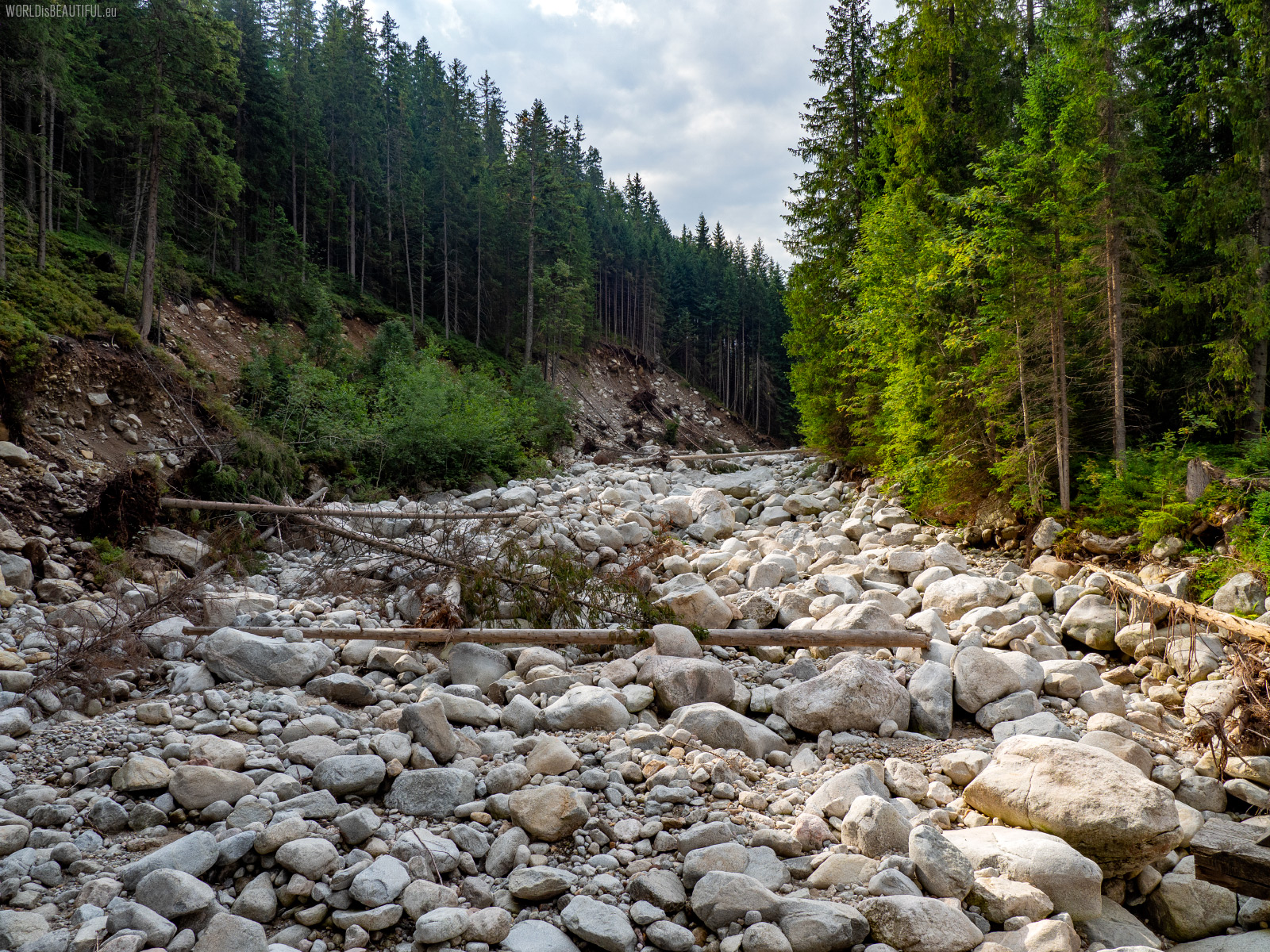
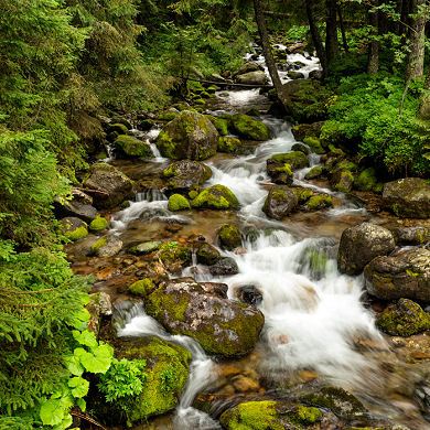
Dolina Suchej Wody (Dry Water Valley) and a mountain river without water ... Giant boulders in a dry riverbed look apocalyptic ...
Picture number (ID): 1435 Google Map

This small wooden building at Hala Gąsienicowa is Betlejemka - the Central Training Center of the Polish Mountaineering Association (PZA) in the Tatra Mountains.
Picture number (ID): 1434 Google Map
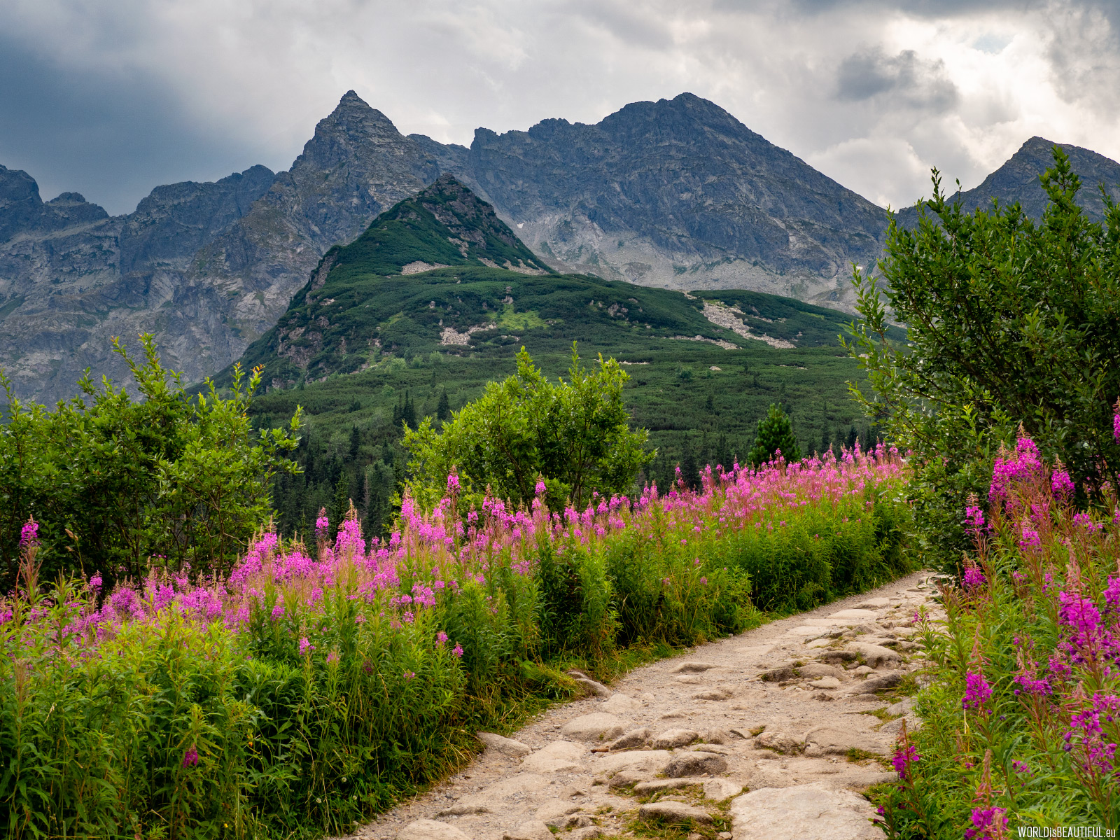
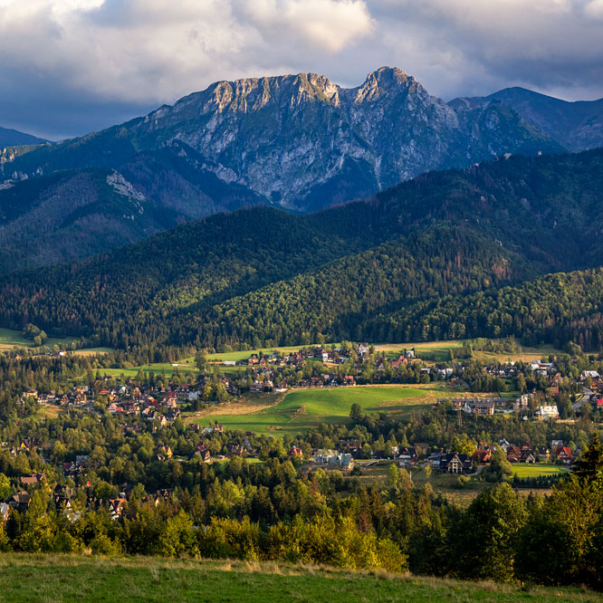
These pink flowers growing in summer in Hala Gąsienicowa are the Rosebay willowherb (fireweed). In the background, slightly to the left, this almost perfectly triangular pyramid is Kościelec.
Picture number (ID): 1433 Google Map
Kościelec, due to its shape, is often called the Polish or Tatra Matterhorn, although sometimes some also call it the Mountain of Fear.
Picture number (ID): 1432 Google Map
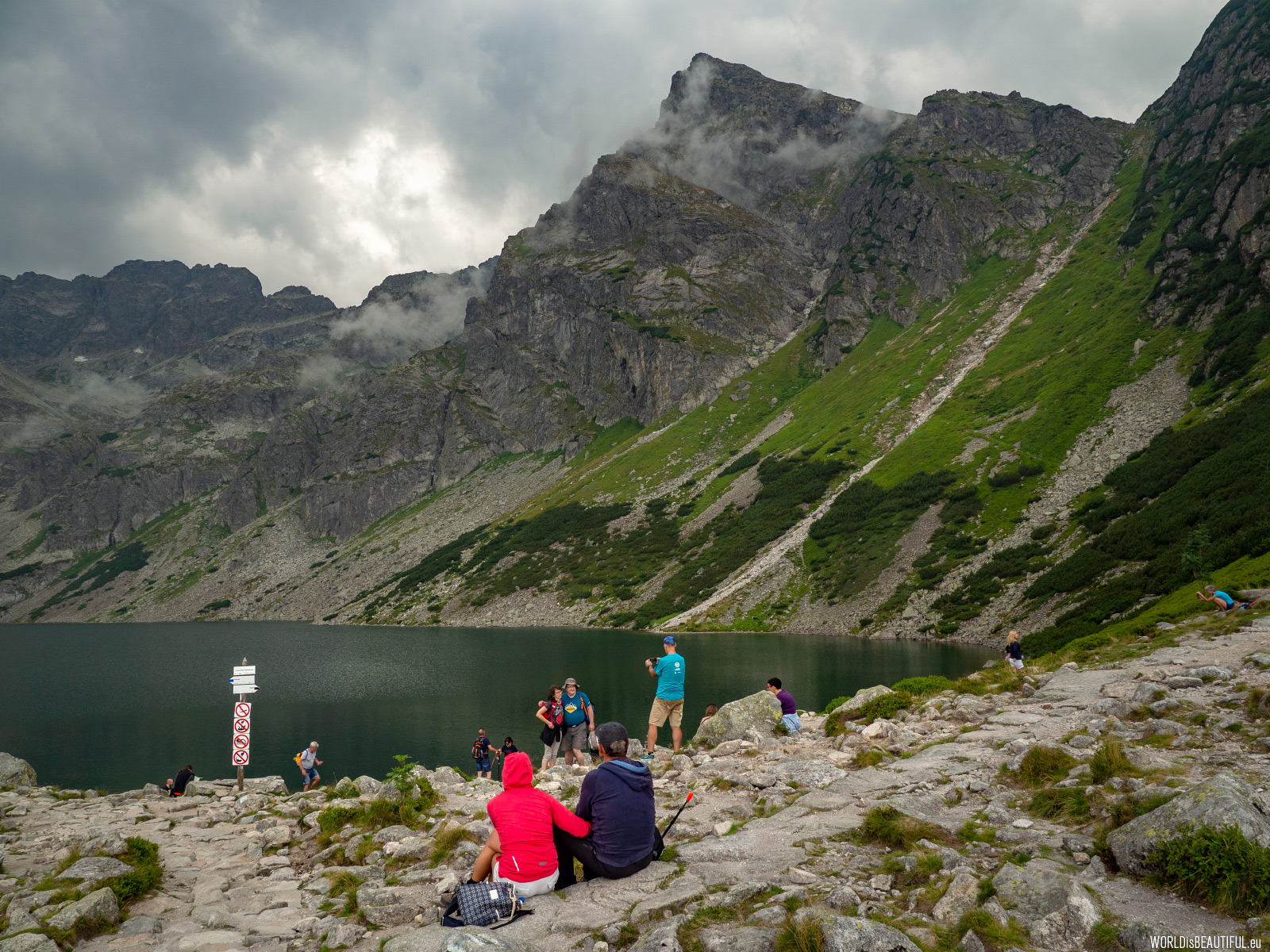
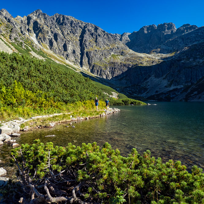
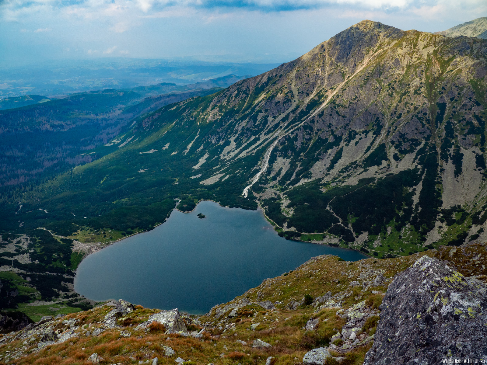
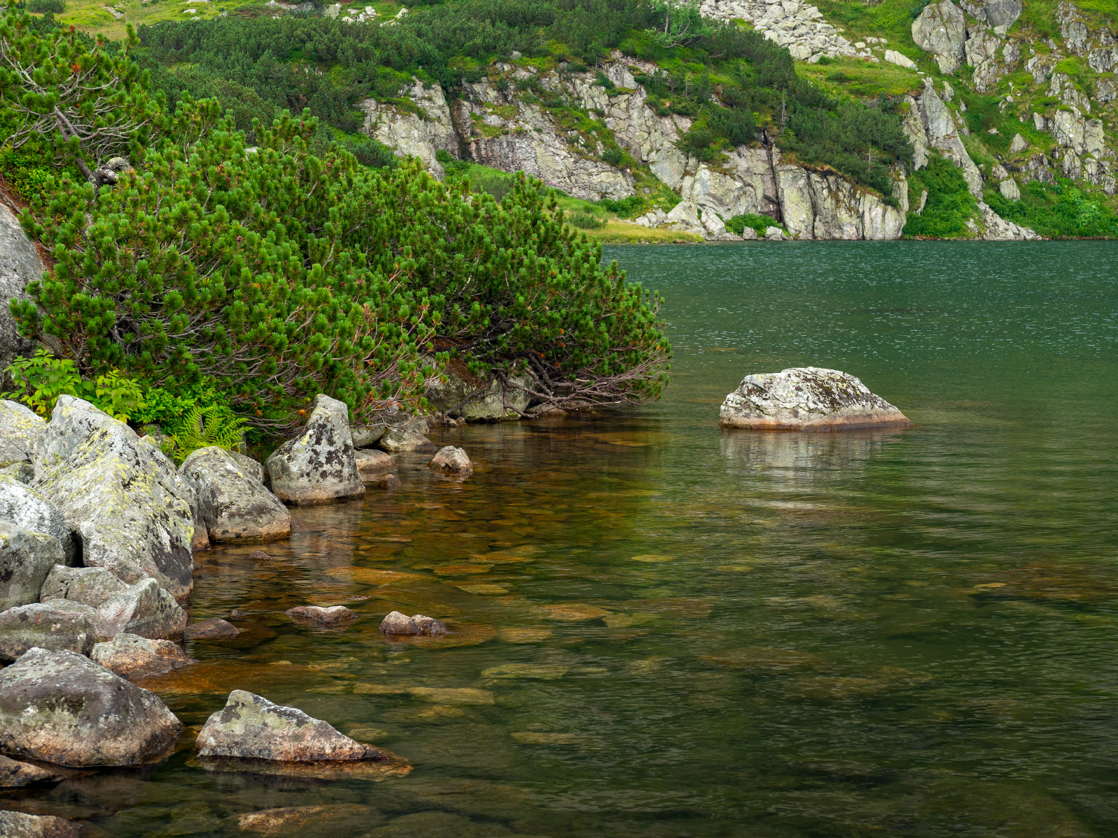
Czarny Staw Gąsienicowy (located at 1624 m - 5328 ft high) is a large glacial lake in the High Tatras. Its depth is 51 meters (167 ft).
Picture number (ID): 1431 Google Map
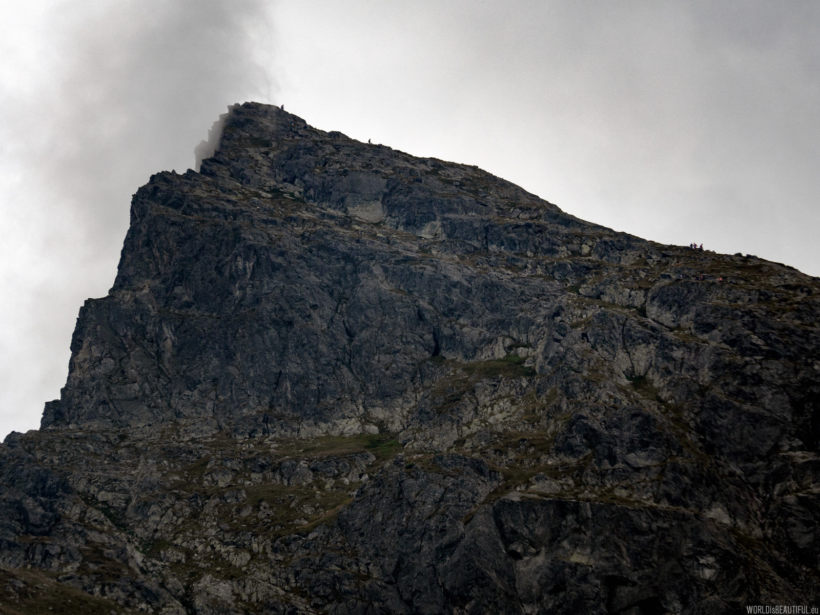
Kościelec Peak seen from below at maximum zoom (200 mm) ... this rock is so big and the people are so small ...
Picture number (ID): 1430 Google Map
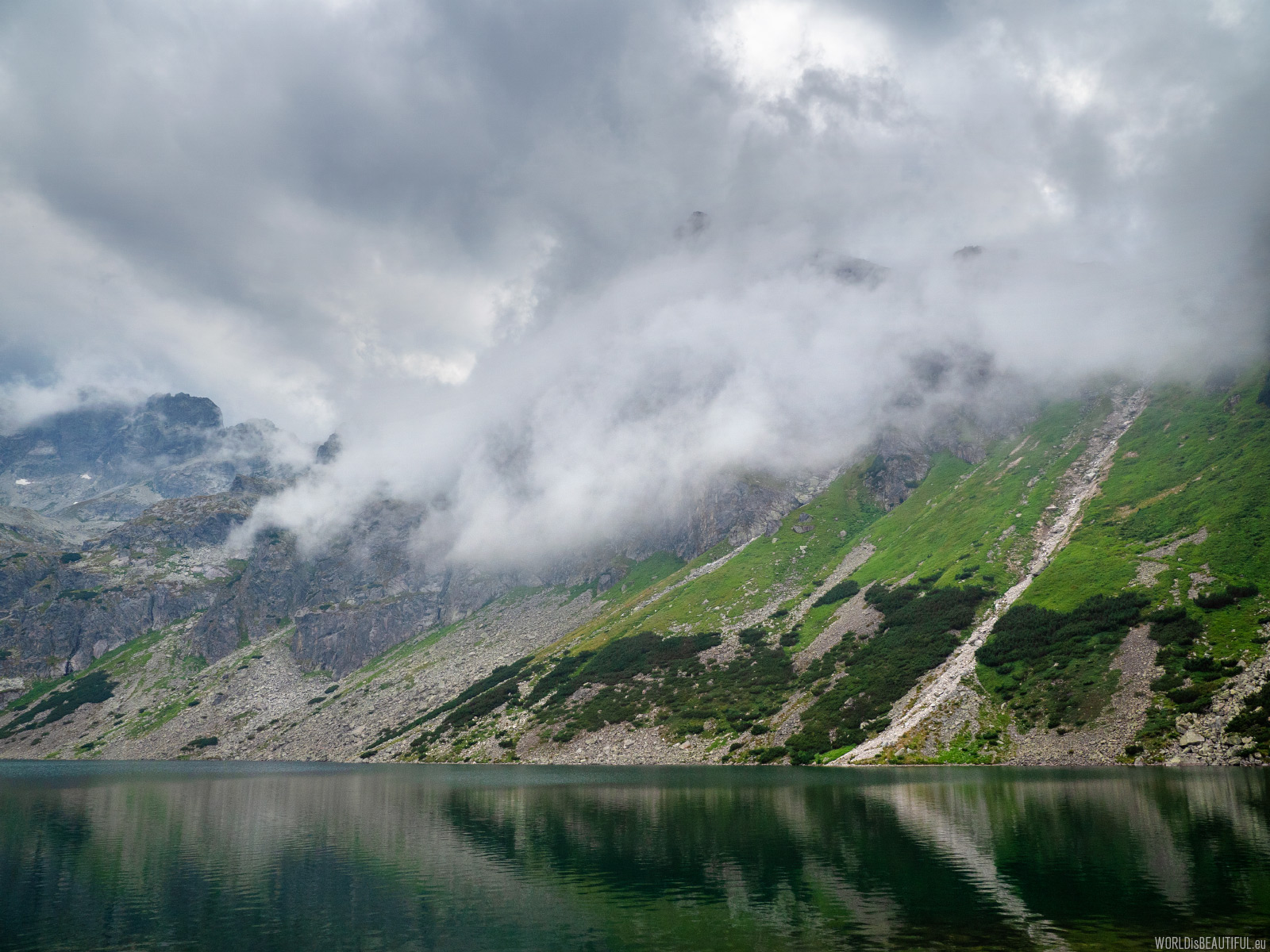
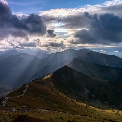
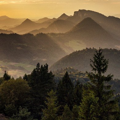
Variable weather in the mountains
The weather is changing every moment - sometimes the sun, sometimes rain. Once the mountain is visible, and in a moment you cannot see ...
Picture number (ID): 1429 Google Map
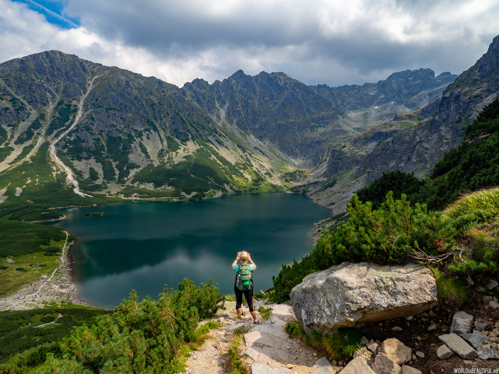
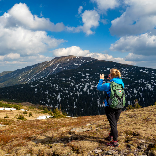
The sun came out from behind the clouds and it got warm. View from the trail to Mały Kościelec. In the picture: Czarny Staw Gąsienicowy and Orla Perć.
Picture number (ID): 1428 Google Map
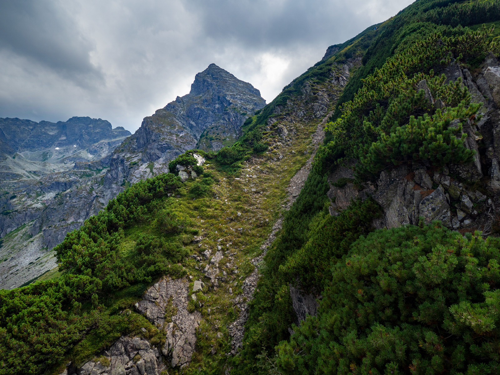
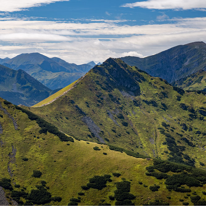
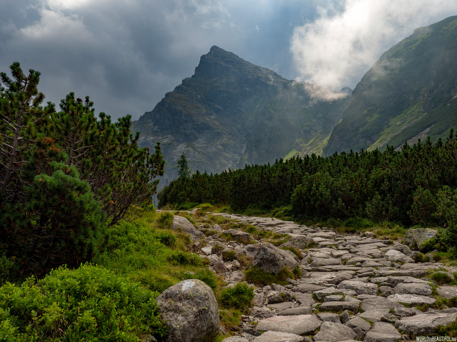
Nature in the Tatra Mountains, Mały Kościelec
Nature in the Tatras is amazing - rocks, mosses, mountain pine ...
Picture number (ID): 1427 Google Map
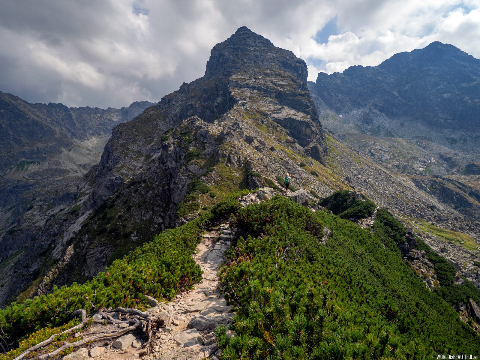
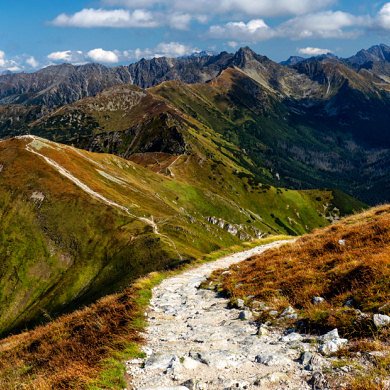
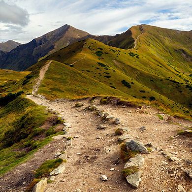
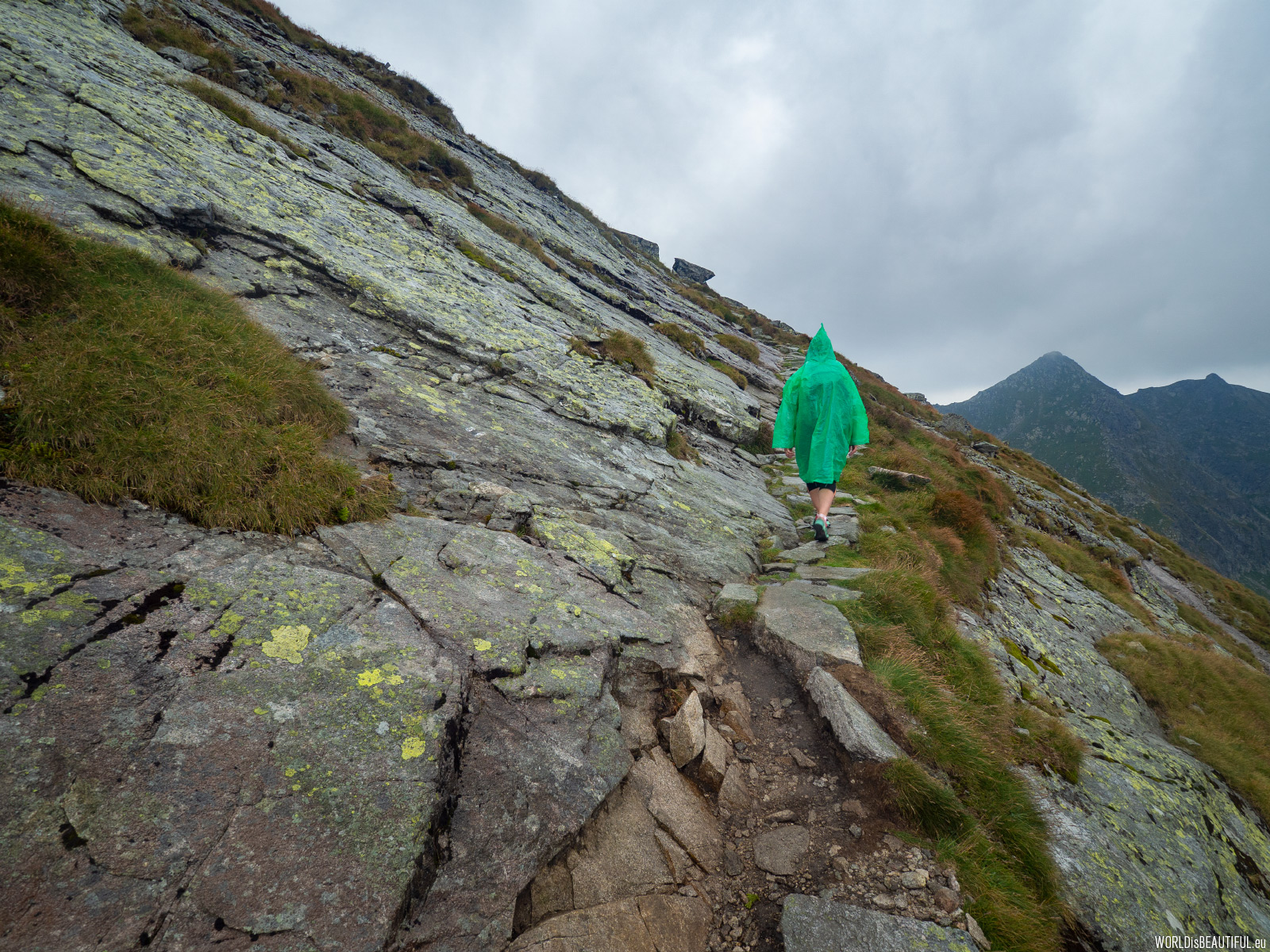
We pass through Mały Kościelec (1863 m). There is the Karb Pass (1853 m) in front of us. And then the last ascent along the black trail to Kościelec. The trail is not very difficult as long as it is dry, in trekking shoes there is no problem with climbing up and down. The problem starts when some rain appears.
Picture number (ID): 1426 Google Map
Sudden change of weather in the Tatra Mountains
If it can be harder then why shouldn't it be... Just 15 minutes before the sun was shining, suddenly black clouds came and it started to rain. The weather in the Tatras can change very quickly so you need to have clothes for every occasion in your backpack. There is no better rainwear than a foil cape - ideally waterproof, windproof and very light.
Picture number (ID): 1425 Google Map
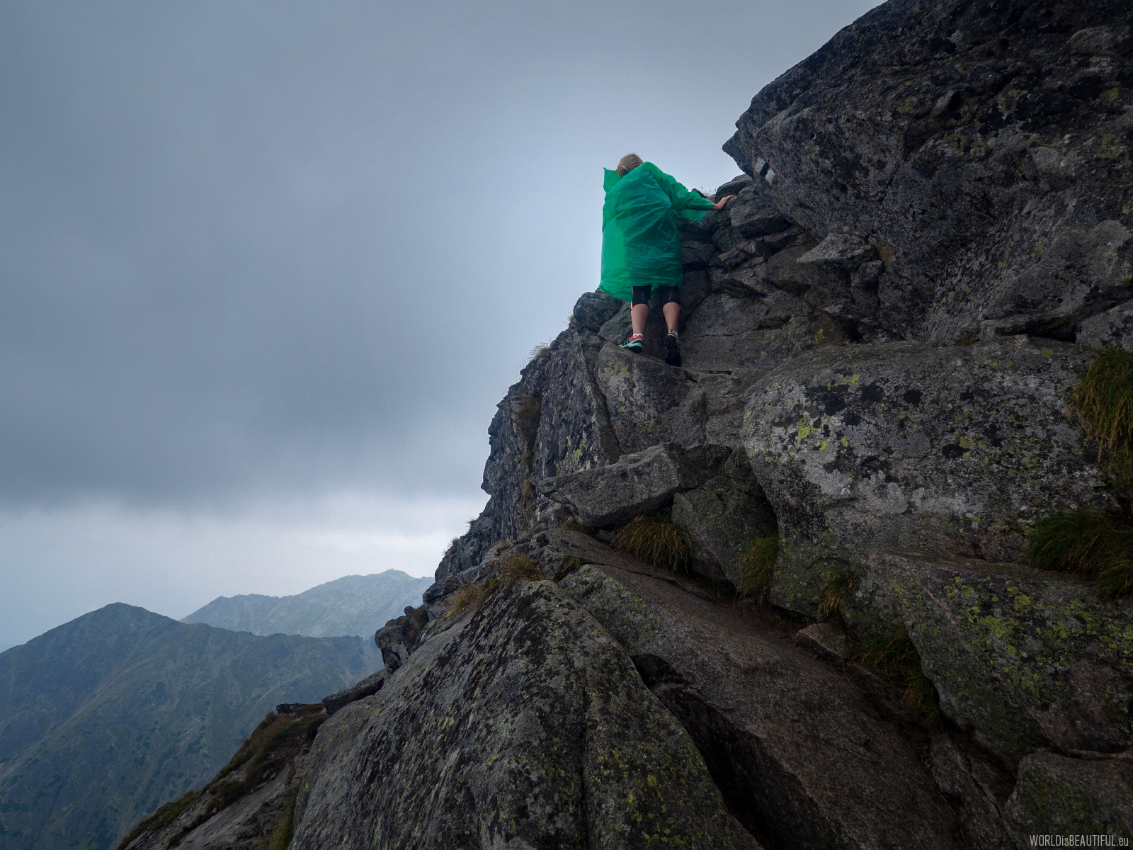
There are no artificial facilities such as chains or buckles on the trail. There are 2 or 3 places along the way that require little climbing. As long as the rocks are dry, there is no problem. After rain, the rocks get very slippery and you have to be very careful.
Picture number (ID): 1424 Google Map
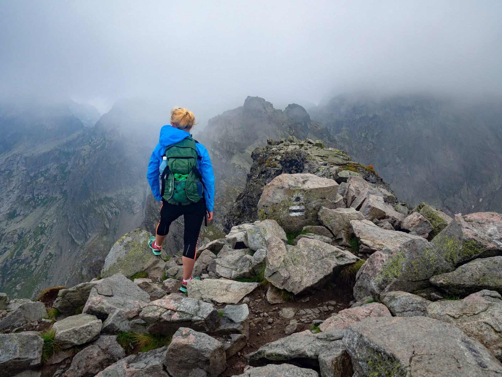
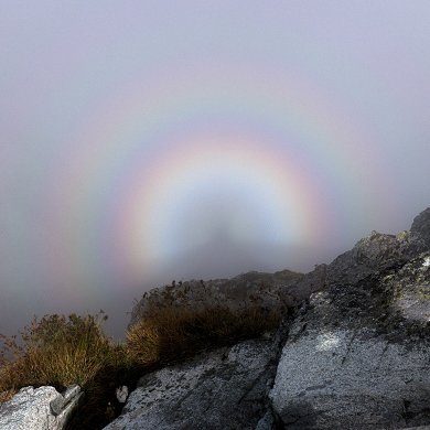
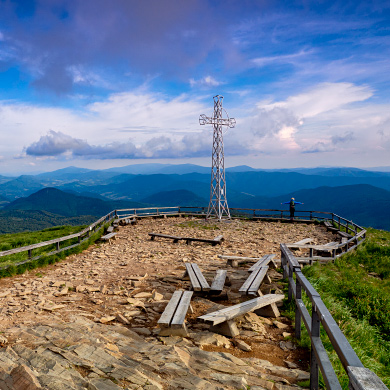
At the summit of Kościelec (2,155 m a.s.l. - 7 070 ft). We went to the top although the end of the trail after the rain was not easy. Now a moment to admire the cloudy Tatra mountains. At the top of Rysy we had similar weather.
Picture number (ID): 1423 Google Map
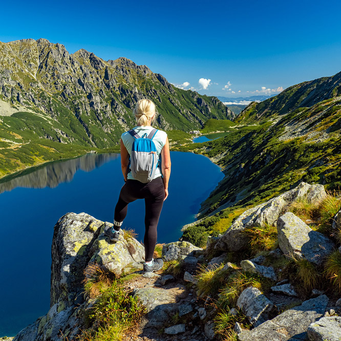
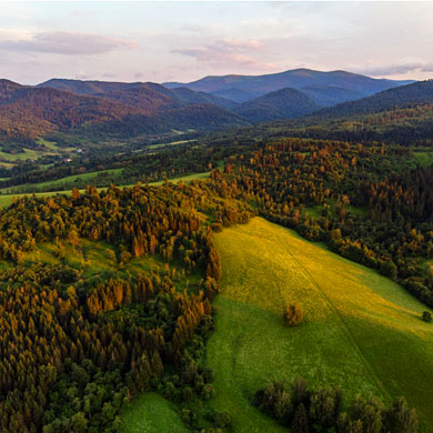
Mountain view from the slopes of Kościelec
The mountain sceneries and the energy you get when you reach the summit compensate for all your hardships.
Picture number (ID): 1421 Google Map
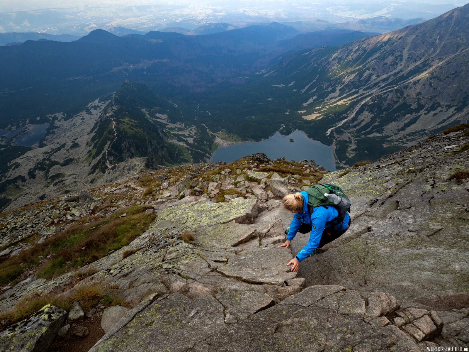
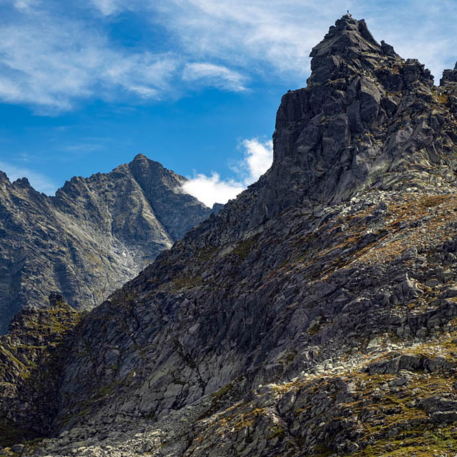
Going down is harder than climbing
Sometimes you go down the mountain is much more difficult than climbing.
Picture number (ID): 1422 Google Map
We descended from the Karb Pass along the blue trail through the Zielona Gąsienicowa Valley towards the Murowaniec hut.
Picture number (ID): 1420 Google Map
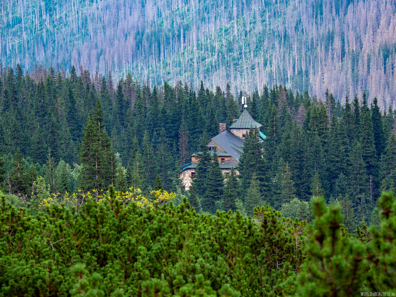
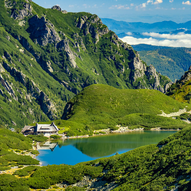
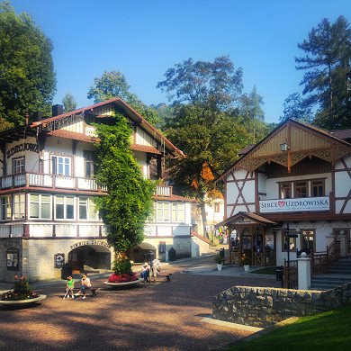
Mountain shelter PTTK Murowaniec
We went to the PTTK "Murowaniec" Hostel on Hala Gąsienicowa for dinner coming back from the mountains. After a short rest, we still had a 6.5 km walk down to the car.
Picture number (ID): 1419 Google Map
Find an apartment
See other galleries: