Photo Gallery » Diablak - Babia Gora
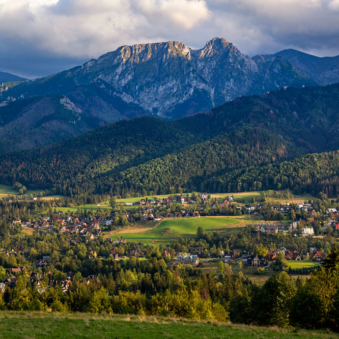
Diablak (1725 m above sea level) is the highest peak of the Babia Góra massif in the Żywiec Beskids. Diablak is also the highest peak of the Western Beskids in Poland. We went to Babia Góra twice in early May. For the first time, in the clouds and rain, we walked along the red trail from the Krowiarki Pass - the route to the top and back is: 10 km and 3.5 hours. The second time, with much better weather: trekking from Zawoja by black trail to the shelter on Markowe Szczawiny and through the Brona pass (red trial) to the top. The entire route is about 20 km and 7 hours of walking.


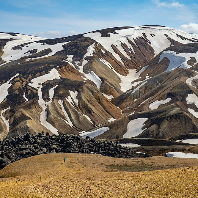
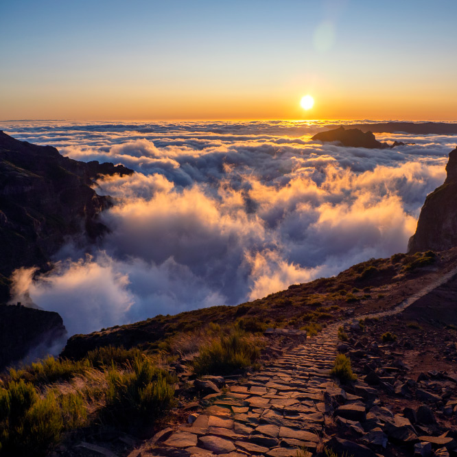
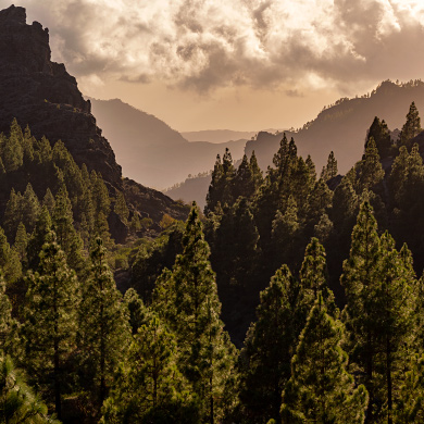
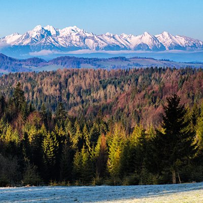
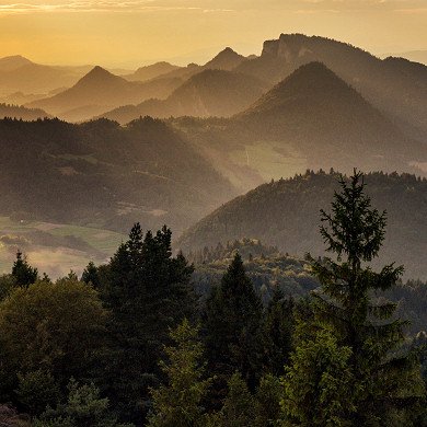
A beautiful May morning at Babia Góra. This is our fourth day in waiting for such weather - it was worth being patient!
Picture number (ID): 1330
We went to Babia Góra from Zawoja. There was beautiful spring weather at the foot of the mountain.
Picture number (ID): 1331 Google Map
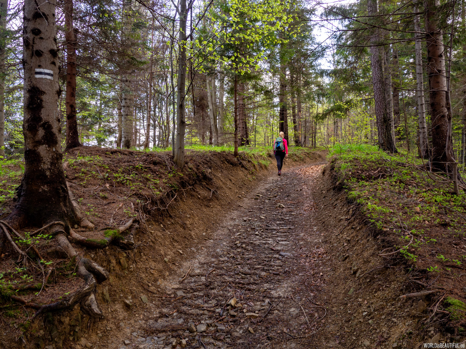
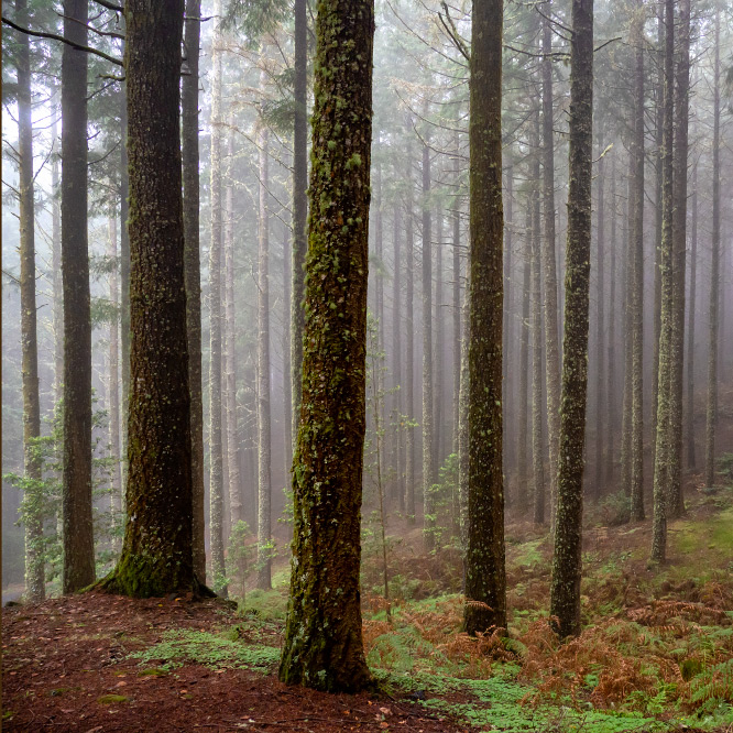
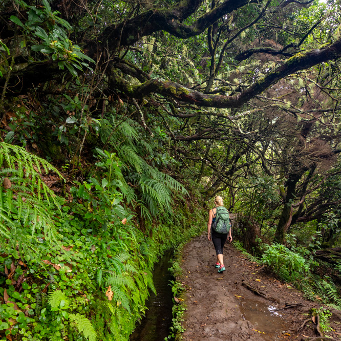
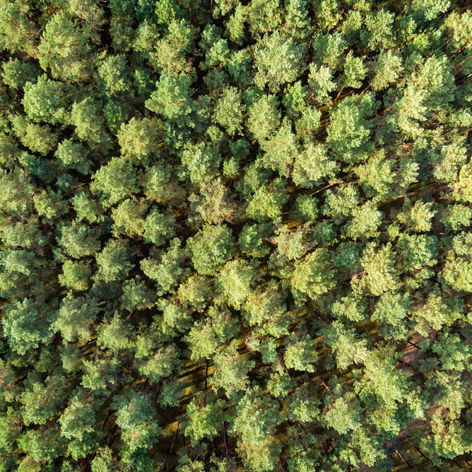
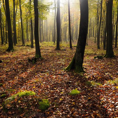
Black hiking trail to Babia Gora
There are several tourist routes from Zawoja to Babia Góra. We went along the black tourist trail through Stary Groń to the mountain hostel Markowe Szczawiny.
Picture number (ID): 1329 Google Map
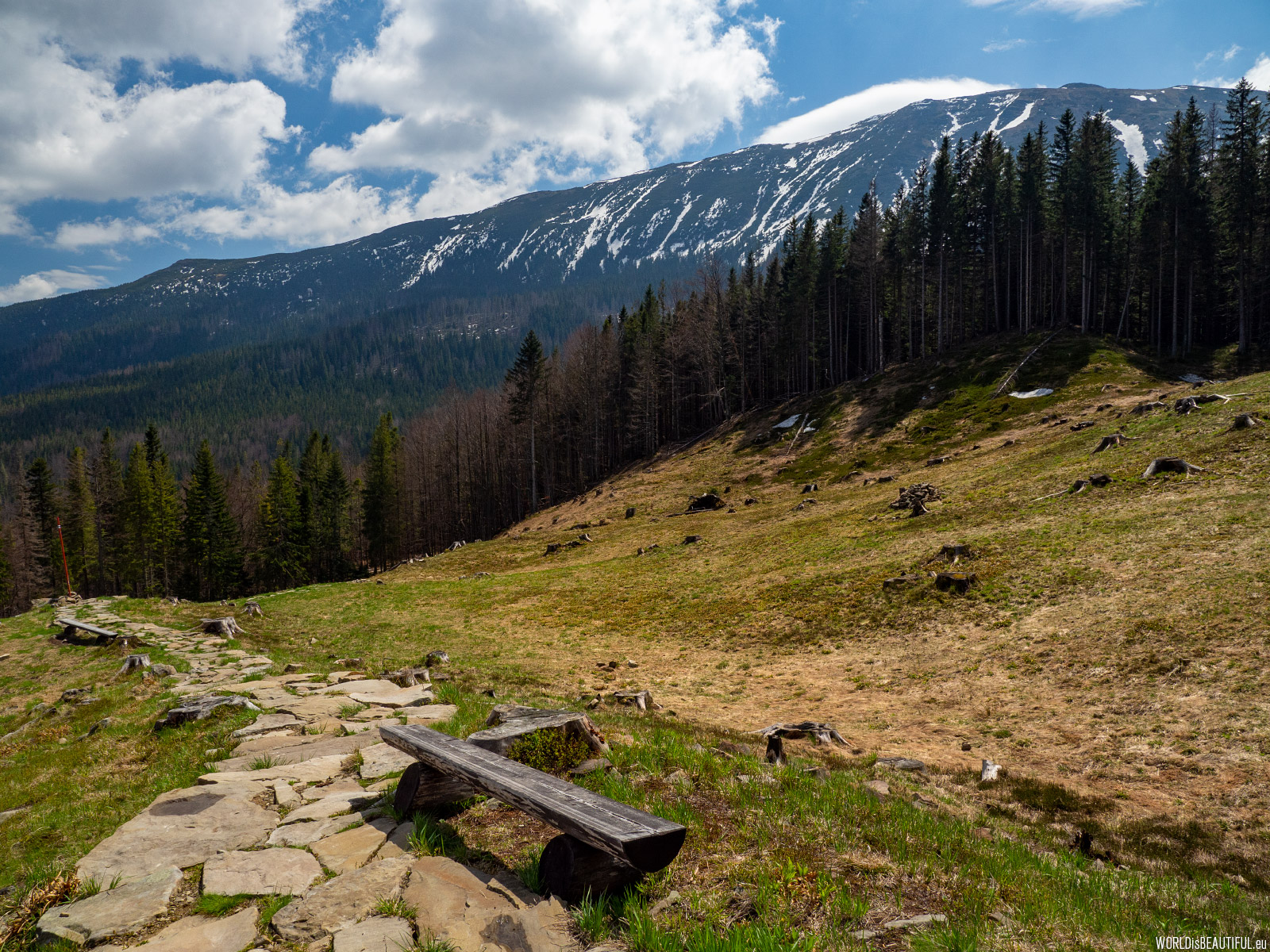
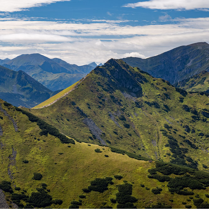
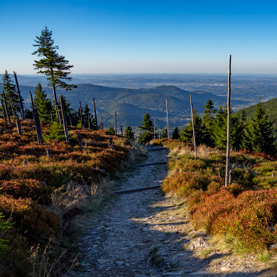
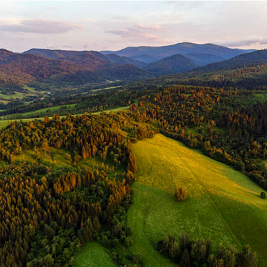
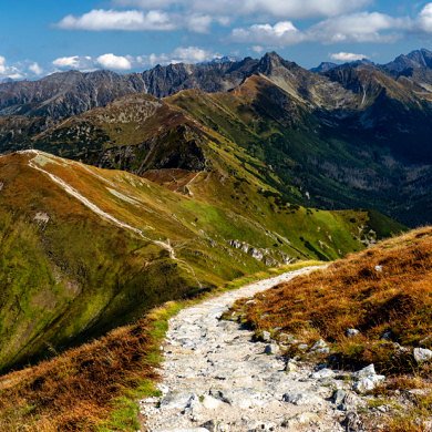
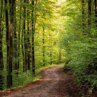
A trail through a clearing in the forest
A beautiful view of the Babia Góra massif from the glade. There were almost no tourists on the route.
Picture number (ID): 1328 Google Map
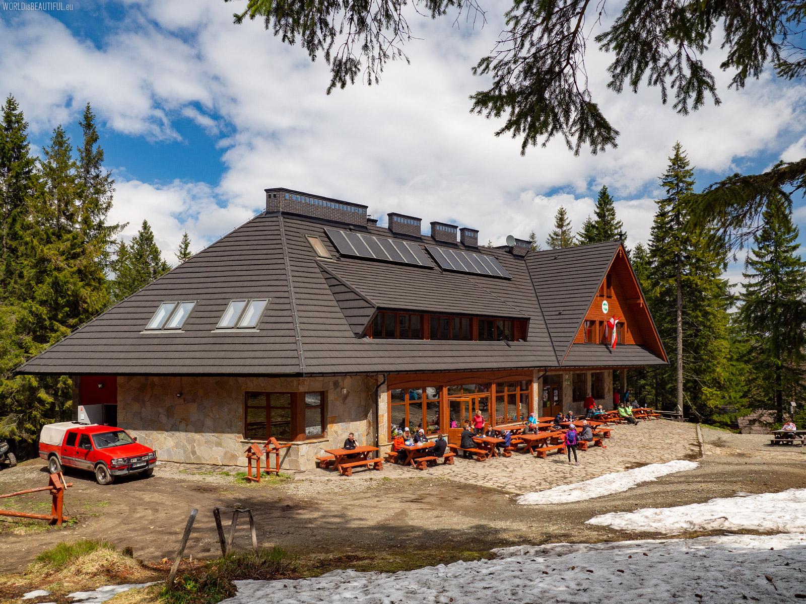
Mountain hostel - Markowe Szczawiny
Mountain hostel PTTK Markowe Szczawiny near Babia Góra. New, large mountain refuge - you can eat, drink, relax and spend the night here.
Picture number (ID): 1327 Google Map
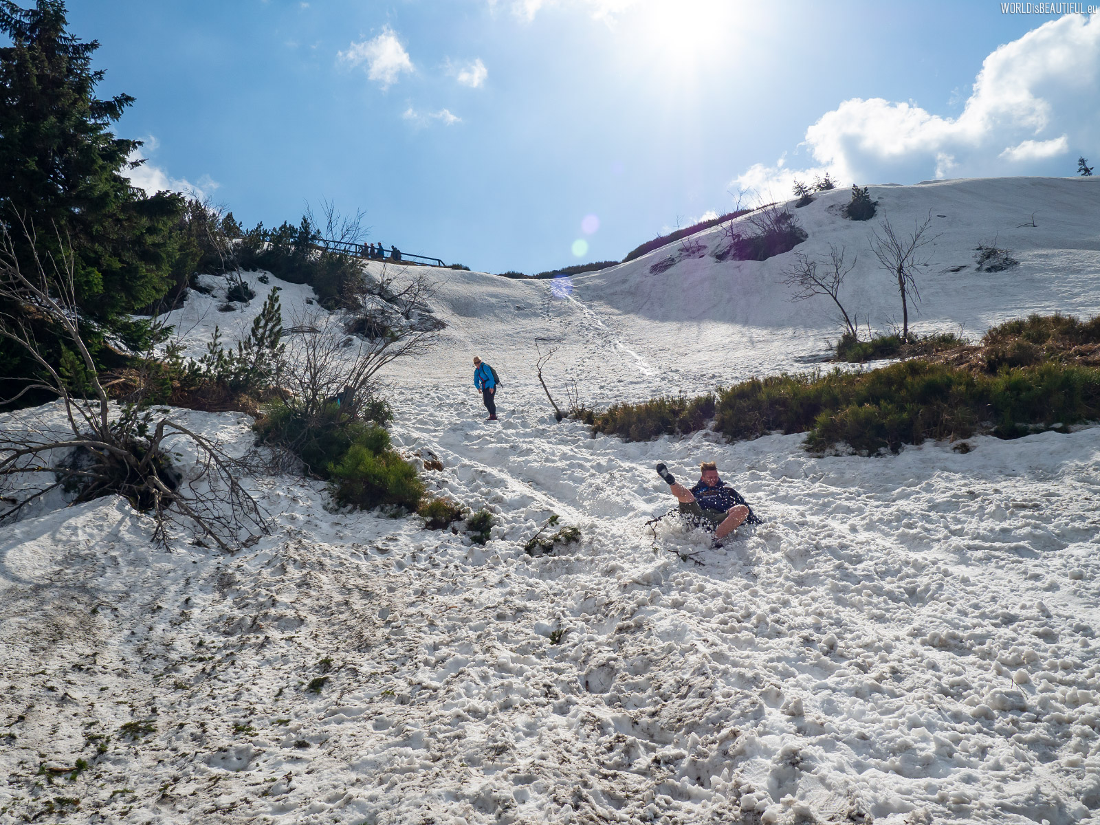
Difficult weather conditions at Babia Góra
We went up the red trail from the hostel. Due to difficult weather conditions Perc Academikow (yellow hiking trail) was closed. Above the Mark Szczawiny there were more than a meter of snow in some places at the beginning of May. It was not easy to go uphill and even harder to get down :-)
Picture number (ID): 1326 Google Map
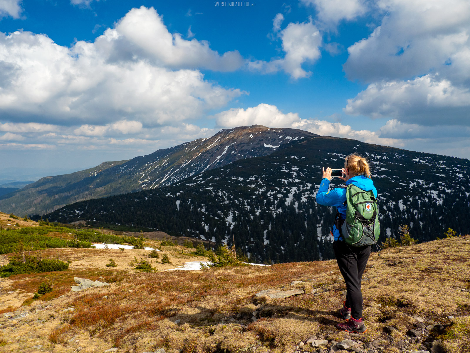
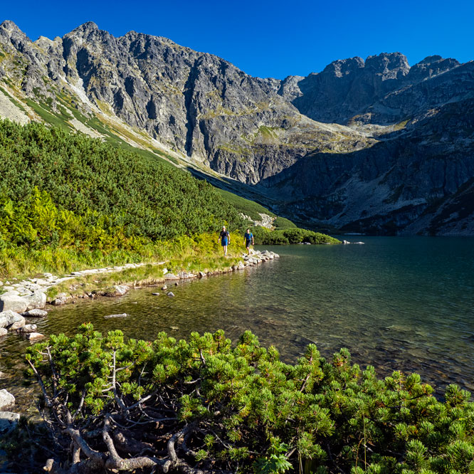
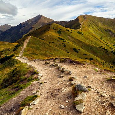
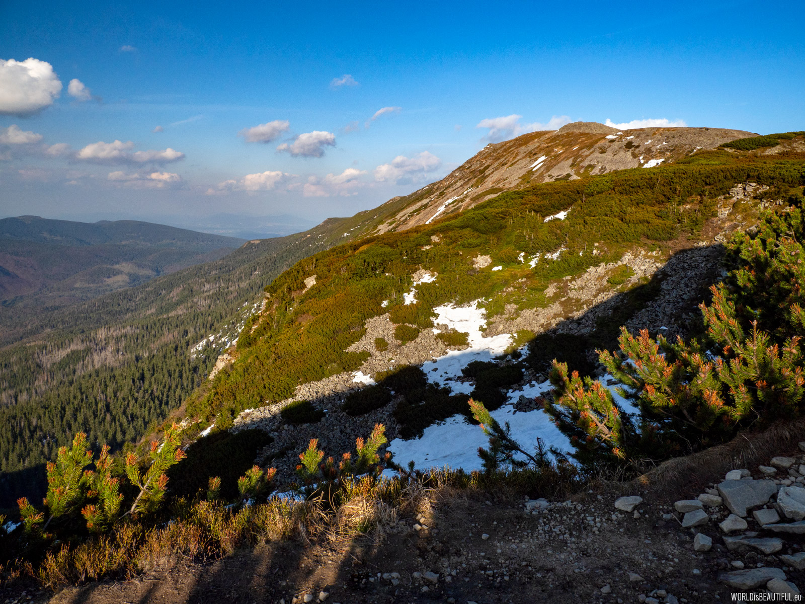
We went along the red trail from the Przełęcz Brona to the west towards Mała Babia Góra (1517 m). There is a beautiful view of the Diablak peak.
Picture number (ID): 1325 Google Map
The higher - the stronger the wind and the colder it gets. when we left the village in the valley there were about 15 Celcius degrees, but on the top of about zero C... It is worth having a lot of warm clothes with you. Fortunately, in addition to the fleece and jacket with a hood, I had 2 hats and gloves.
Picture number (ID): 1324 Google Map
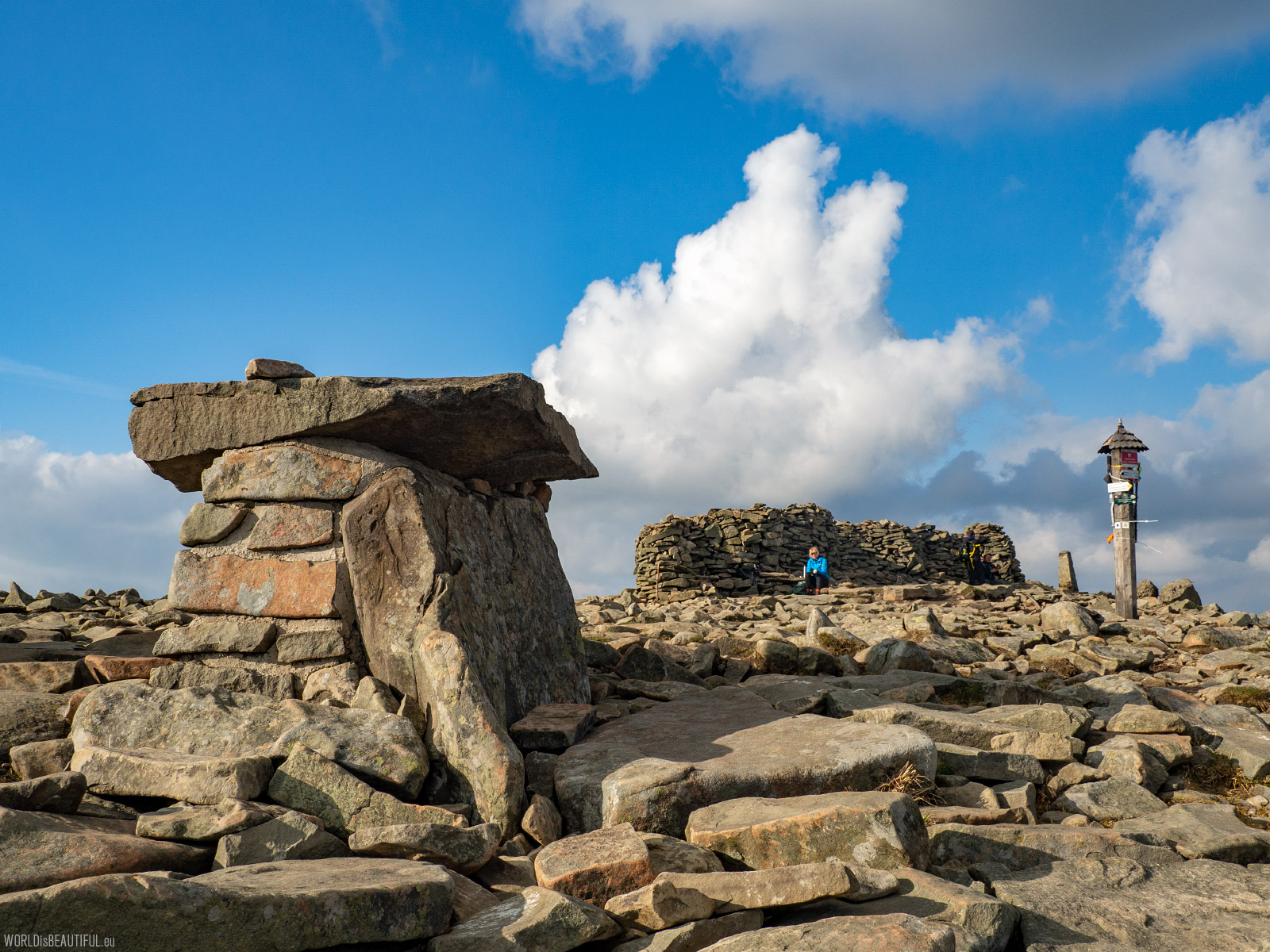
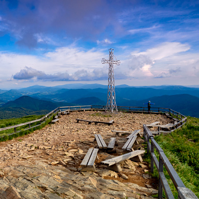
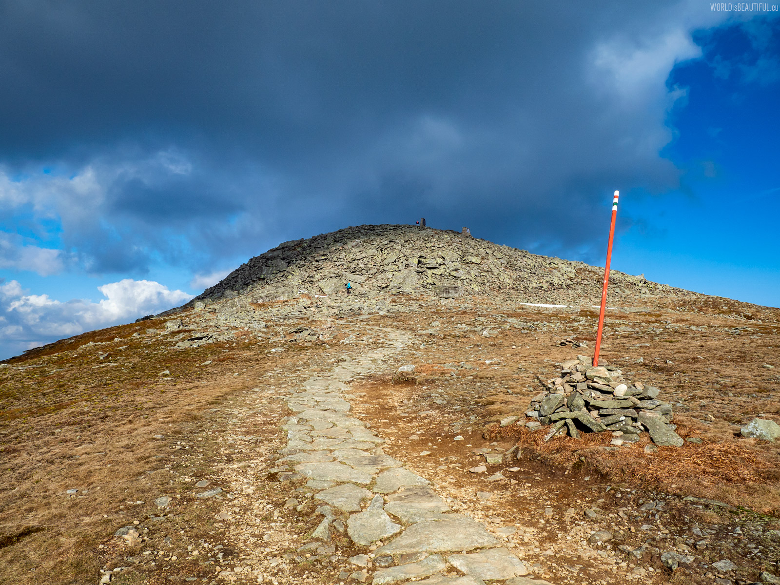
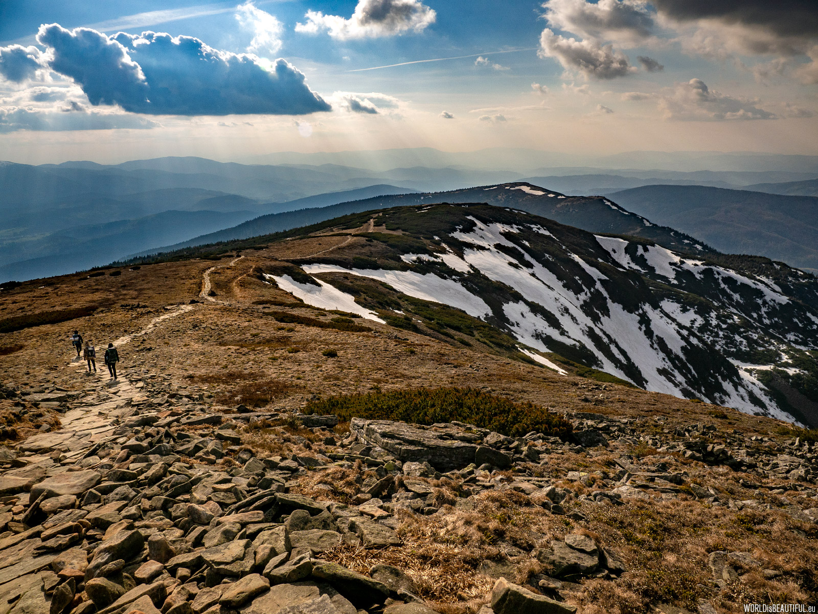
Diablak 1725 m this is the peak of Babia Góra. There was a very strong wind at the top. Fortunately, you can hide behind a stone wall.
Picture number (ID): 1323 Google Map
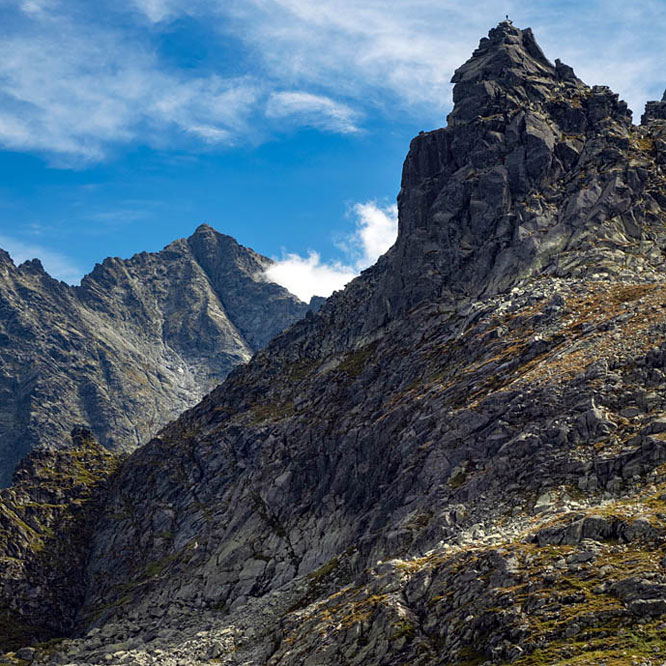
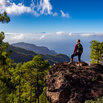
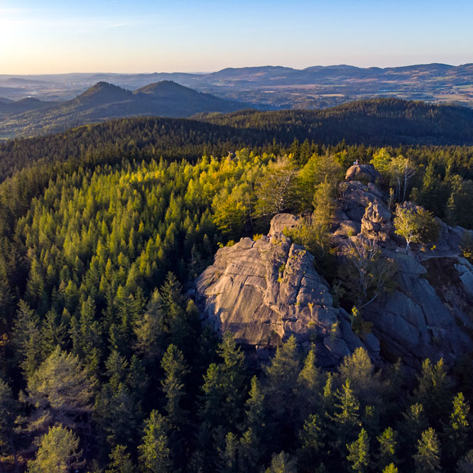
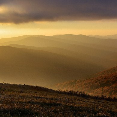
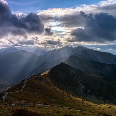
Views from the top of Diablak mountain
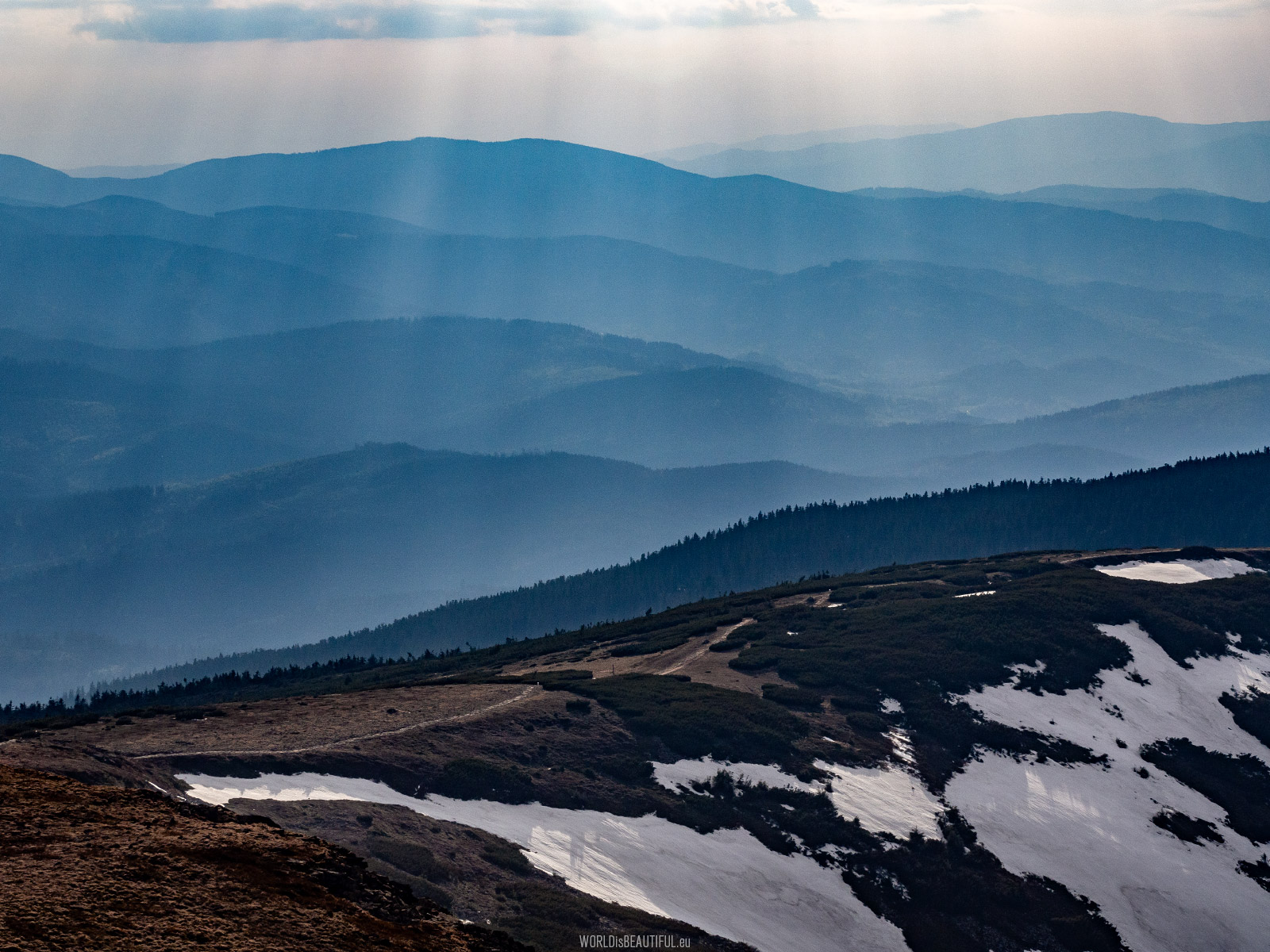
View from the top of Diablak to the west. We waited until late afternoon for the summit. The weather was variable during the day - sometimes the sun was shining and sometimes the sky was full of clouds. However, it cleared up in the evening and our waiting was rewarded with amazing views.
Picture number (ID): 1322 Google Map
Babiogórski National Park was founded in 1954 to protect nature around the Babia Góra massif. The area of the park is almost 34 km 2. There is a plant - Apiaceae (Laserpitium archangelica) in the logo of the park. This plant grows in Poland only in the Babiogórski National Park.
Picture number (ID): 1321 Google Map
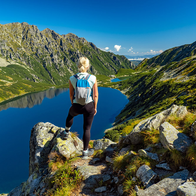
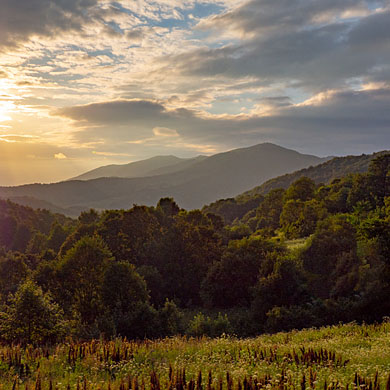
Evening light in the mountains ... For photography enthusiasts is a trap - you can not finish shooting and admiring the views... the dark is coming ... and home is still far away ...
Picture number (ID): 1320 Google Map
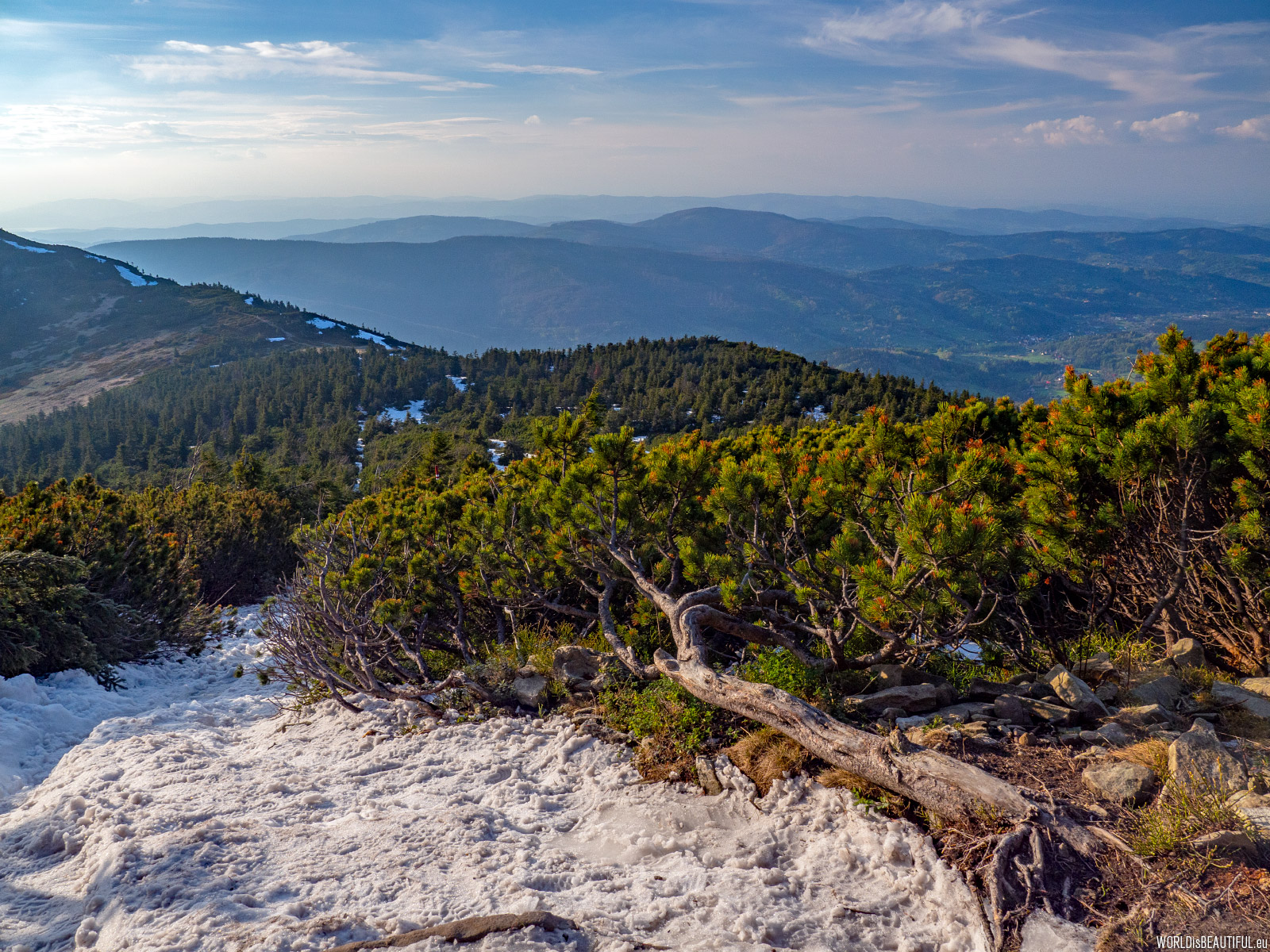
There are almost a meter of snow in the place on the trail. The temperature falls below zero C and the snow turns into ice in the evening... There is really slippery! But we do not hurry in such moments. We admire with each moment more saturated colors and longer shadows ...
Picture number (ID): 1319 Google Map
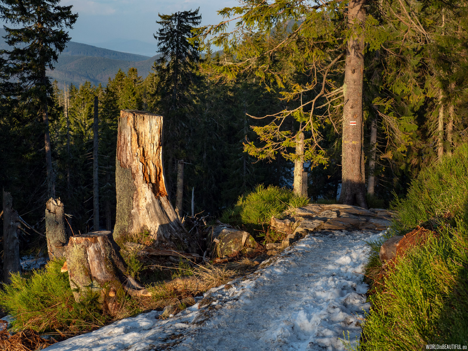
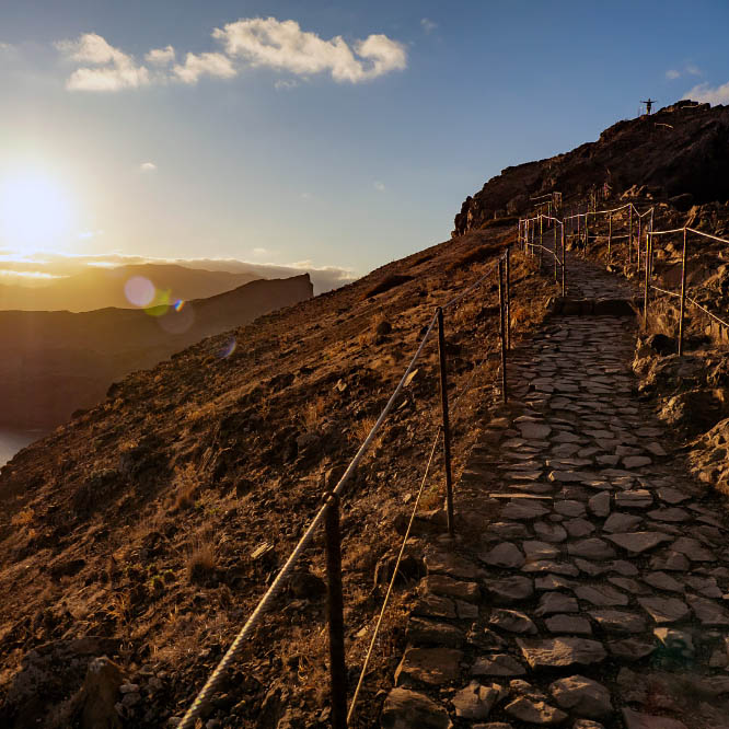
The red trail from the Brona pass
Night is coming - a quick walk along the red trail from the Brona Pass to the mountain hostel for a quick supper and return to Zawoja. It was a beautiful day and an amazing evening.
In the further part of this photorelation are pictures from our first (cloudy - misty - rainy) trek to the Diablak from Krowiarki Pass. Only two days earlier, but what a huge difference in weather conditions ...
Picture number (ID): 1318 Google Map
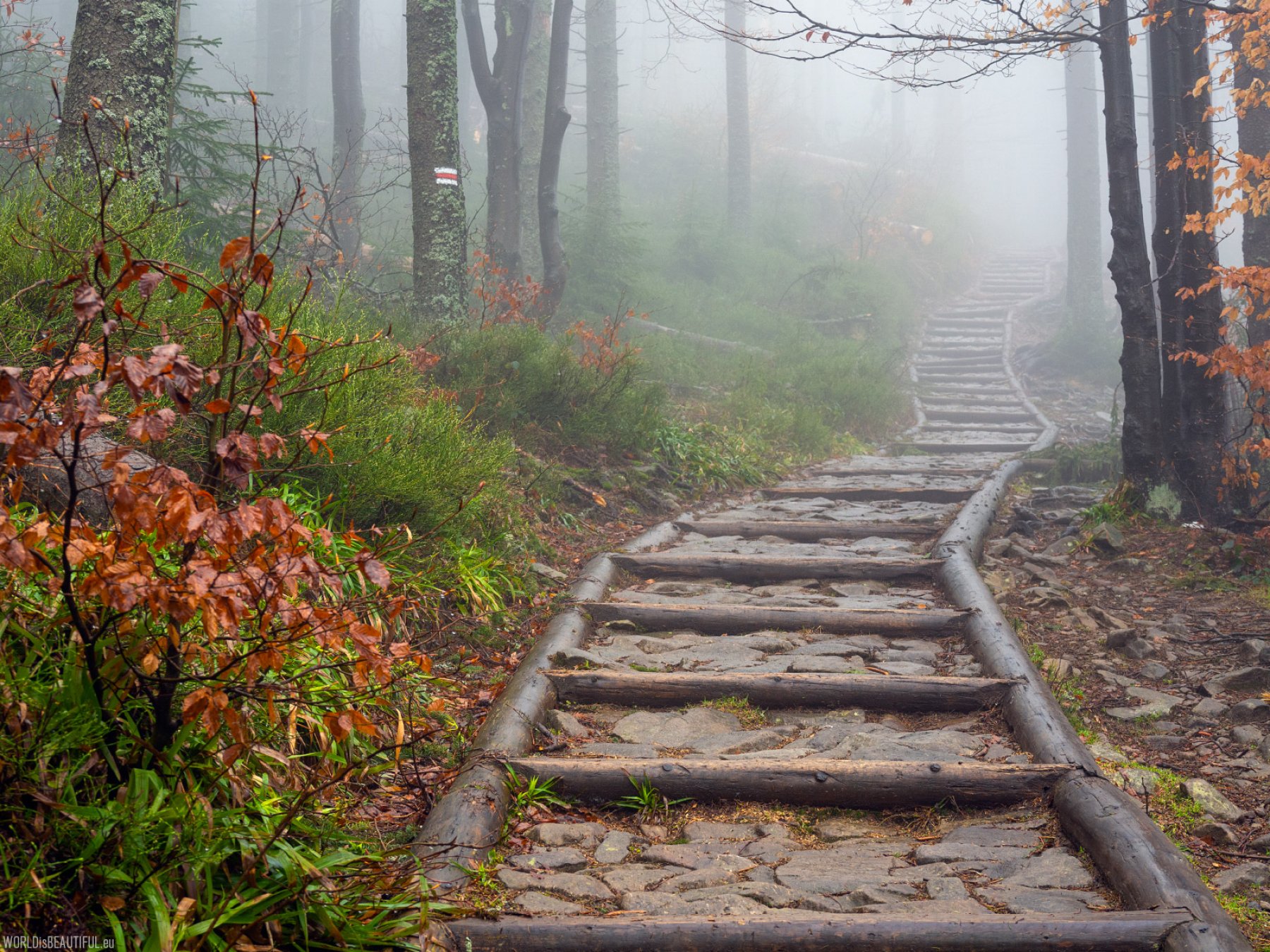
After two days of waiting for better weather, we decided that if it's almost not raining then we have to go to the mountains. We chose a short route from the Krowiarki Pass to Diablak and back. After paying for "entering the forest" at the ticket office of Babia Góra National Park, we went along the red trail.
Picture number (ID): 1332 Google Map
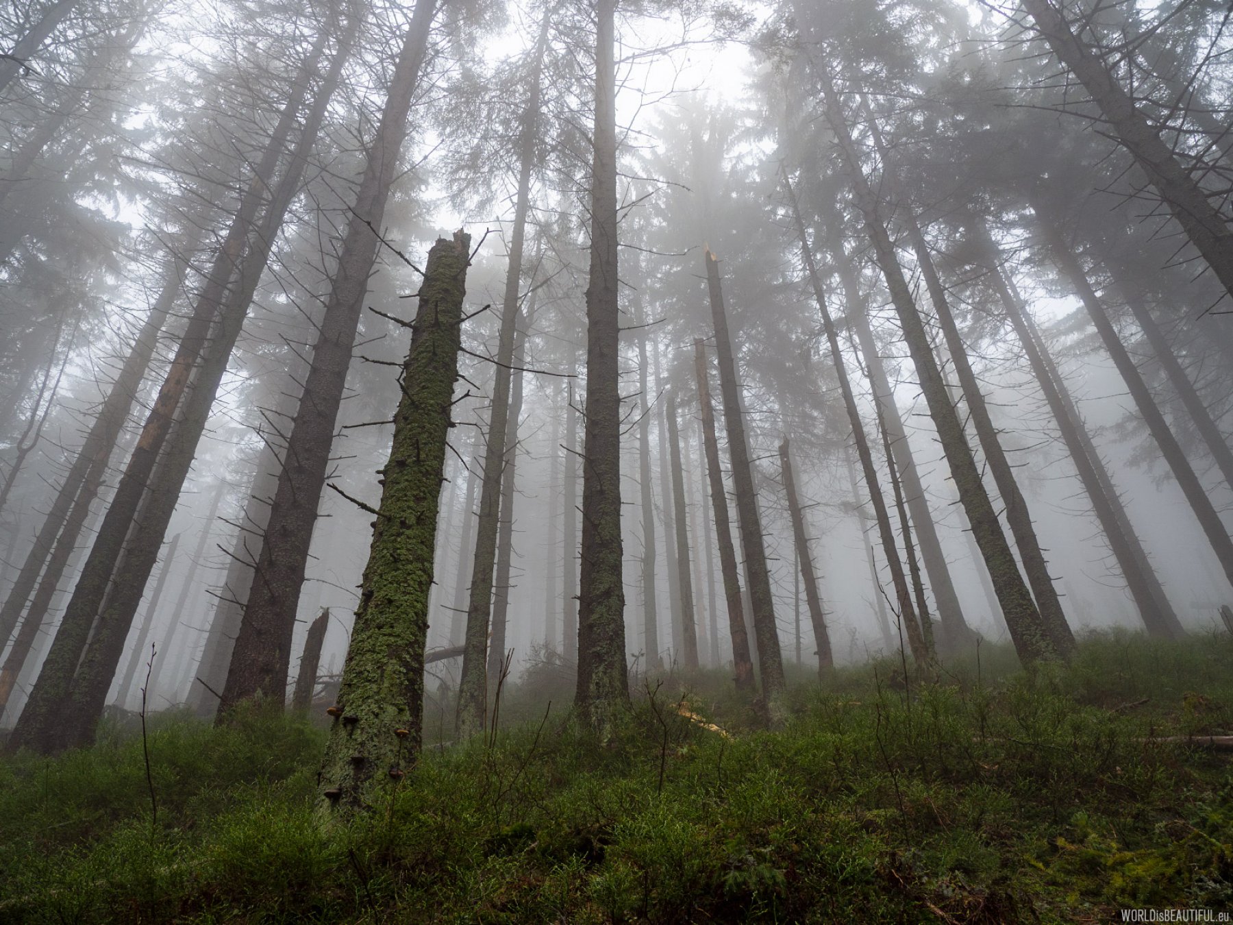
The higher - the more clouds... there was no wind that day ...quiet and foggy forest hides secrets ...
Picture number (ID): 1334 Google Map
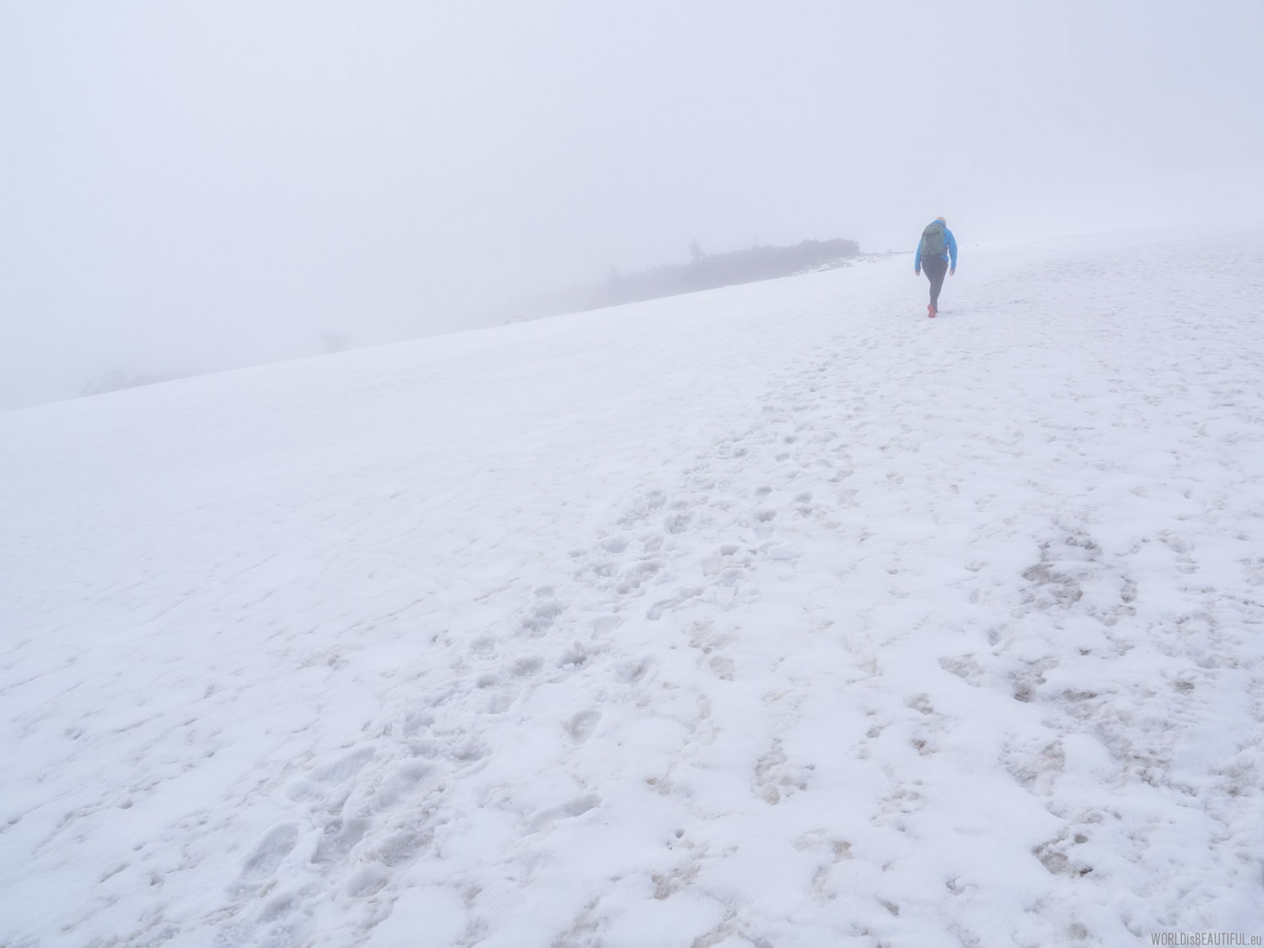
After leaving the forest white surrounded us - at the bottom of the snow and the fog above ... Winter does not leave this mountain until May ...
Picture number (ID): 1333 Google Map
There you can see the peak of Babia Góra - Diablak 1725 m in the mist.
Picture number (ID): 1335 Google Map
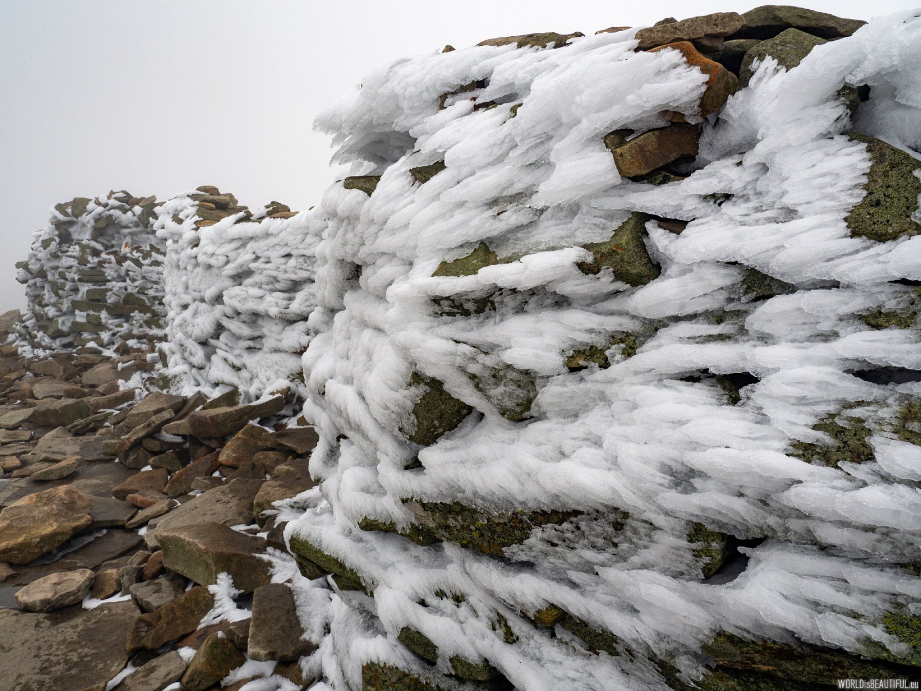
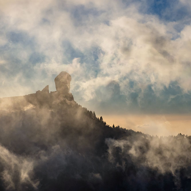
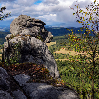
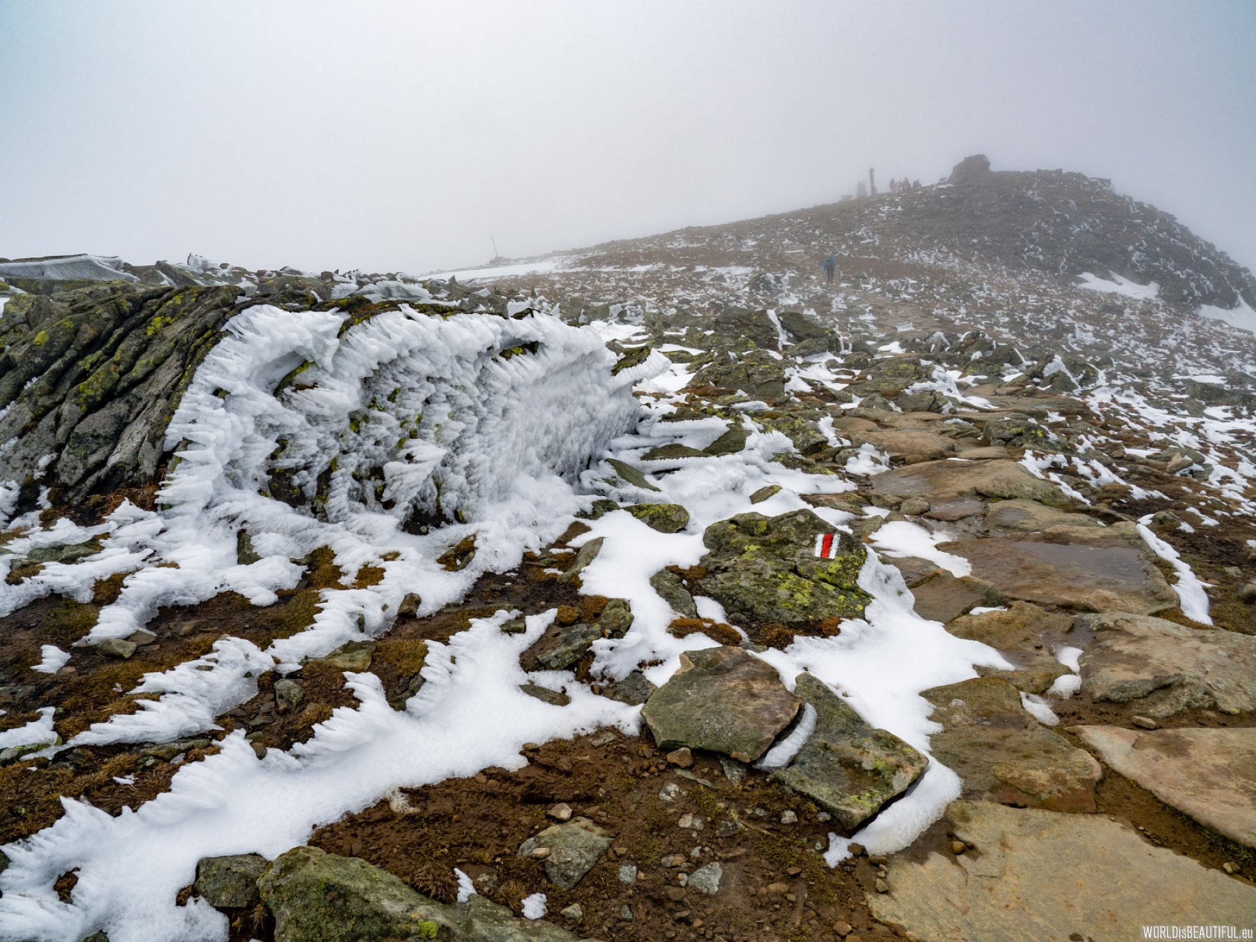
Are these the ruins of the legendary castle at the top of Diablak? According to old stories, the Devil built here an castle for a highwayman... And what's interesting is that on the Devil's Mountain (on the old German maps called Teufelspitze) there is also a stone altar ...
Picture number (ID): 1336 Google Map
Find an apartment
See other galleries: