Photo Gallery » Kozia Przełęcz and Zawrat
Trekking from the Shelter in the Dolinie Pięciu Stawów (Valley of Five Polish Ponds) through Kozia Przełęcz to the Dolina Gąsienicowa, a short rest at the Murowaniec shelter and return via Zawrat. Length of the route: 15.3 km, time is about 8 hours; the sum of ascents and descents 1387 m. A very interesting route and rather medium difficult, although there are quite a lot of chains at the entrance to Zwarat. The trail can be seen on the map: https://mapa-turystyczna.pl/route/qkv3.


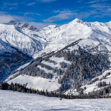
Beautiful weather in the Tatras
Morning in the valley Dolina Pięciu Stawów Polskich - beautiful weather and great conditions for trekking.
Picture number (ID): 1847 Google Map
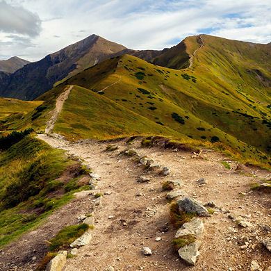
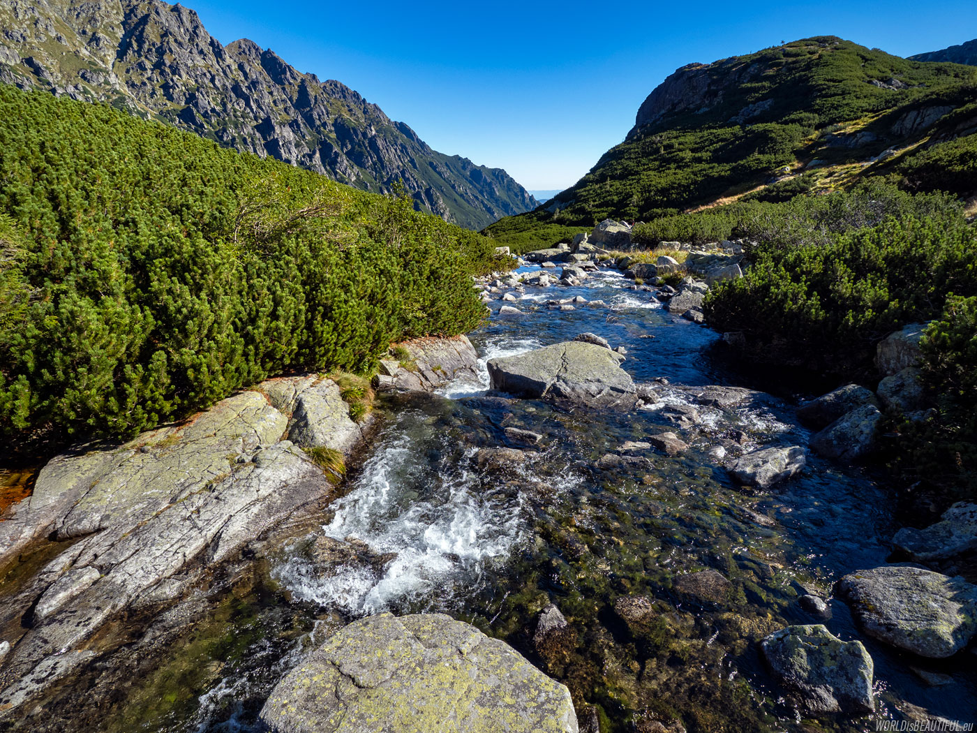
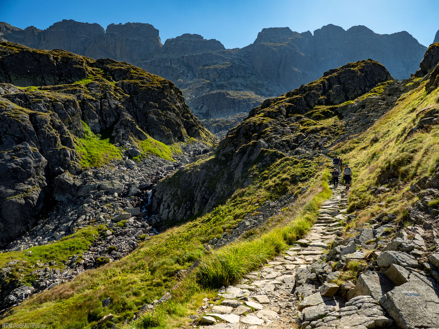
We went in the morning from the Hut in the Valley of Five Polish Ponds along the blue trail. We turned right onto the yellow trail leading to Kozia Przełęcz after about 20 minutes of walking.
Picture number (ID): 1846 Google Map
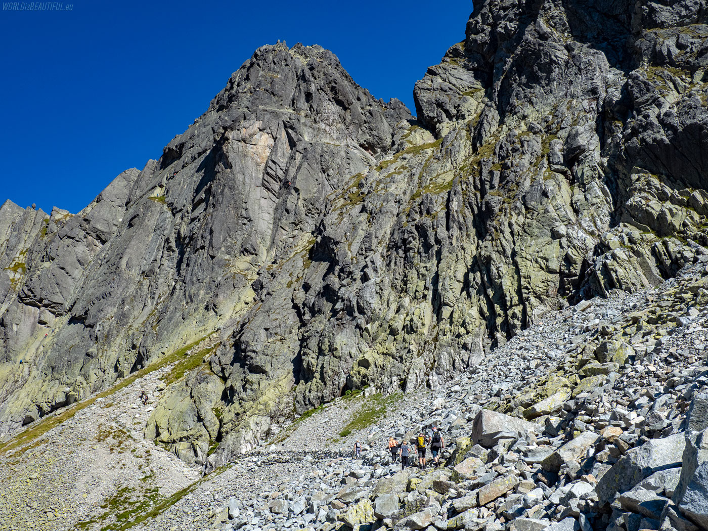
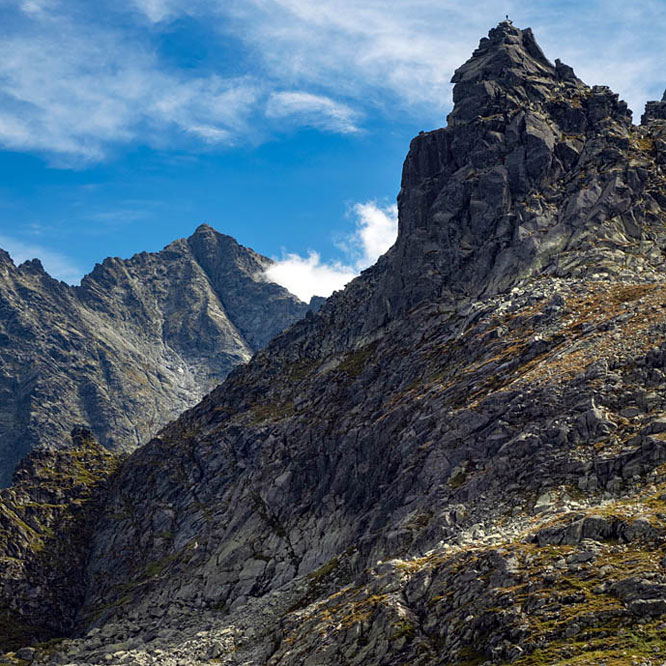
Southern face of Zamarła Turnia
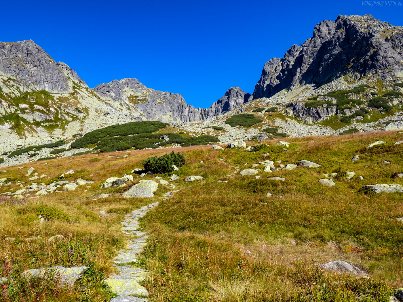
We go to the pass. There, the impressive rocky walls of Zamarła Turnia appeared in front of us.
Picture number (ID): 1845 Google Map
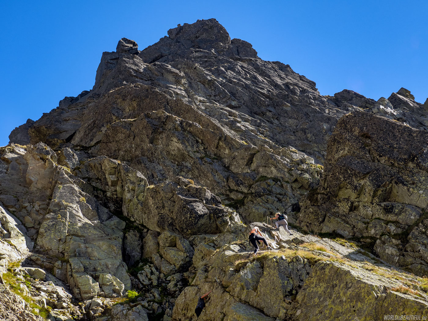
The first difficulties on the mountain trail and artificial facilities - chains and ladders.
Picture number (ID): 1844 Google Map
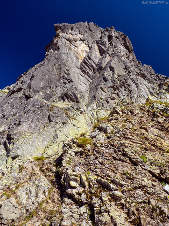
This wall is impressive - if you look closely, you will see mountaineers climbing on it. The red trail - Orla Perć - runs along the northern wall of Zamarła Turnia. In the section from Zawrat to Kozi Wierch, the trail is one-way (from west to east).
Picture number (ID): 1843 Google Map
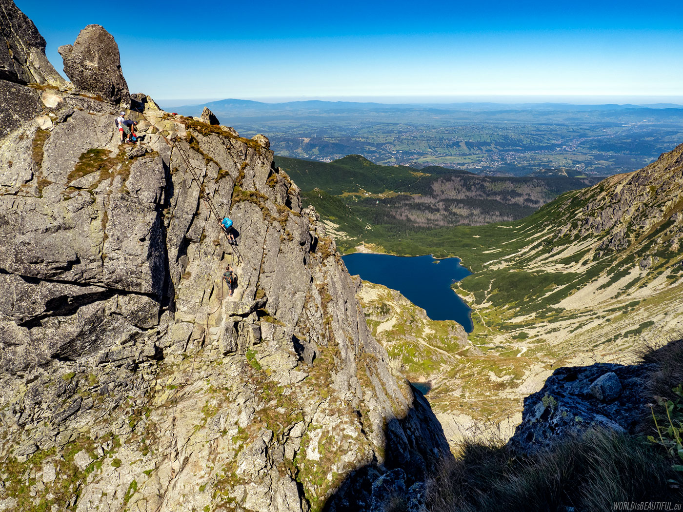
The legendary metal ladder on Orla Perć - descent from Zamarła Turnia to the Kozia Przełęcz. When following the yellow trail from the valley Dolina Pięciu Stawów Polskich to Dolina Gąsienicowa you must be careful not to enter the red trail.
Picture number (ID): 1842 Google Map
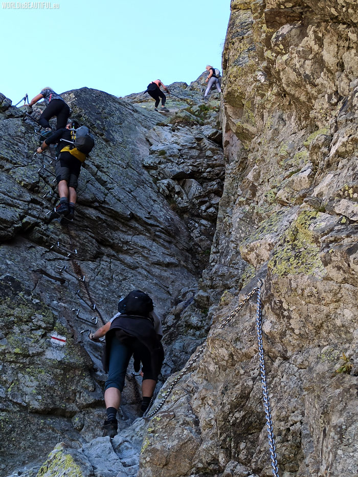
Orla Perć is the most difficult hiking trail in Poland. It is better not to climb it if you do not have experience with hiking in the mountains and you are afraid of high heights. It is worth wearing a helmet on your head (because sometimes stones can fall) and gloves to protect your hands from chains and rocks.
Picture number (ID): 1841 Google Map
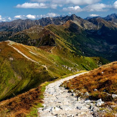
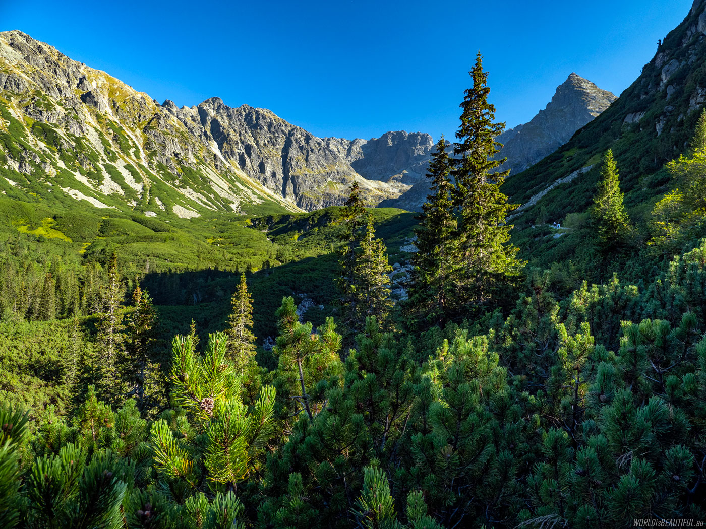
The trail to the Gasienicowa Valley
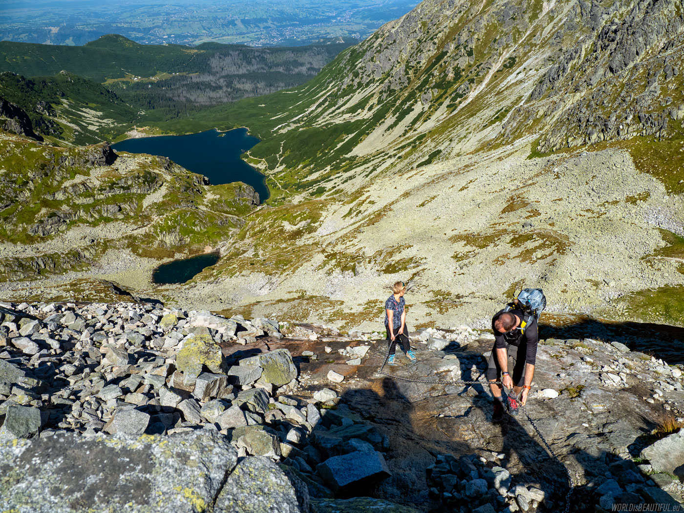
We followed the yellow trail to the Gąsienicowa Valley after crossing Kozia Przełęcz. There are also a few more difficult places secured with chains on the descent.
Picture number (ID): 1840 Google Map
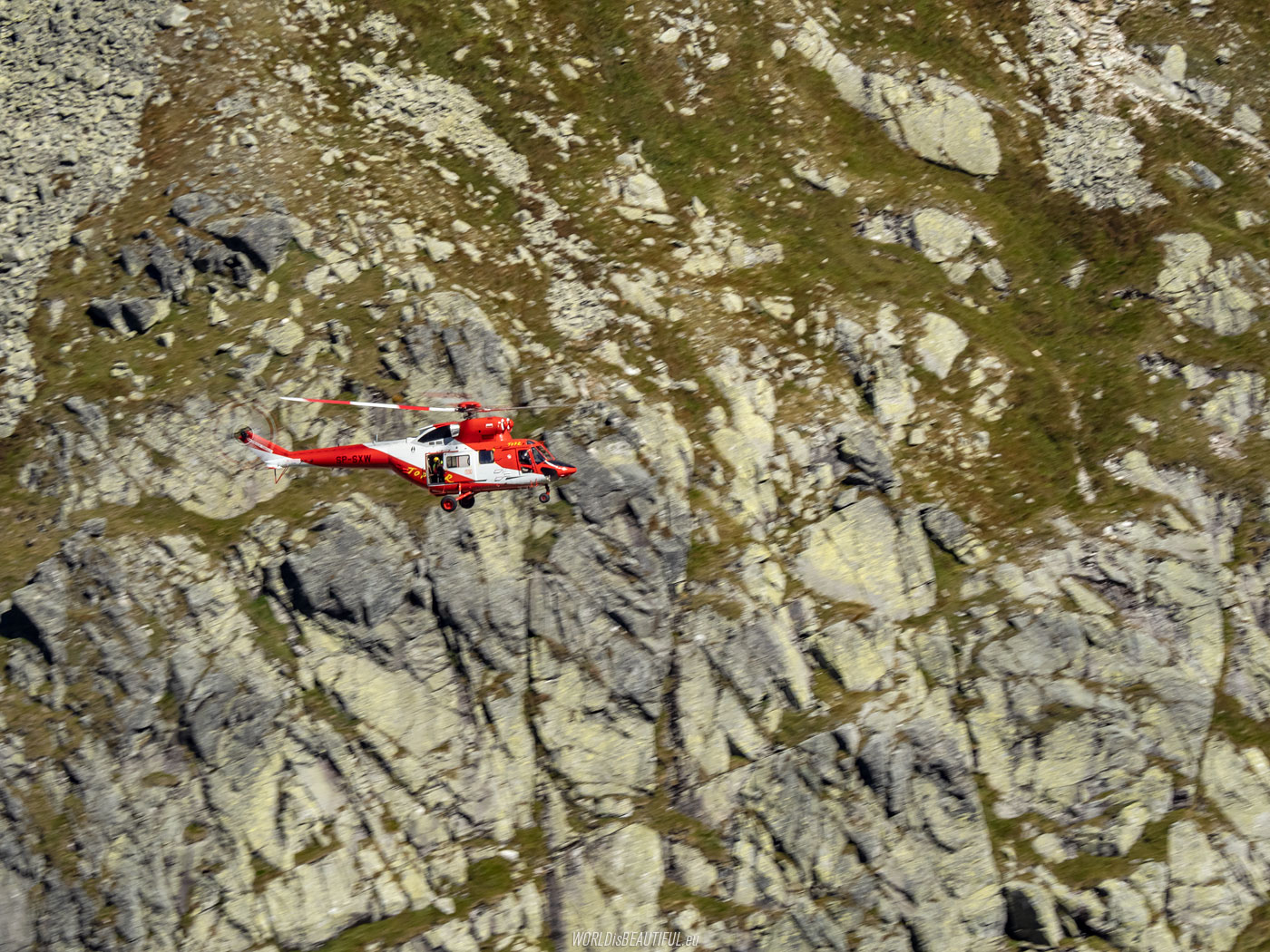
An accident on Orla Perć and a TOPR helicopter
We have seen the TOPR helicopter many times during several days in the Tatra Mountains. This time it was a rescue operation on the slopes of Kozi Wierch. Rescuers helped the injured in an accident on Orla Perć.
Picture number (ID): 1839 Google Map
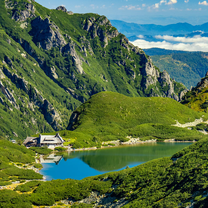
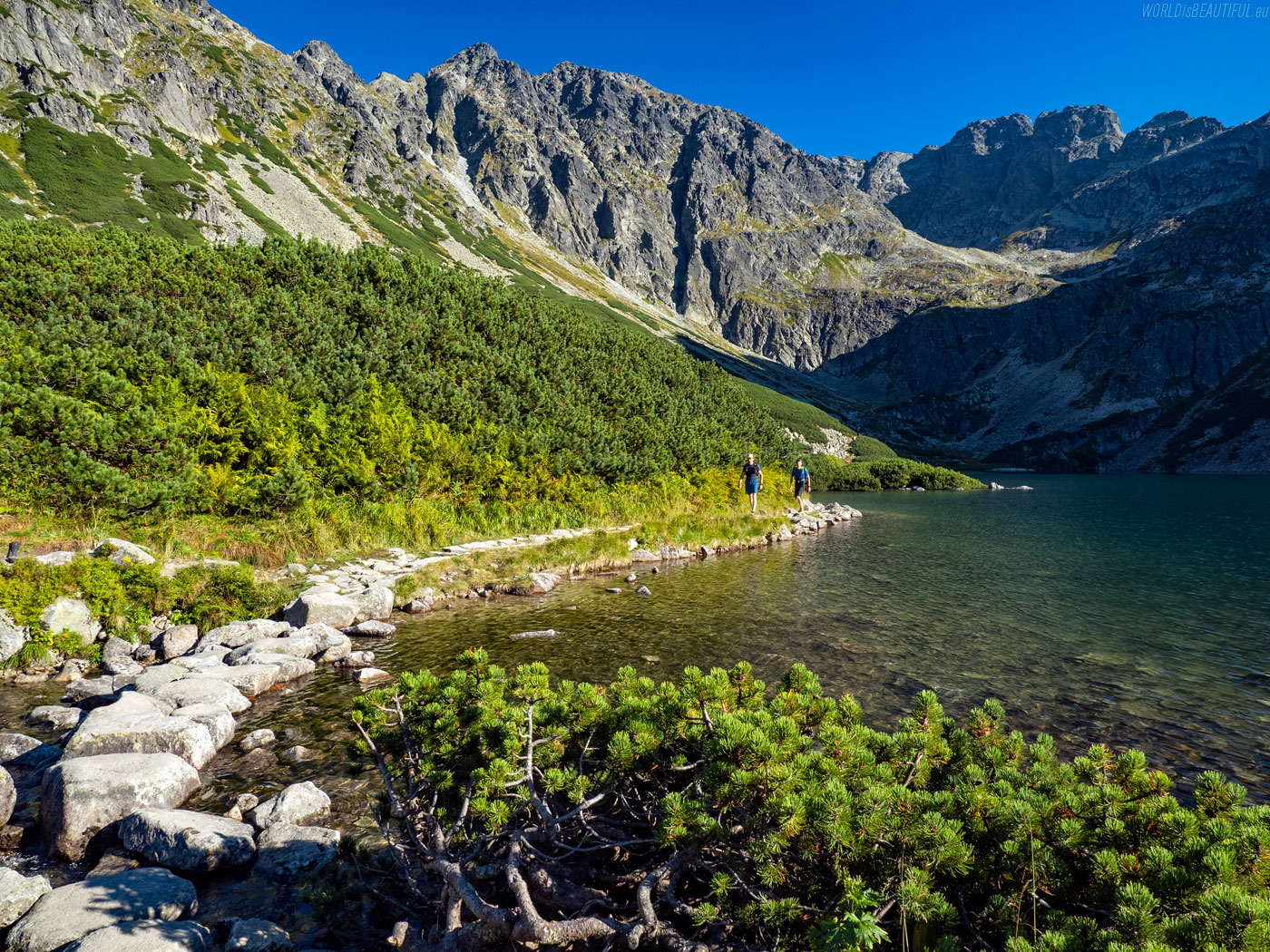
Niebieski szlak do Schroniska Murowaniec
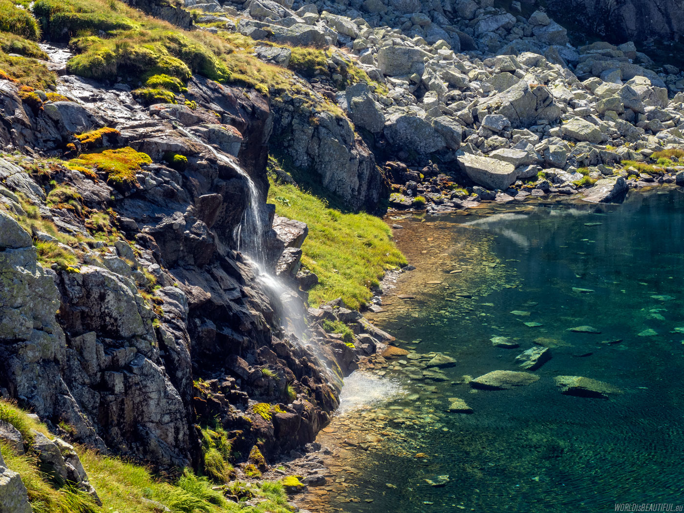
Behind the Zmarzły Staw we went along the blue trail to Hala Gąsienicowa to the Murowaniec shelter.
Picture number (ID): 1837 Google Map
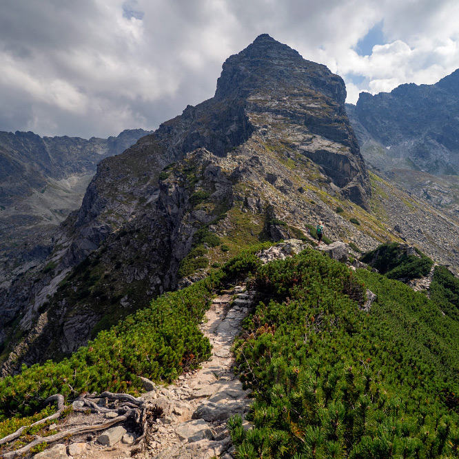
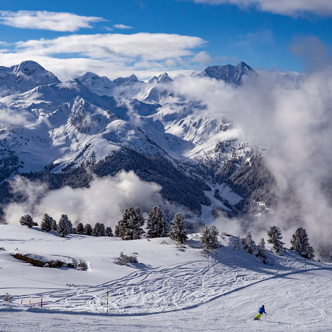
Postcard from the Tatra Mountains
The landscapes in the High Tatras are stunning. Perfect frames for postcards! The photo shows Orla Perć and the characteristic pyramid Kościelec.
Picture number (ID): 1836 Google Map
We went back after a rest at the Murowaniec Shelter on Hala Gąsienicowa. We chose the blue trail through the Zawrat Pass to the valley: Dolina Pięciu Stawów.
Picture number (ID): 1835 Google Map
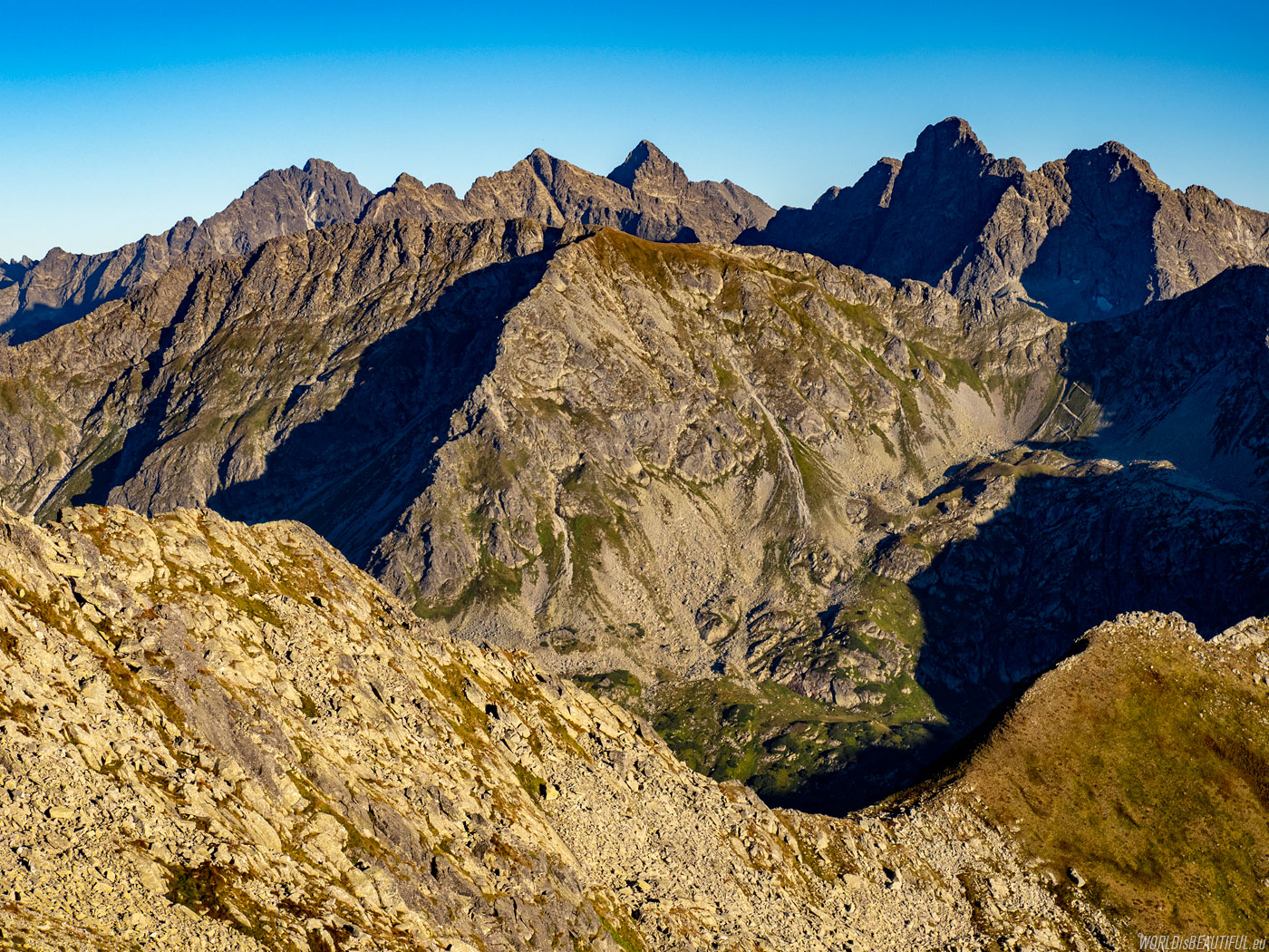
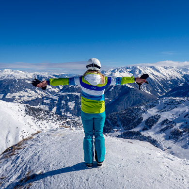
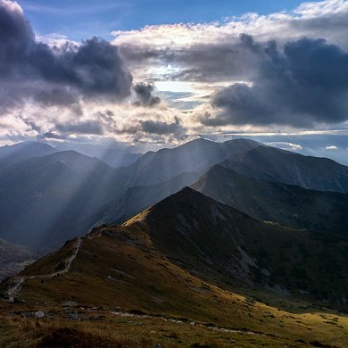
Zawrat Pass - panorama of the Tatra Mountains
A view from the Zawrat Pass (2159 m) to the panorama of the highest Tatra Mountains. There are mountains in the distance from the left: Gerlach (2655 m), Niżne Rysy (2430 m), Rysy (2501 m), Wysoka (2559 m), Mięguszowiecki Szczyt Wielki (2438 m) and Cubryna (2376 m).
Picture number (ID): 1834 Google Map
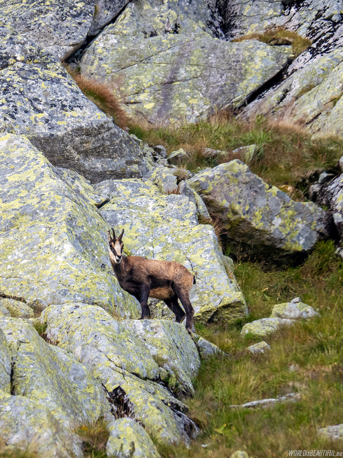
We saw the Tatra chamois (Rupicapra rupicapra tatrica) on the rocky slopes of the mountain after crossing the Zawrat Pass.
Picture number (ID): 1833 Google Map
Find an apartment
See other galleries: