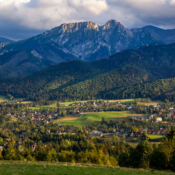
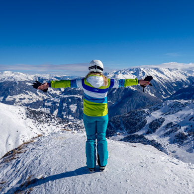
Photo Gallery » Kasprowy Wierch, Western Tatras
Kasprowy Wierch (1987 m high) is one of the most visited peaks in the Tatra Mountains. There are several tourist routes to Kasprowy Wierch and you can also go up by cable car. We went to this famous and crowded mountain along the green trail from Kuźnice. On our way back we went through Hala Gąsienicowa. The entire route (up and down) is 13.8 km and, according to the markings on the map, it takes less than 6 and a half hours. The sum of the ascent and descent is 1096 m.


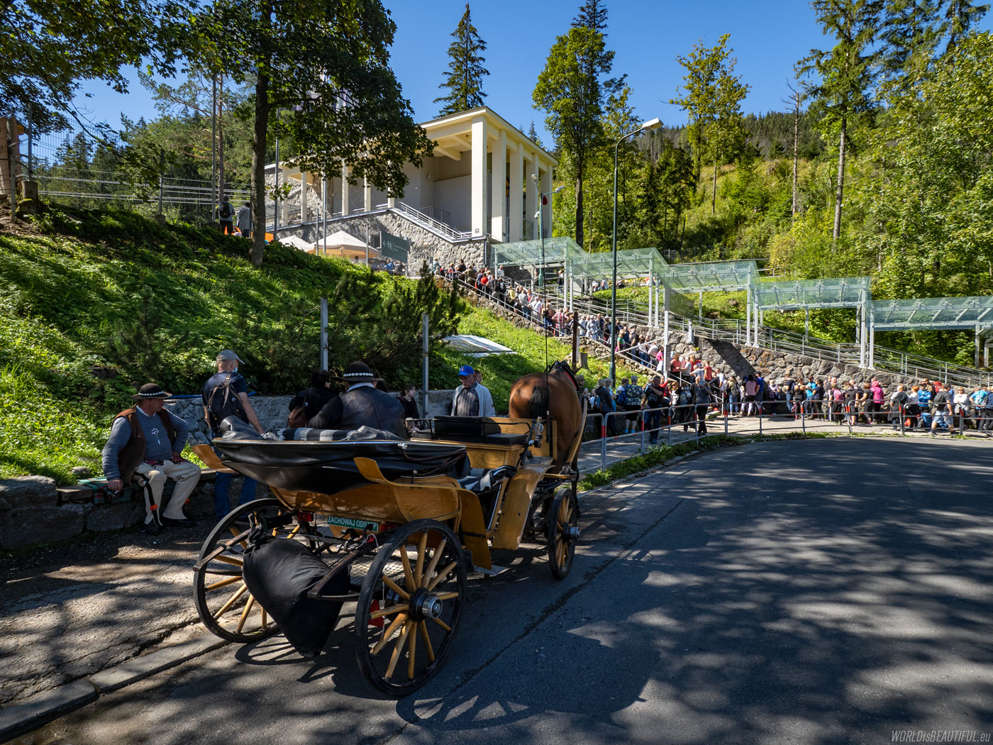
People waiting for the cable car
We arrived in Zakopane on Thursday evening. We went to Kasprowy Wierch on Friday morning. There was a queue in Kuźnice, next to the Cable Railway to Kasprowy ...
Picture number (ID): 1890 Google Map
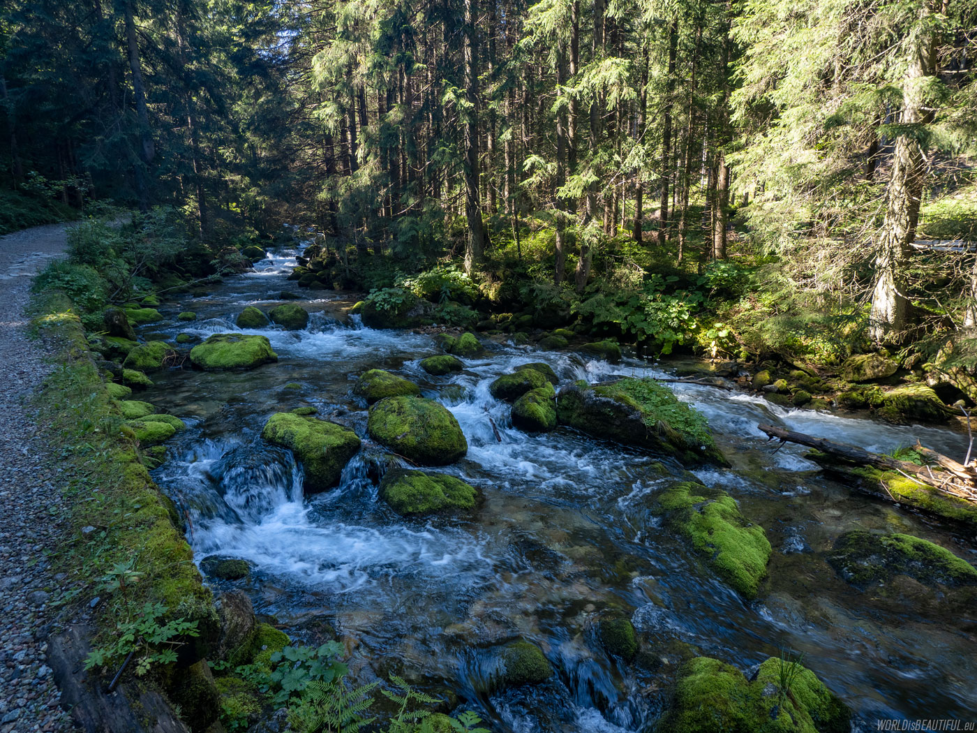
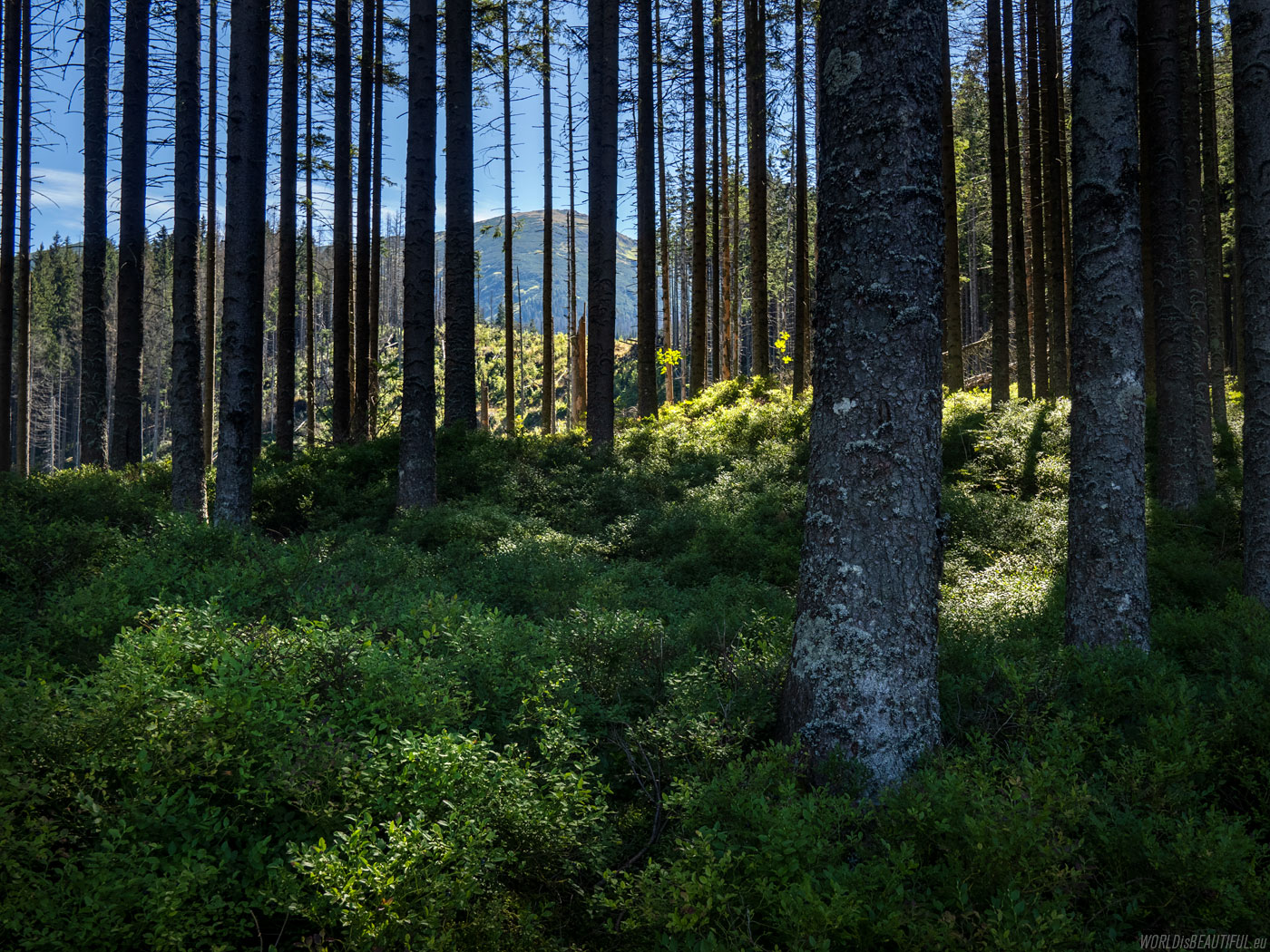
People practically disappeared a moment after entering the trail - many more tourists chose the cable car ... and here by the trail such beautiful views ...
Picture number (ID): 1889 Google Map
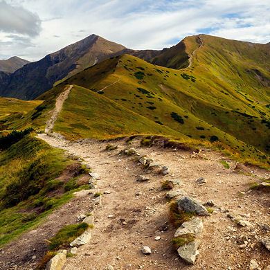
The green trail to Kasprowy Wierch
The green trail from Kuźnice to Kasprowy Wierch is almost 6.5 kilometers long and was supposed to take 3 hours. We went in just over two.
Picture number (ID): 1888 Google Map
Mountain landscape with Giewont from the hiking trail above the cable car transfer station, we go up, the views begin ...
Picture number (ID): 1887 Google Map
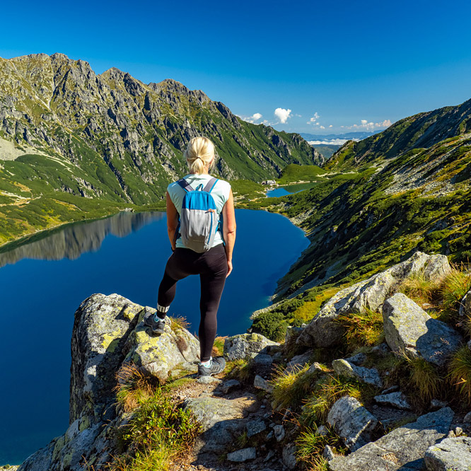
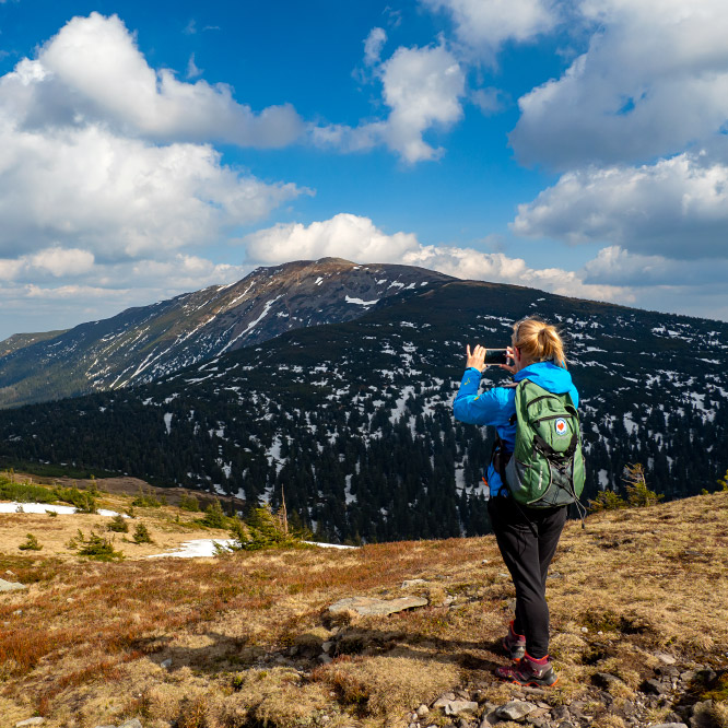
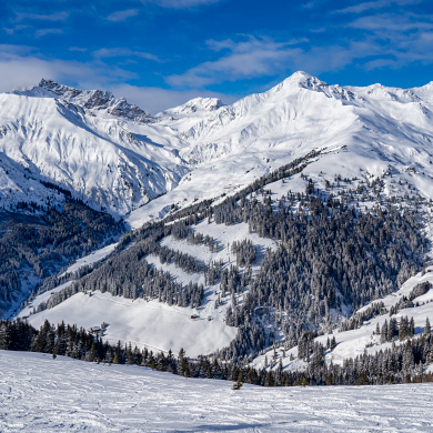
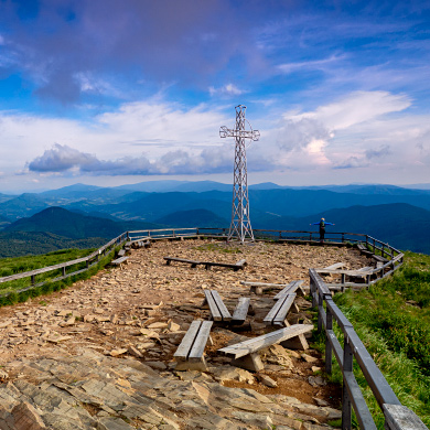
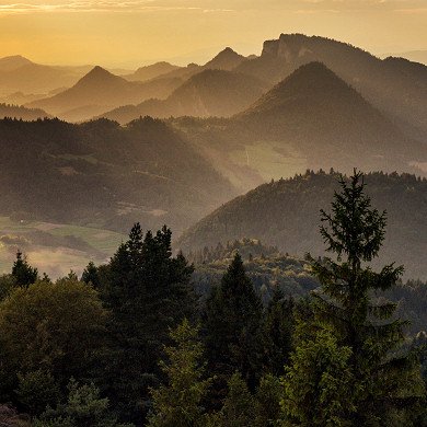
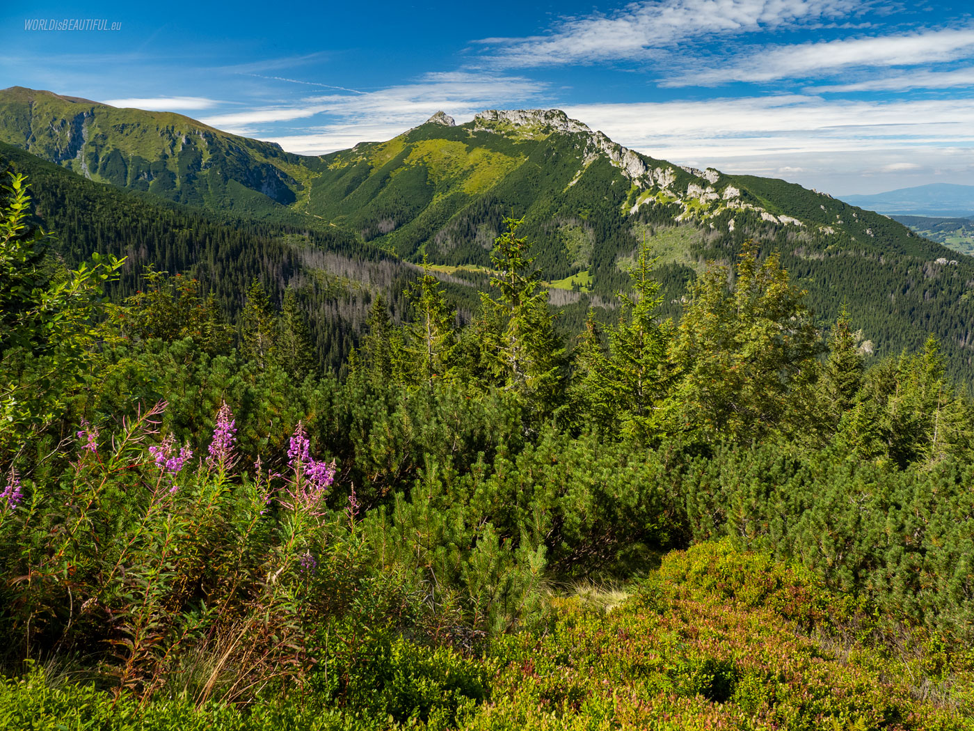
Western Tatras view from Kasprowy Wierch
The mountains are beautifully visible from above ... A view to the west from the slopes of Kasprowy Wierch.
Picture number (ID): 1886 Google Map
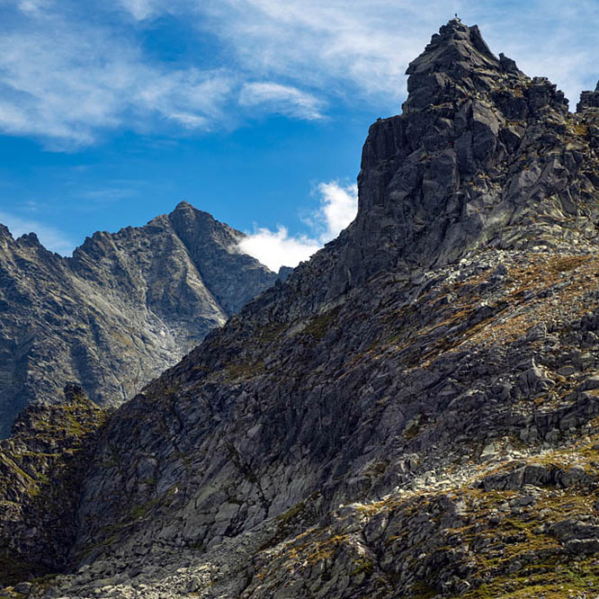
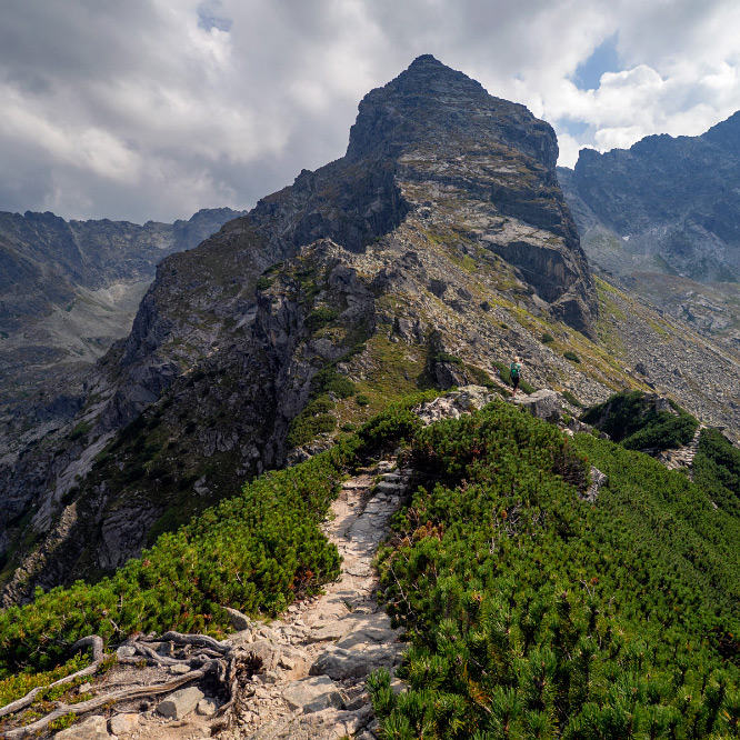
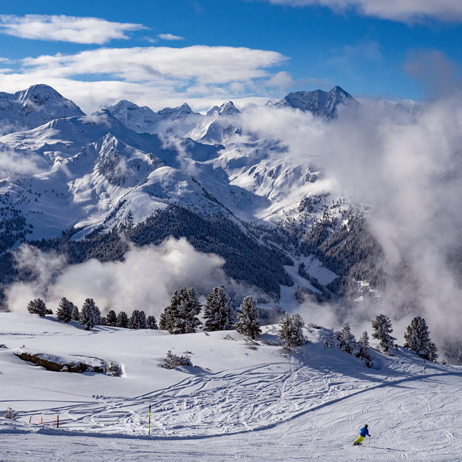
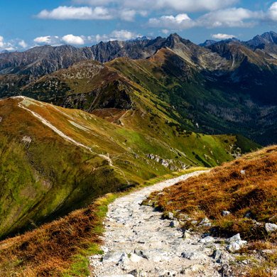
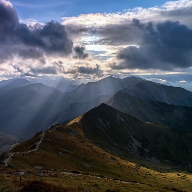
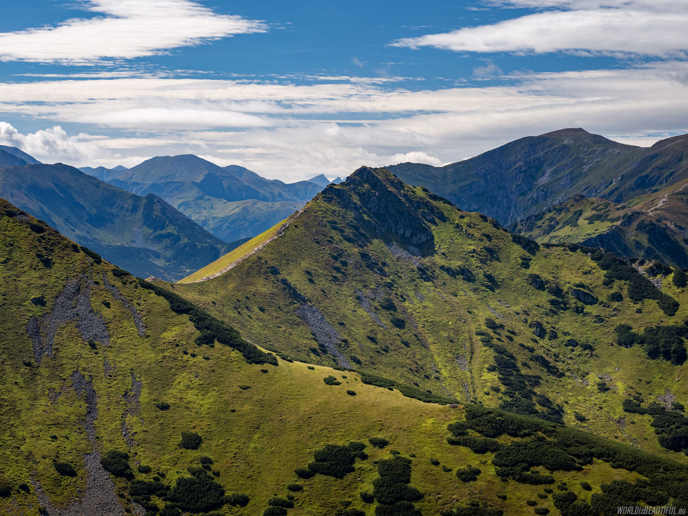
Red trail from Kasprowy Wierch
There is a red trail from Kasprowy Wierch to Czerwone Wierchy to the west along the ridge.
Picture number (ID): 1884 Google Map
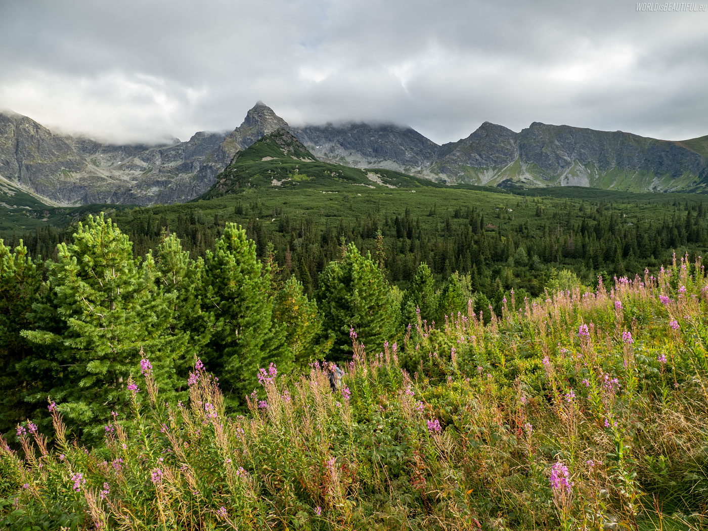
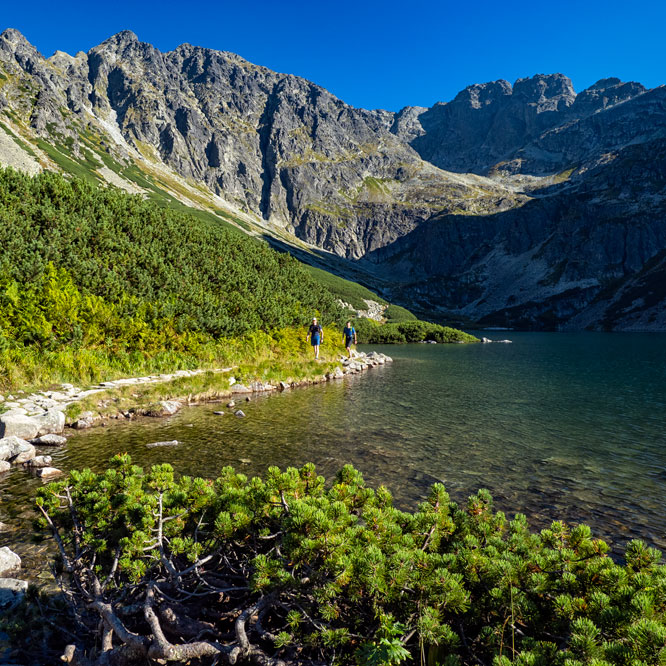
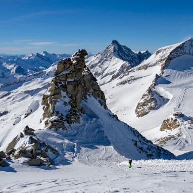
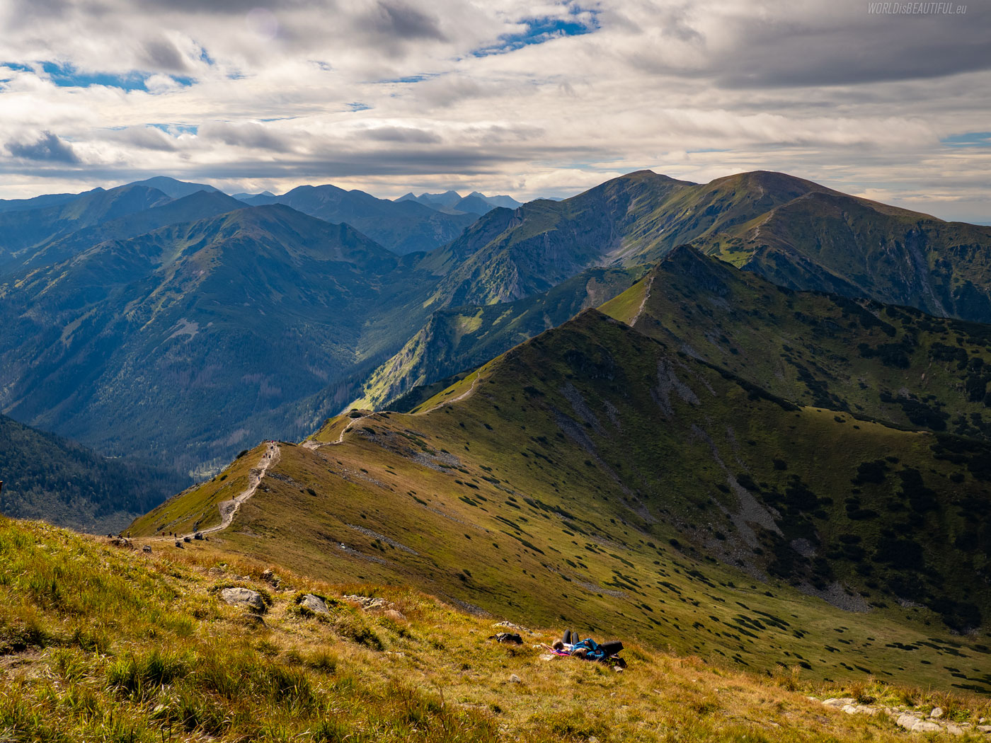
Going down the yellow trail to the Valley Gąsienicowa
We went down the yellow trail to the Gąsienicowa Valley. The triangular rock on the left is Kościelec.
Picture number (ID): 1883 Google Map
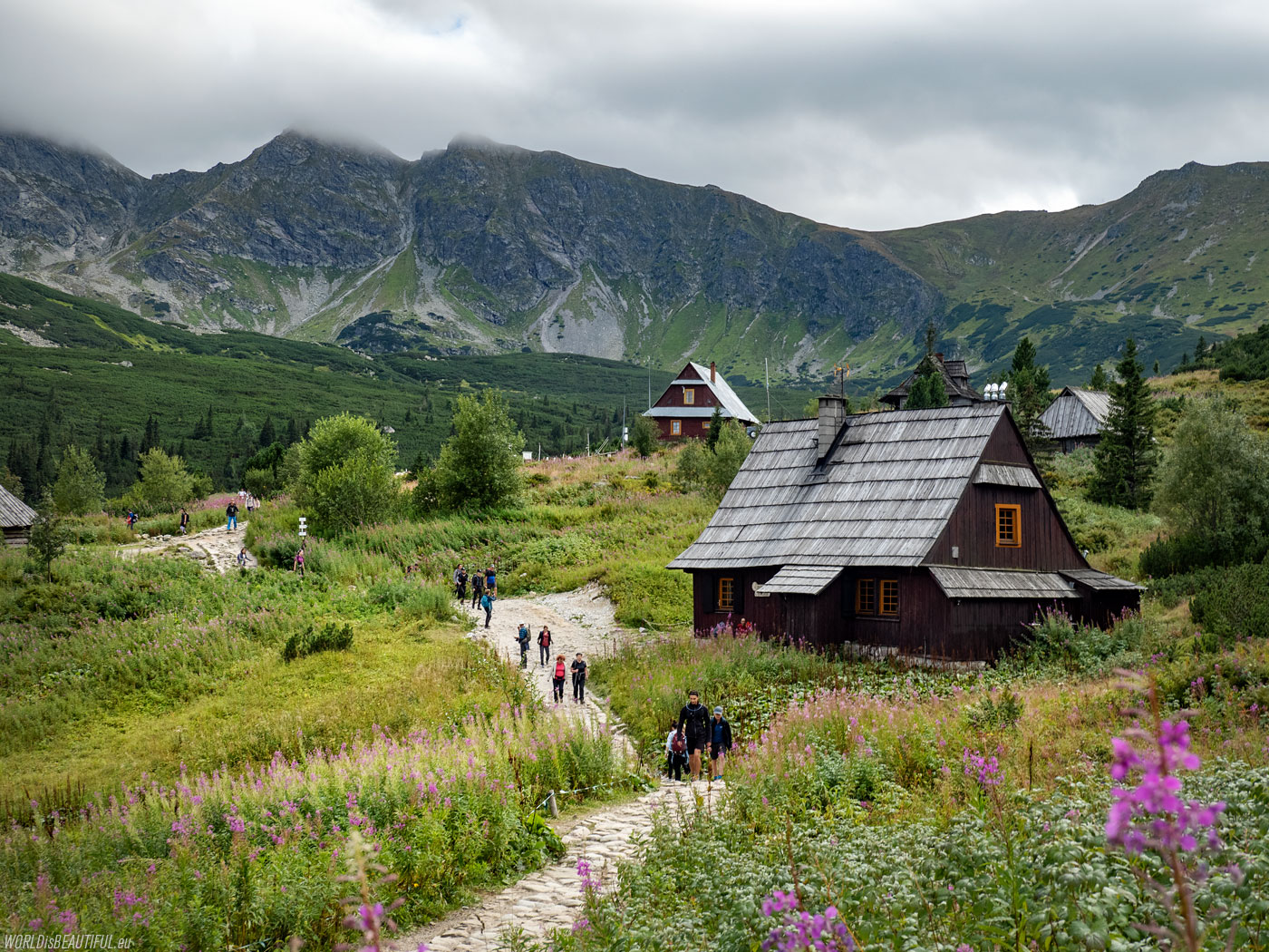
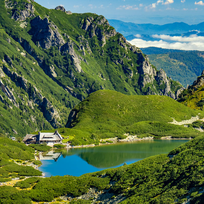
Shepherd's huts in Hala Gąsienicowa
The sun was shining beautifully in the morning but in the afternoon the clouds came and the wind started to blow.
Picture number (ID): 1882 Google Map
We went down the blue trail from Hala Gąsienicowa to Kuźnice. The Nosal mountain can be seen very well from the route.
Picture number (ID): 1881 Google Map
Find an apartment
See other galleries: