Photo Gallery » Valley of Five Ponds
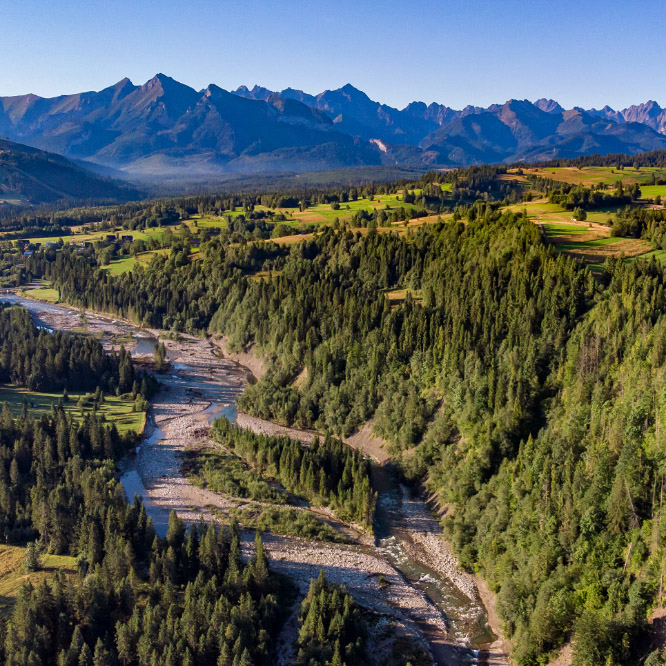
The Valley of the Five Polish Ponds is a beautiful alpine, glacial valley in the High Tatras in Poland. The valley is 4 km long and 2 km wide. We spent a few days admiring the nature and climbing the nearby peaks and passes in this magical mountain land. We climbed Szpiglasowy Wierch, Wrota Chałubińskiego, visited Morskie Oko, passed through the Kozia Pass to the Gąsienicowa Valley, climbed Zawrat and even went on the most difficult hiking trail in Poland - Orla Perć.


The route from Palenica Białczańska
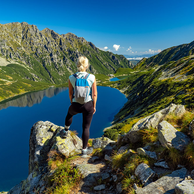
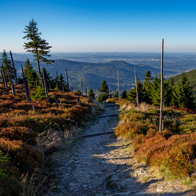
We went to the Valley of Five Polish Ponds along the red trail from Palenica Białczańska - the same trail leading to Morskie Oko. The route from Palenica Białczańska to the Shelter in the Five Ponds Valley is 7.5 km long, the height difference is 771 m, and the walking time is less than 3 hours.
Picture number (ID): 1817 Google Map
The green trail in the Roztoka Valley
We turned right onto the green hiking trail to the Roztoka Valley behind the "Wodogrzmoty Mickiewicza" waterfall.
Picture number (ID): 1816 Google Map
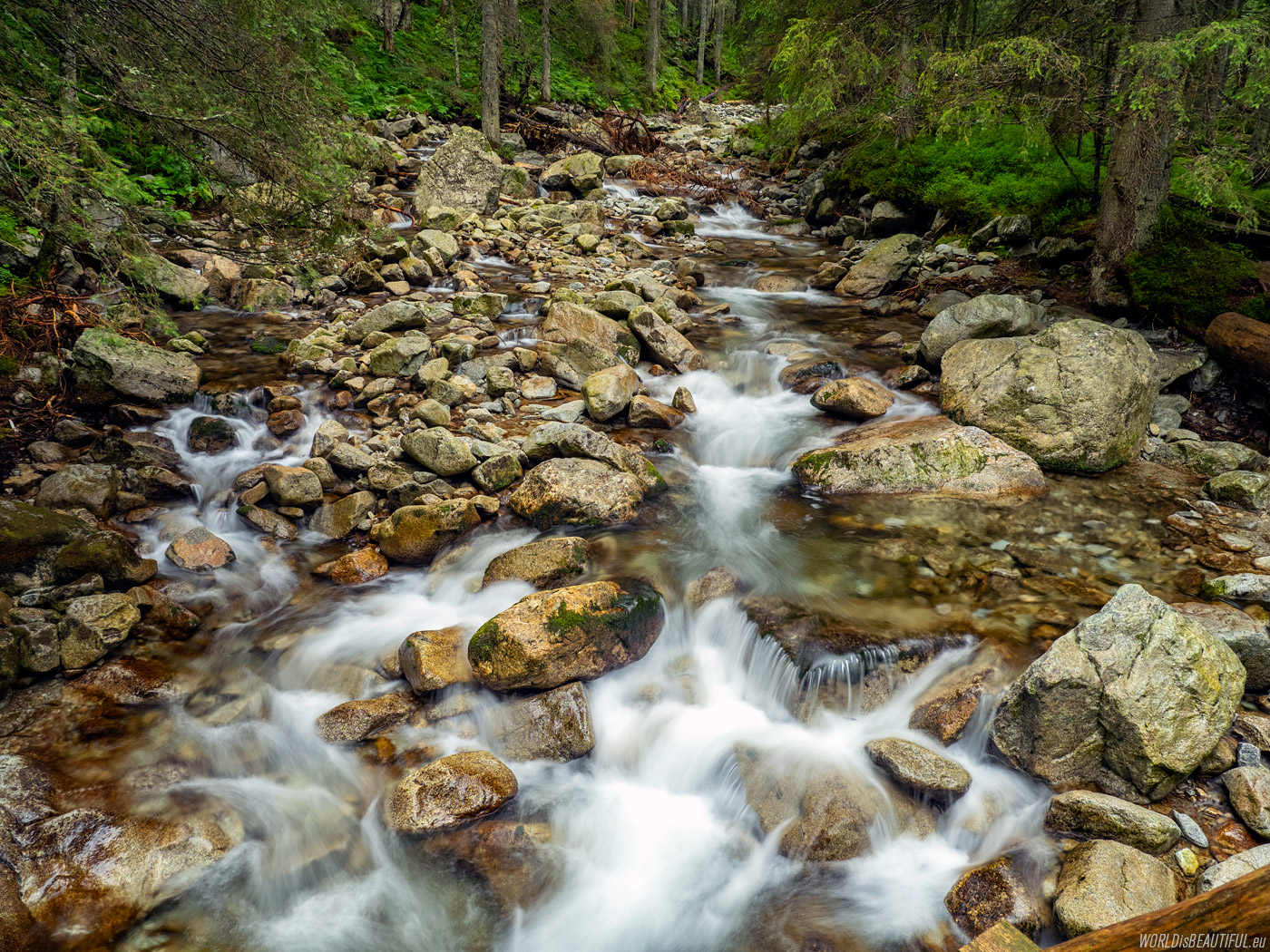
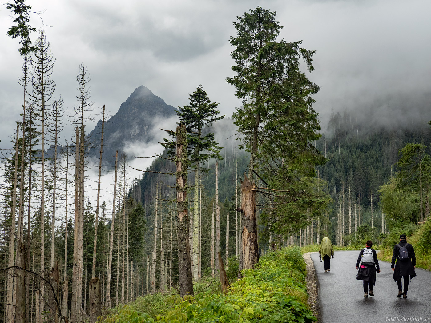
For a long time, the trail led along the Roztoka Stream, which flows from Wielki Staw in the Valley of Five Ponds. The High Tatras greeted us with bad weather. It was raining and it was getting heavier with each of our steps.
Picture number (ID): 1815 Google Map
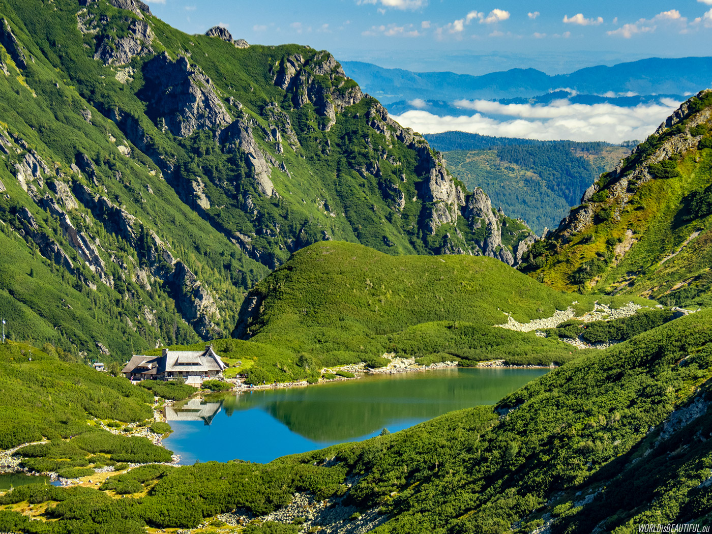
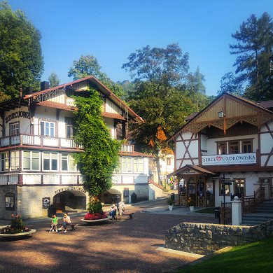
Mountain hut in the Dolina Pięciu Stawów
The PTTK Mountain hut in the valley: Dolina Pięciu Stawów Polskich is beautifully situated on the Przedni Staw. It is the highest situated shelter in the Polish Tatras (1670 m above sea level).
Picture number (ID): 1814 Google Map
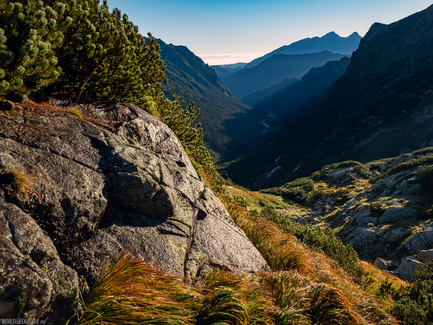
Morning view of the Roztoka Valley from the yellow trail from the valley Dolina Pięć Stawów to the Krzyżne Pass.
Picture number (ID): 1813 Google Map
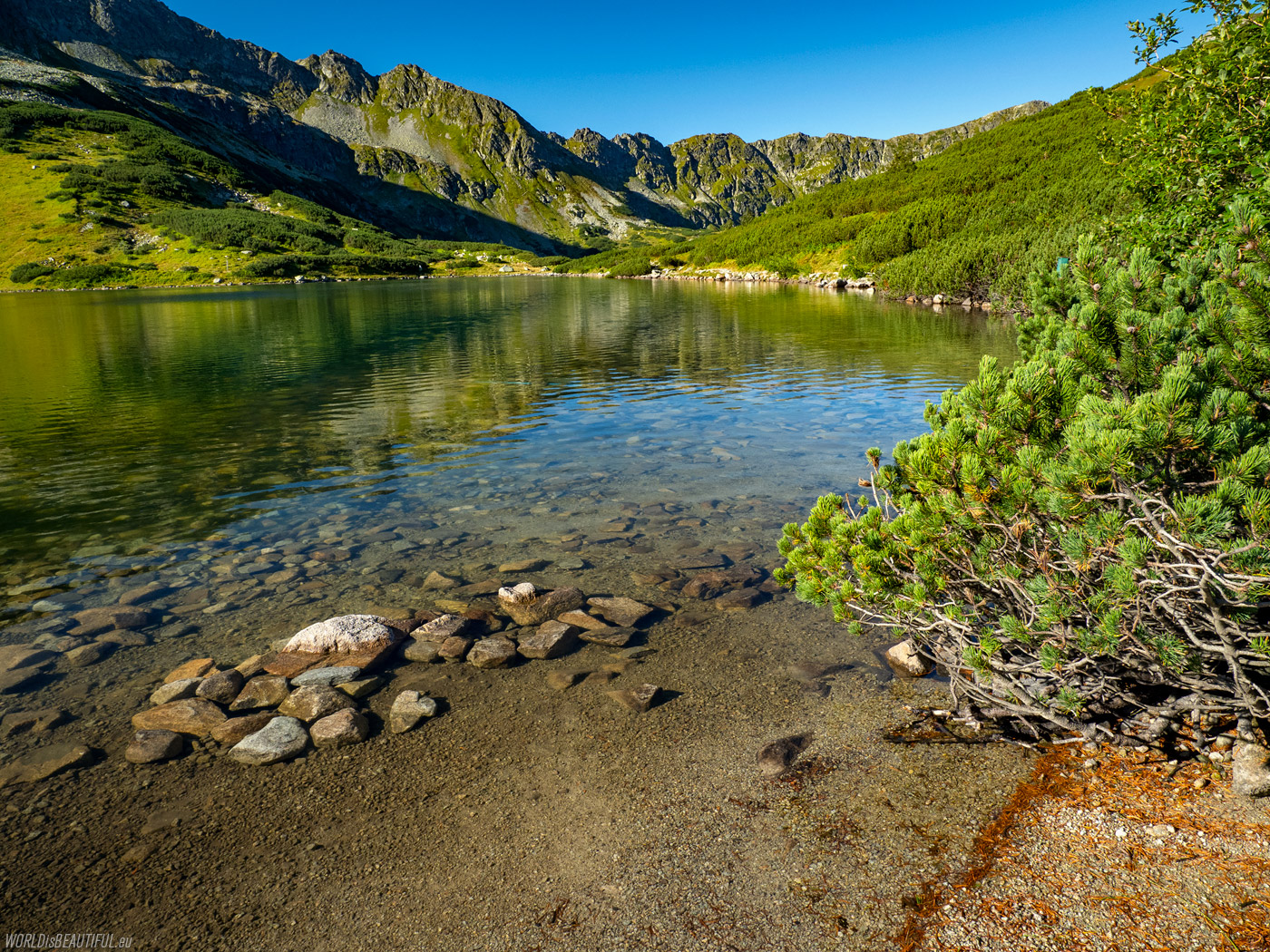
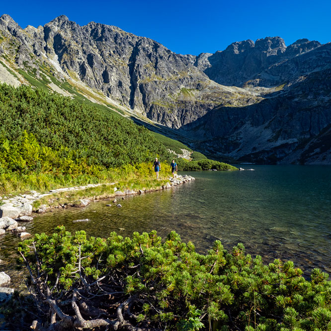
A sunny morning at the Przedni Staw Polski - crystal clear water, lush green and deep blue skies ... what more could you want?
Picture number (ID): 1812 Google Map
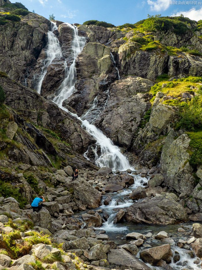
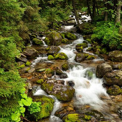
The Siklawa waterfall (Wielka Siklawa) on the Roztoka stream in the High Tatras is 65 meters high. You can feel the power of nature here!
Picture number (ID): 1811 Google Map
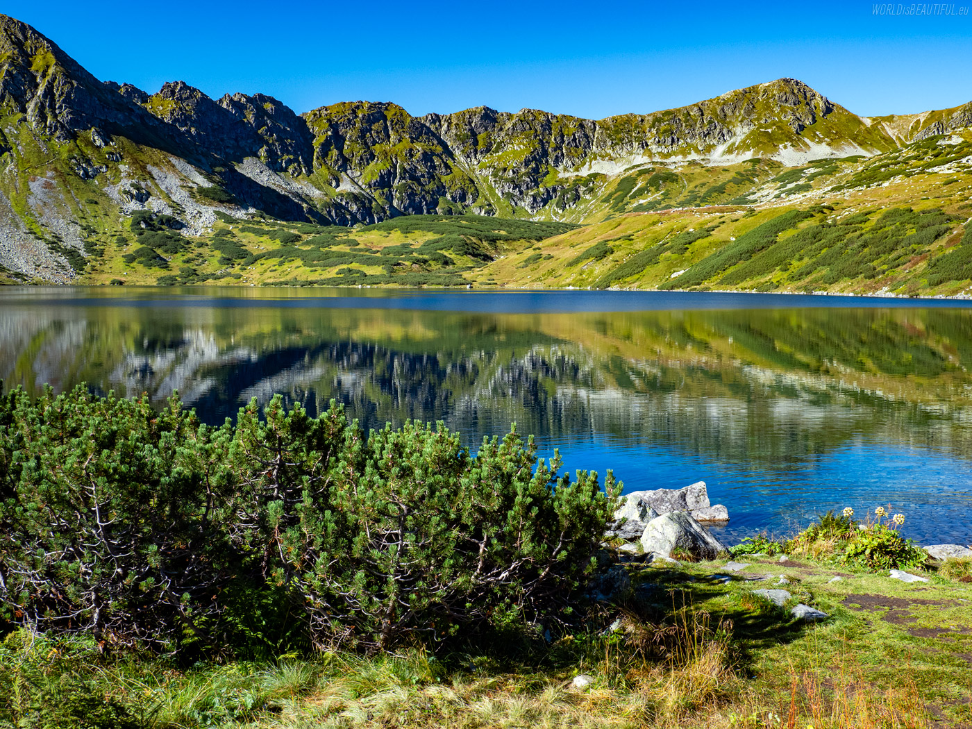
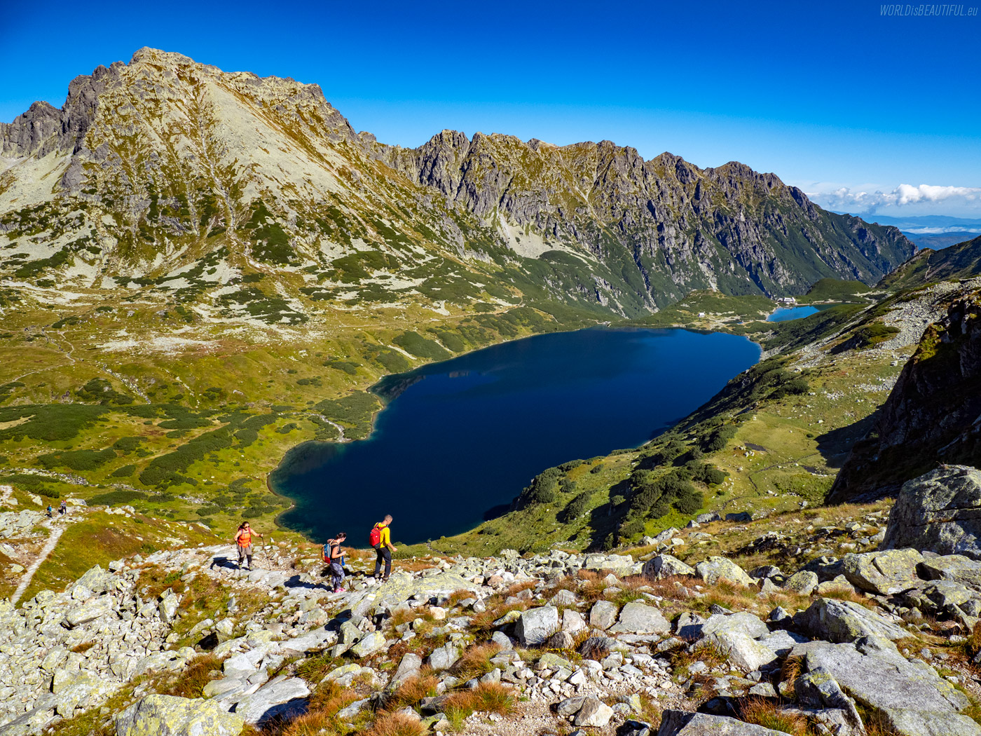
Wielki Staw Polski (Great Polish Pond) is situated at an altitude of 1665 meters above sea level, it is 998 meters long, 452 meters wide, about 80 meters deep and is the deepest lake in the Tatra Mountains.
Picture number (ID): 1810 Google Map
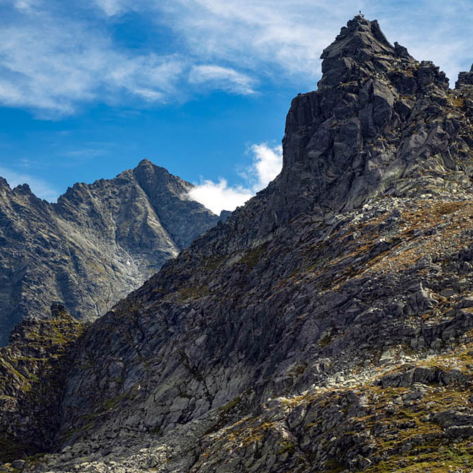
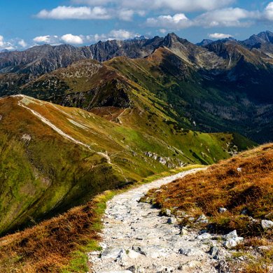
The Krzyżne Pass is at an altitude of 2 112 m and the Orla Perć trail ends there. To the right of the pass you can see the huge Wołoszyn massif.
Picture number (ID): 1809 Google Map
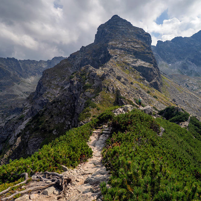
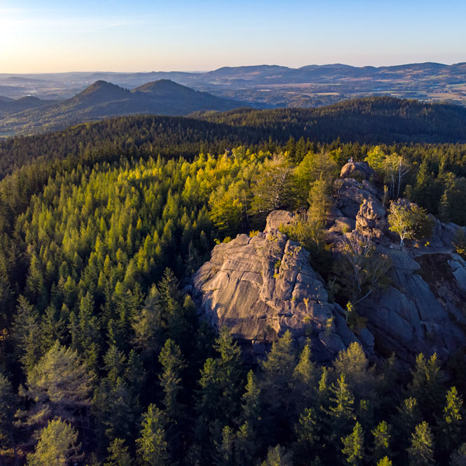
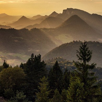
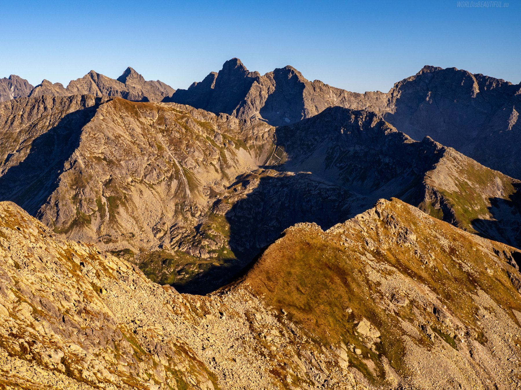
View of the High Tatras - Orla Perc and Koscielec
You can go through Kozia Przełęcz to the neighboring Gąsienicowa Valley from Dolina Pięć Stawów. There is a beautiful view of the High Tatras: Orla Perć and Kościelec.
Picture number (ID): 1819 Google Map
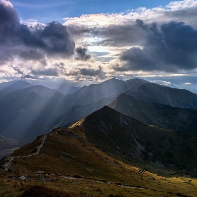
View of the High Tatras from the Zawrat Pass
If you spend the night in the shelter in the Pieciu Stawów Valley, I recommend an evening walk to the Zawrat Pass - you can see a beautiful panorama of the Tatra Mountains.
Picture number (ID): 1818 Google Map

There are actually six ponds in the Dolina Pięciu Stawów Polskich (Valley of Five Polish Ponds): Wielki Staw Polski, Zadni Staw Polski, Czarny Staw Polski, Mały Staw Polski, Przedni Staw Polski and the omitted Wole Oko.
Picture number (ID): 1808 Google Map
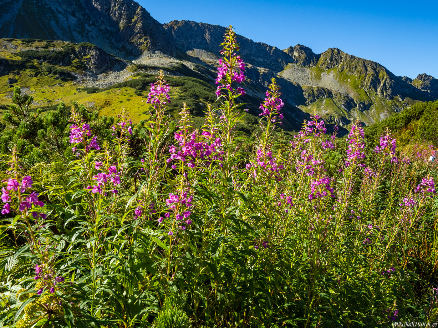
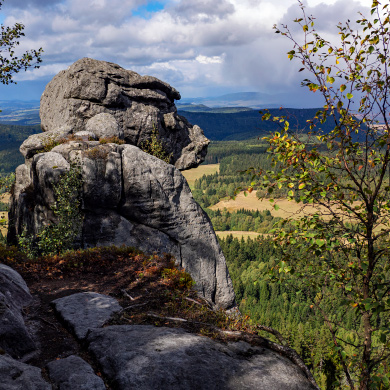
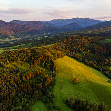
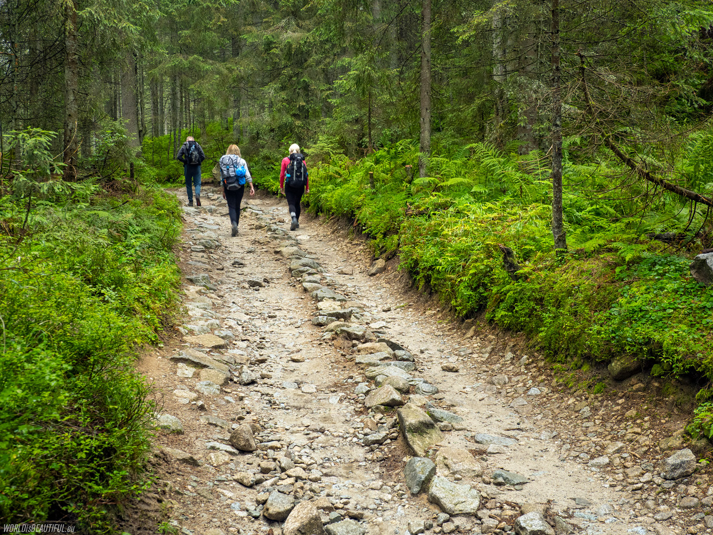
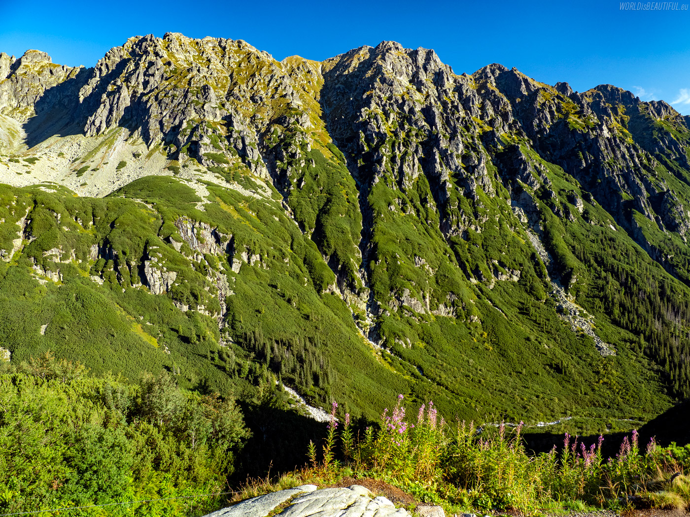
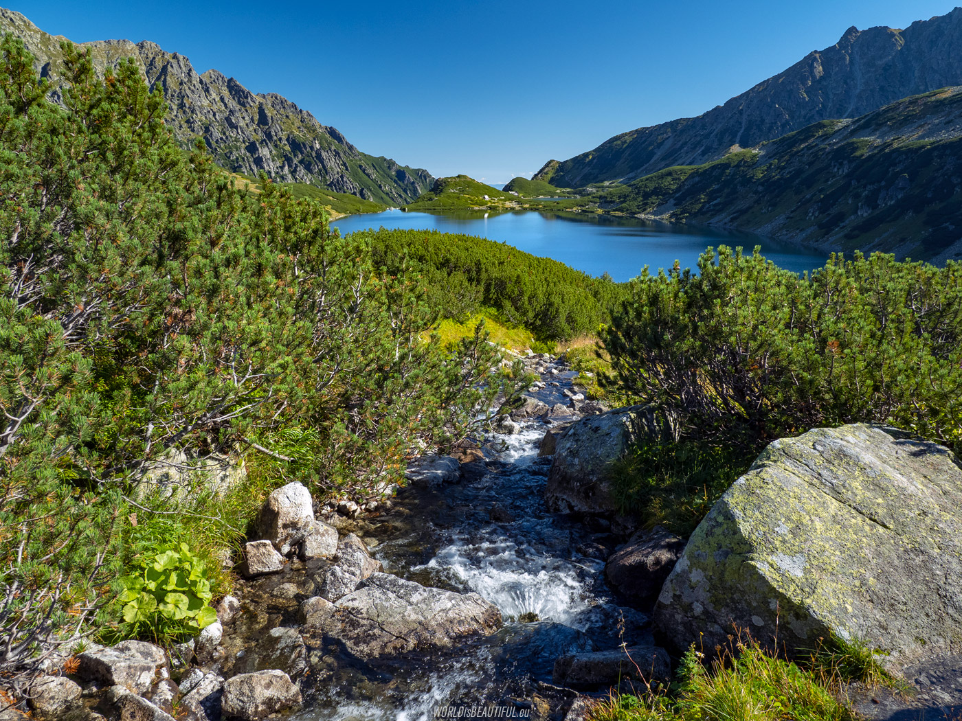
The nature in the High Tatras is amazing. Walking along the trails, I often have the impression that I am in a beautifully maintained park. Flowers, mountain pine shrubs, mosses, lichens, rocks, stones, ponds, streams and mountains - everything looks like a carefully landscaped garden.
Picture number (ID): 1807 Google Map
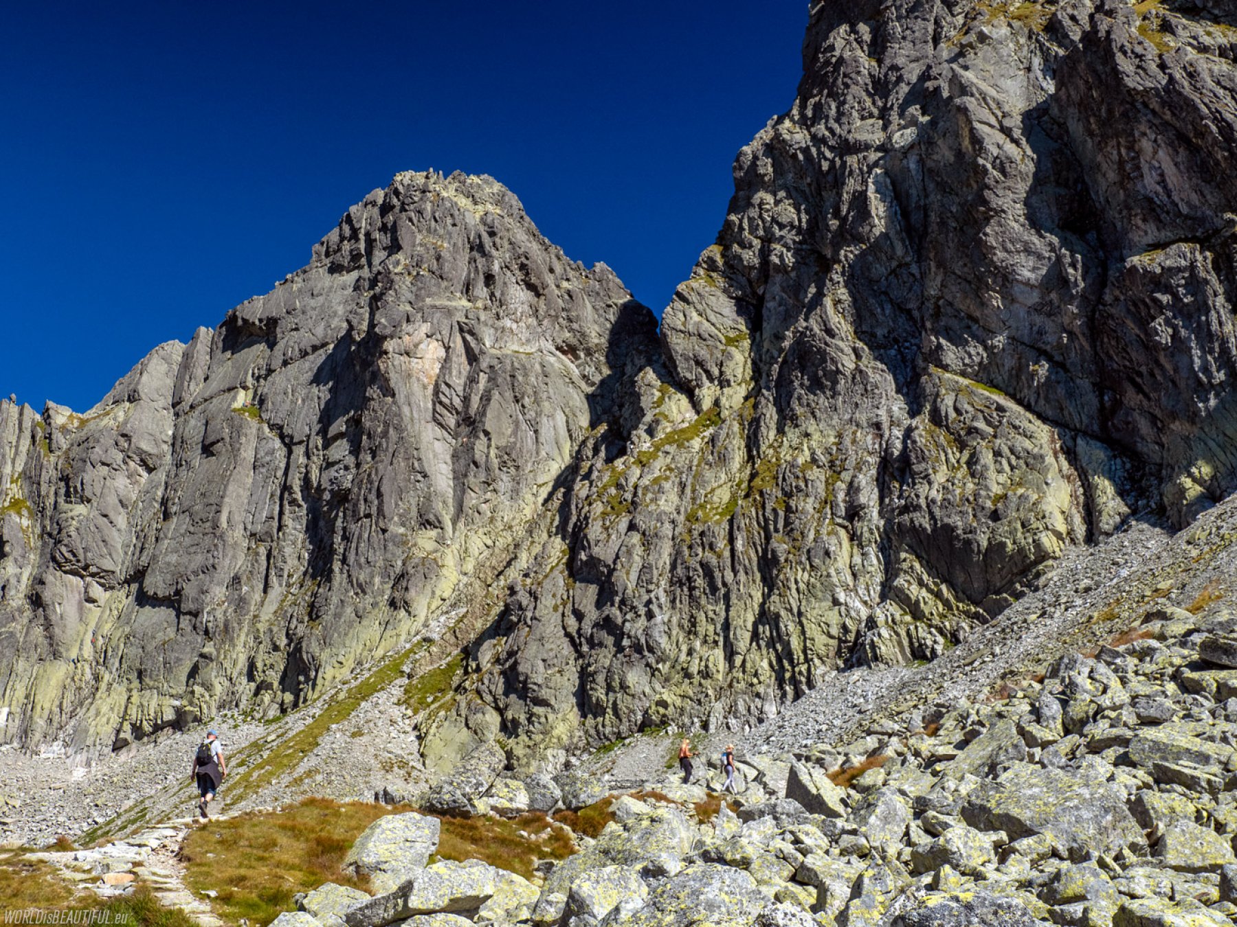
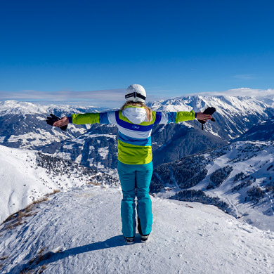
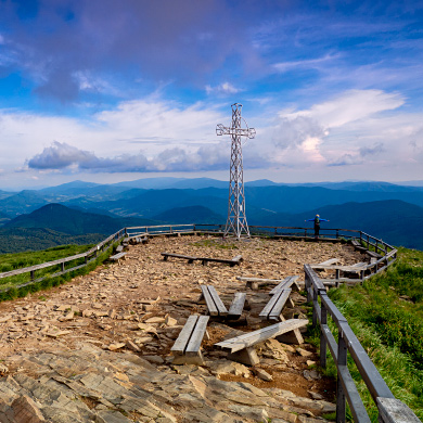
The man in the mountains is so small
Whenever I'm in the mountains, I get this thought: The man in the mountains is so small ... Photo from the yellow trail to Kozia Przełęcz.
Picture number (ID): 1820 Google Map
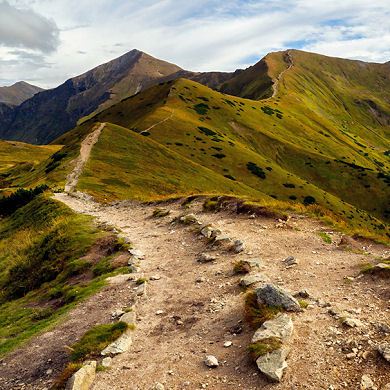
Kozi Wierch, 2,291 m above sea level is the highest mountain that is entirely located in Poland. The peak of Kozi Wierch can be reached by going from Kozia Przełęcz along the red trail along the ridge (Orla Percia) or along the black trail from the valley Dolina Pięć Stawów. Photo from the yellow trail to Szpiglasowy Wierch.
Picture number (ID): 1806 Google Map
Pictures from the Dolina Pięciu Stawów
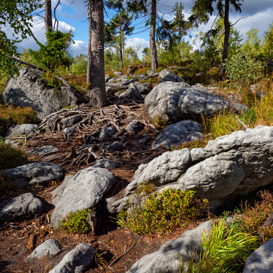
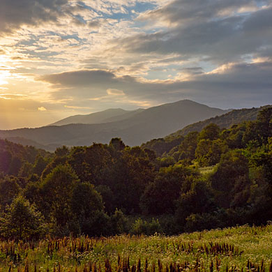
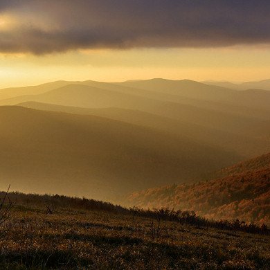
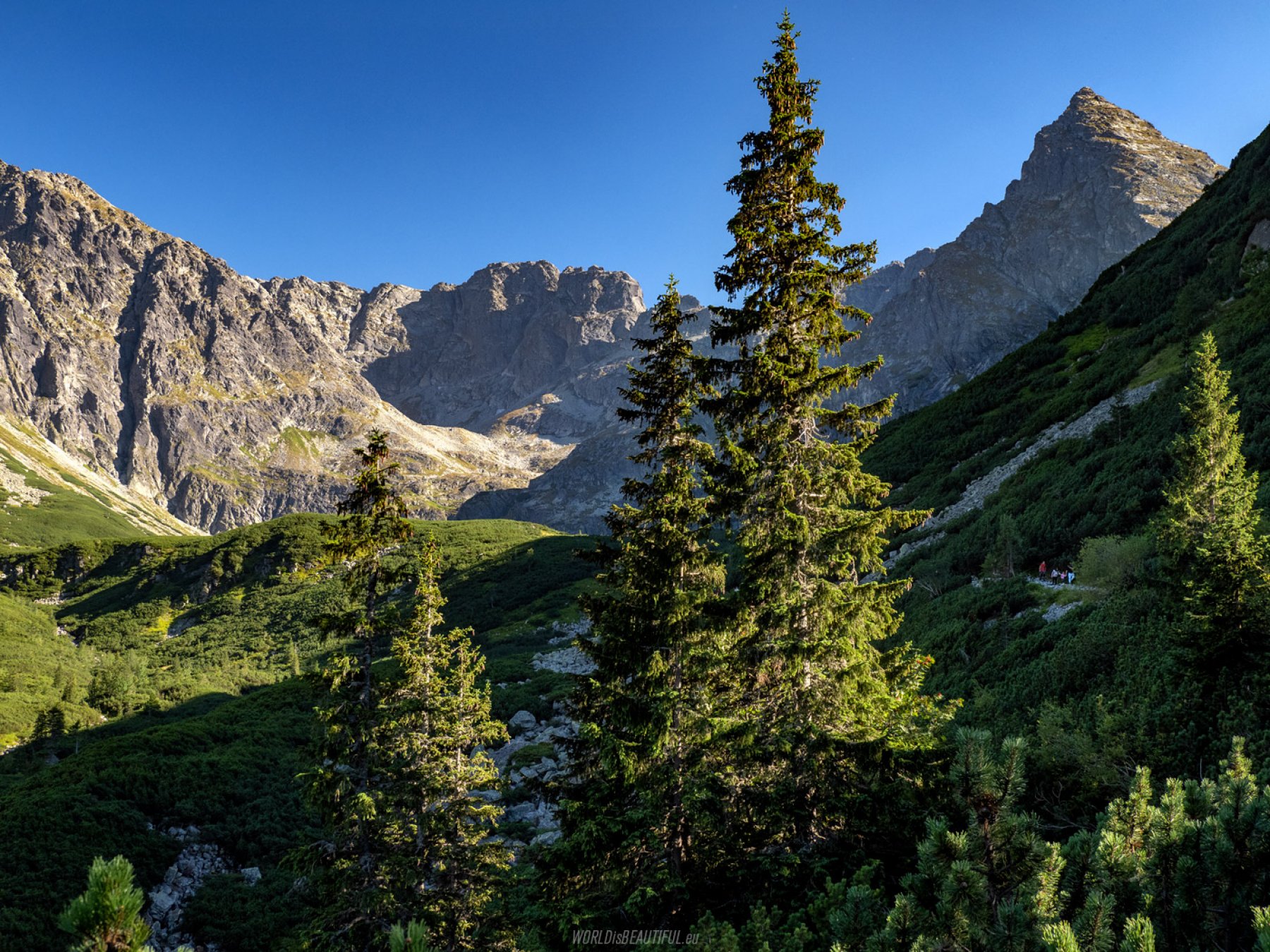
During our several-day stay in the Dolina Pięciu Stawów Polskich (Valley of the Five Polish Ponds), the weather, apart from the first day, was perfect. That is why it was difficult for me to resist not reaching for the camera every few dozen steps on the trail to capture these amazing landscapes on a photo.
Picture number (ID): 1805 Google Map
Find an apartment
See other galleries: